Plizio Visual Lab
Mochico
Weather…
Water temperature…
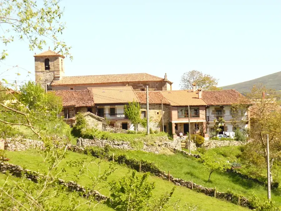
Monte Mochico is a significant elevation in the eastern highlands of Angola, located within the namesake Moxico Province. This mountain is part of a complex relief system that forms the watershed between the Zambezi and Congo river basins. Geologically, the mountain consists of ancient lateritic formations and crystalline rock, rounded by millions of years of weathering. The region surrounding Monte Mochico is characterized by vast Miombo savannas and gallery forests along watercourses. Climatically, the area lies in a tropical zone with a long rainy season that supports lush vegetation. Historically, Moxico Province was a vital theater during the Angolan liberation struggle due to its strategic position on the Zambian border and along the Benguela Railway. Today, Monte Mochico stands as a symbol of the wilderness and the vast, untapped landscapes of eastern Angola. It provides a habitat for specialized animal species and is a destination for geological and ecological field studies.
Best time to visit & climate
The most pleasant time to visit is May, Jul, Aug.
| Jan | Feb | Mar | Apr | May | Jun | Jul | Aug | Sep | Oct | Nov | Dec | |
|---|---|---|---|---|---|---|---|---|---|---|---|---|
| Avg °C | 22 | 22 | 22 | 21 | 20 | 19 | 19 | 22 | 25 | 26 | 24 | 22 |
| Rain mm | 182 | 163 | 193 | 41 | 3 | 1 | 0 | 2 | 12 | 49 | 136 | 194 |
📋 Practical info
Geography
Facts
- The elevation of Monte Mochico is approximately 1350 meters.
- Moxico Province is the largest province in Angola by land area.
- The mountain consists predominantly of rocks from the Kalahari System.
- Annual rainfall in the area ranges between 1100 and 1300 mm.
- The historic Benguela Railway passes in the vicinity of the mountain.
- The area serves as a refuge for various antelope species, including the sable antelope.
Route planner — Car & Motorhome
Where do you start? We build the route here, with stops and country notes along the way.
© OpenStreetMap contributors · OpenRouteService
Sights nearby
Frequently asked questions
How difficult is Monte Mochico?
What is the best season?
Is there parking and access?
Are there toilets or cafes?
Can weather be an issue?
Mochico: where is it located?
Mochico: when is the best time to visit?
Mochico: why is it worth visiting?