Plizio Visual Lab
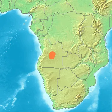
Bié Plateau
Weather…
Water temperature…
The Bié Plateau, also known as the Central Highlands of Angola, is an extensive upland region in the center of the country, with elevations ranging between 1,500 and 1,800 meters. It serves as the hydrological heart of Angola, as it is the source of many major rivers, including the Cuanza, the Cunene, and the Okavango. The climate on the plateau is more temperate than in the coastal plains, which historically made it an attractive area for agricultural settlement. The soils are fertile, allowing for the cultivation of maize, coffee, and various grains. The region was a vital center for the Ovimbundu people and played a central role in transcontinental trade routes. Despite the devastation during the long civil war, the plateau is currently undergoing a renaissance through new infrastructure projects and the revival of the agricultural economy. The rolling hills and wide plains define the landscape, making it one of the most productive regions in the country.
- Location: Angola
- Nearby: Camacupa (51 km)
Best time to visit & climate
The most pleasant time to visit is May, Jul, Aug.
| Jan | Feb | Mar | Apr | May | Jun | Jul | Aug | Sep | Oct | Nov | Dec | |
|---|---|---|---|---|---|---|---|---|---|---|---|---|
| Avg °C | 22 | 22 | 22 | 22 | 20 | 19 | 19 | 22 | 25 | 26 | 23 | 22 |
| Rain mm | 171 | 161 | 203 | 53 | 7 | 1 | 0 | 2 | 23 | 58 | 149 | 164 |
📋 Practical info
Geography
Facts
- The Bié Plateau occupies approximately one-tenth of Angola's total land area.
- The highest point of the plateau is Mount Moco, reaching over 2,600 meters.
- Rivers originating here drain into the Atlantic, the Congo, and the Indian Ocean basins.
- The provincial capital Huambo is considered the economic hub of the highlands.
- The Benguela Railway traverses the plateau from west to east.
- Average temperatures range between 15 °C and 25 °C due to the high elevation.
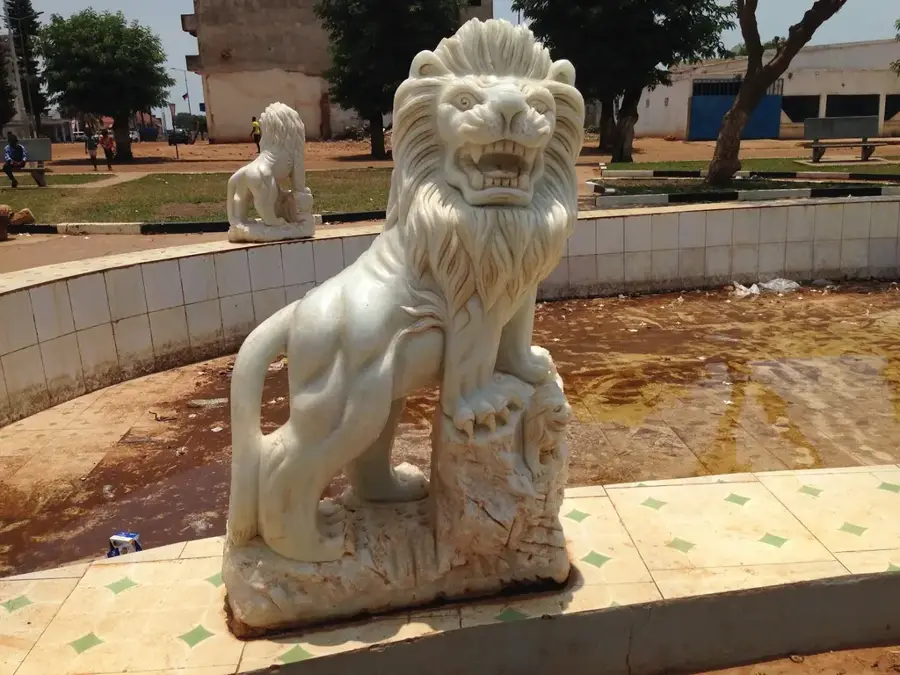
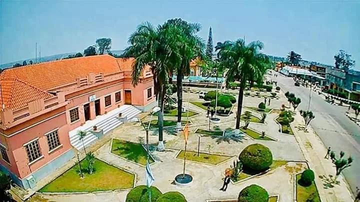
Explore nearby
Notable places around
Route planner — Car & Motorhome
Where do you start? We build the route here, with stops and country notes along the way.
© OpenStreetMap contributors · OpenRouteService
Sights nearby
Frequently asked questions
What is Bié-Hochland like for travelers?
When is the best time for Bié-Hochland?
Is the region good for a road trip?
Is there much infrastructure there?
Is Bié-Hochland good for photography?
Bié Plateau: where is it located?
Bié Plateau: when is the best time to visit?
Bié Plateau: why is it worth visiting?

Nearby cities
History & landmarks
Nature
More places