Plizio Visual Lab
Djelfa
ℹ️Practical info — Djelfa
▾
🌤 Weather — 5 days
📍 Nearby
Sights nearby
💡 Tips
- The climate here is semi-arid and elevated; winters can be surprisingly cold and snowy, so pack warm layers if visiting then.
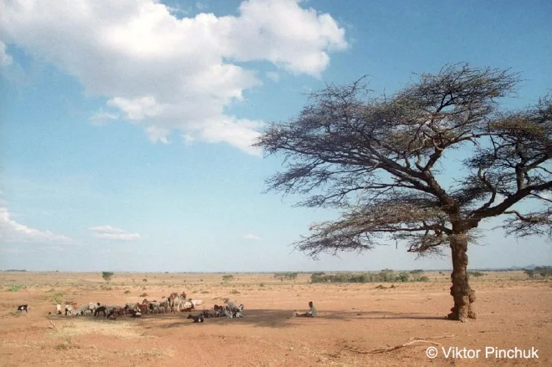
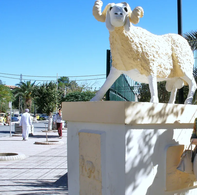
- Experience the spirited local culture by visiting the massive livestock market, one of the largest in Algeria.
- Hire a knowledgeable local driver to take you to the nearby Zaccar rock engravings, as they can be difficult to find alone.
- Djelfa is a conservative steppe town; dress modestly and respect local customs during your stay.
🍽 Food
Whole roasted lamb, a regional specialty celebrating the area's massive sheep herds, available at traditional restaurants.
Served with lamb and dried vegetables, the hearty traditional staple found in local diners.
A sweet, energetic paste made from butter, honey, and roasted wheat, usually prepared for special occasions but sometimes found in pastry shops.
🛍 Shopping · 🧘 Quiet spots
Head here early on market day to witness the incredible scale of the sheep trade.
Look for traditional burnous cloaks and thick blankets made from local sheep wool in the town center.
A refreshing pine forest just outside the city, excellent for quiet hiking and escaping the urban bustle.
The 'Salt Rock', a unique geological formation offering stark, quiet landscapes a short drive away.
Water temperature…
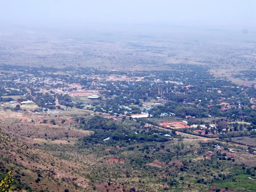
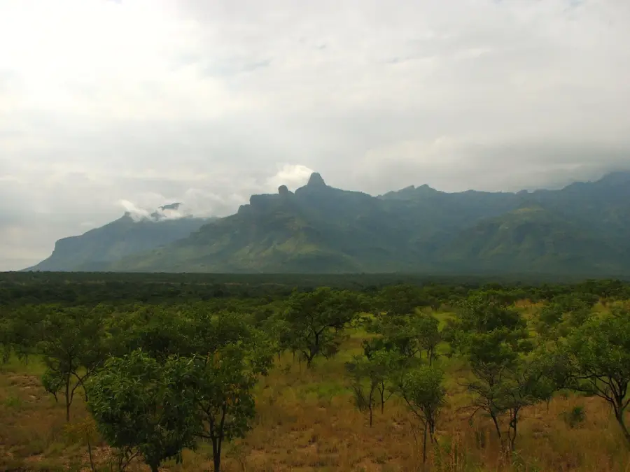
Djelfa is situated in the central highlands of Algeria, roughly 300 kilometers south of Algiers, within the Ouled Naïl mountain range. At an elevation of 1,138 meters, the city serves as a crucial transition zone between the fertile Tell Atlas to the north and the expansive Sahara Desert to the south. While the modern town was established as a French military post in 1852, the region's history extends back to the Neolithic era, evidenced by numerous prehistoric rock carvings found in the vicinity. Djelfa is widely recognized as Algeria's livestock capital, particularly famous for its sheep markets and the Ouled Naïl breed, which is essential to the national wool and meat industry. The local culture is heavily influenced by the heritage of nomadic and semi-nomadic tribes, reflected in its animated markets, traditional crafts, and distinct music. The climate is semi-arid, characterized by sharp temperature fluctuations between day and night and harsh seasonal changes. Recent investments have transformed Djelfa into a major regional administrative center and a growing hub for higher education.
- Location: Algeria
- Top sights: Mathaf almojahid · Break place · Maison de jeunes
- Population: ~265.833 (2026)
Geography
Facts
- The region contains over 1,000 prehistoric rock carvings dating back 7,000 years.
- It is one of the coldest cities in Algeria during winter due to its high altitude.
- The Ouled Naïl tribe, native to the area, is famous for its unique traditional dances.
- Djelfa's sheep market is the largest and most influential in the country.
- The city was a site of internment camps during the French colonial era and WWII.
- Annual precipitation is low, averaging between 250 and 350 mm.
Explore nearby
Notable places around
Route planner — Car & Motorhome
Where do you start? We build the route here, with stops and country notes along the way.
© OpenStreetMap contributors · OpenRouteService
Sights in the town Djelfa (7)
Frequently asked questions
What is Djelfa known for?
Are there prehistoric finds in Djelfa?
Where is Djelfa located geographically?
What is the 'Rocher de Sel'?
How is the weather there?
Djelfa: where is it located?
Djelfa: what is there to see?
Djelfa: why is it worth visiting?