Plizio Visual Lab
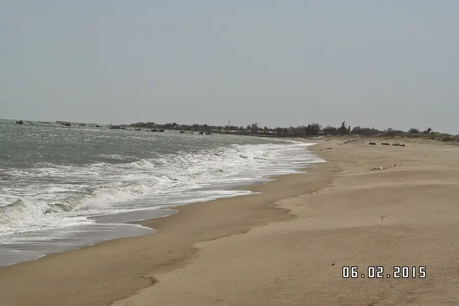
Phú Yên Coastline
Weather…
Water temperature…
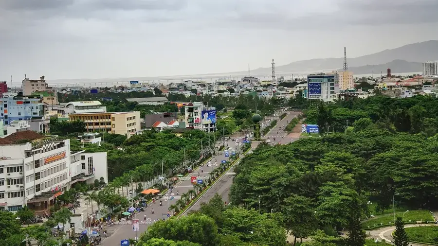
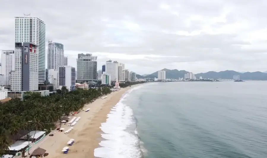
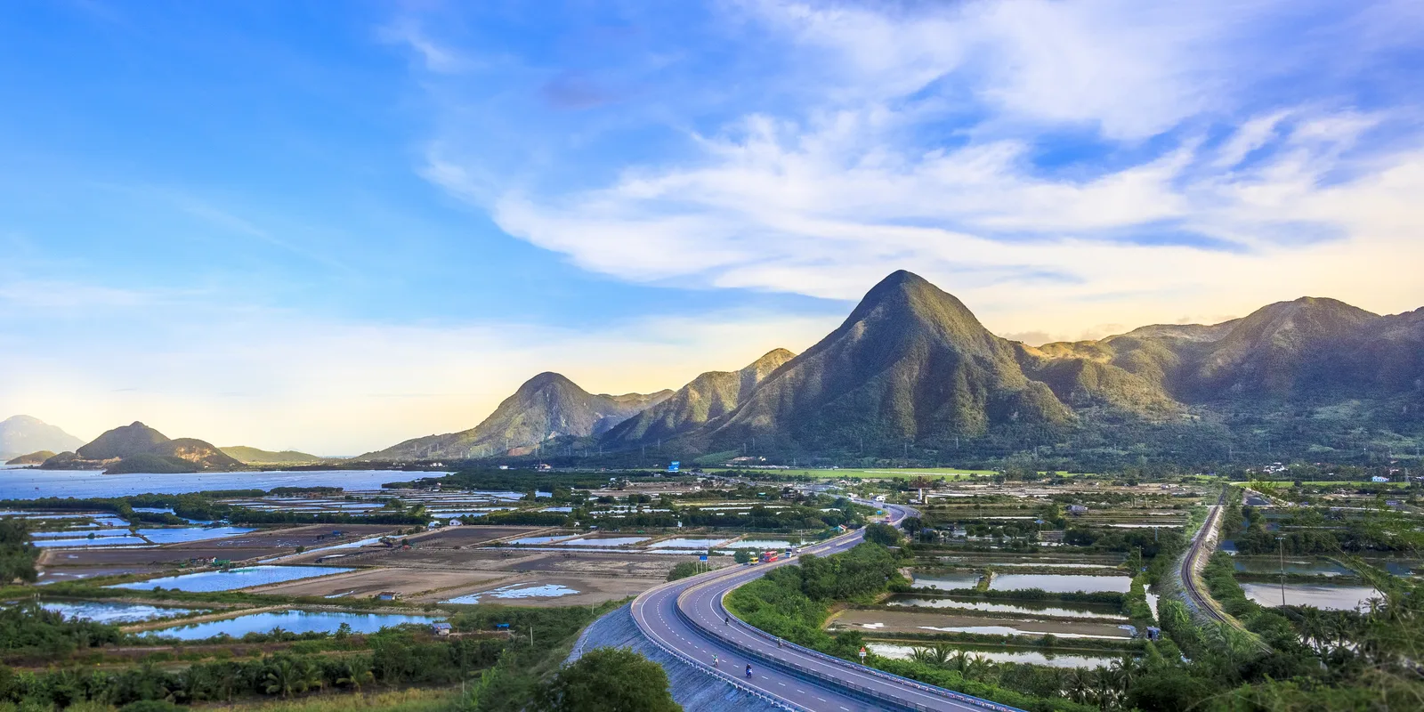
The coastline of Phu Yen Province in Central Vietnam spans nearly 190 kilometers and is renowned for its unique geological formations. The most prominent feature is Ganh Da Dia, a collection of thousands of interlocking basalt columns formed millions of years ago by volcanic activity and rapid cooling. Geographically, the coast includes Cape Dai Lanh (Mui Dien), which is widely recognized as one of the easternmost points of the Indochinese Peninsula. Historically, Vung Ro Bay played a strategic role during the Vietnam War as a landing site for the 'Unnumbered Ships' supply route. The region is characterized by a blend of steep cliffs, hidden lagoons such as O Loan, and expansive sandy beaches. The coastline's economic significance is rooted in fishing, lobster farming, and a growing tourism sector, which gained international fame following the release of the film 'Yellow Flowers on the Green Grass.'
- Location: Vietnam
- Top sights: Mỹ A · Bãi rêu xanh Xóm Rớ
- Nearby: Hoa Hiep (4 km)
Best time to visit & climate
The most pleasant time to visit is Jan–Mar.
| Jan | Feb | Mar | Apr | May | Jun | Jul | Aug | Sep | Oct | Nov | Dec | |
|---|---|---|---|---|---|---|---|---|---|---|---|---|
| Avg °C | 24 | 24 | 26 | 28 | 29 | 29 | 29 | 29 | 28 | 27 | 26 | 25 |
| Rain mm | 43 | 14 | 34 | 40 | 112 | 93 | 97 | 130 | 212 | 295 | 320 | 136 |
📋 Practical info
Geography
Facts
- The Phu Yen coastline extends for approximately 189 kilometers.
- Ganh Da Dia features over 35,000 interlocking basalt columns.
- The lighthouse at Cape Dai Lanh was first established in 1890.
- O Loan Lagoon spans a total area of 1,200 hectares.
- Vung Ro Bay was the site of a major naval blockade in 1965.
- The province's coast is punctuated by more than 20 small bays.
Explore nearby
Notable places around
Route planner — Car & Motorhome
Where do you start? We build the route here, with stops and country notes along the way.
© OpenStreetMap contributors · OpenRouteService
Sights in the town Phú Yên Coastline (2)
Sights nearby
Frequently asked questions
Is the Phu Yen coastline crowded?
What must you see there?
Is it suitable for families?
What is the best time to visit?
Best way to explore the coast?
Phú Yên Coastline: where is it located?
Phú Yên Coastline: what is there to see?
Phú Yên Coastline: when is the best time to visit?
Phú Yên Coastline: why is it worth visiting?

Nearby cities

Nature
More places