Plizio Visual Lab
Port of Guanta
Weather…
Water temperature…
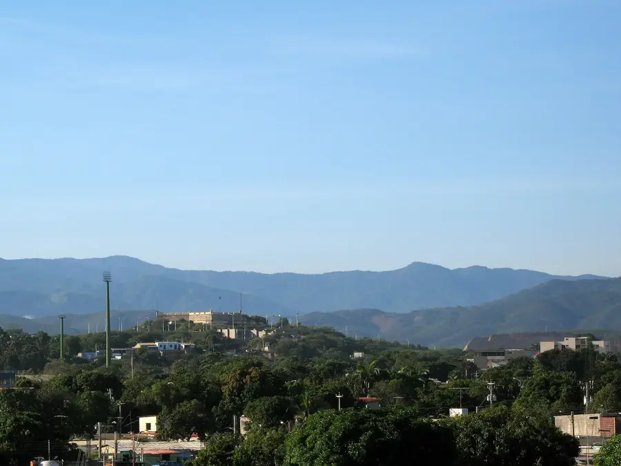
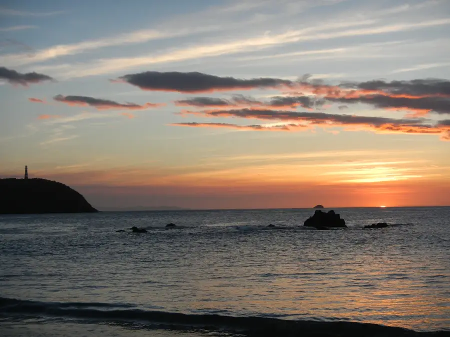
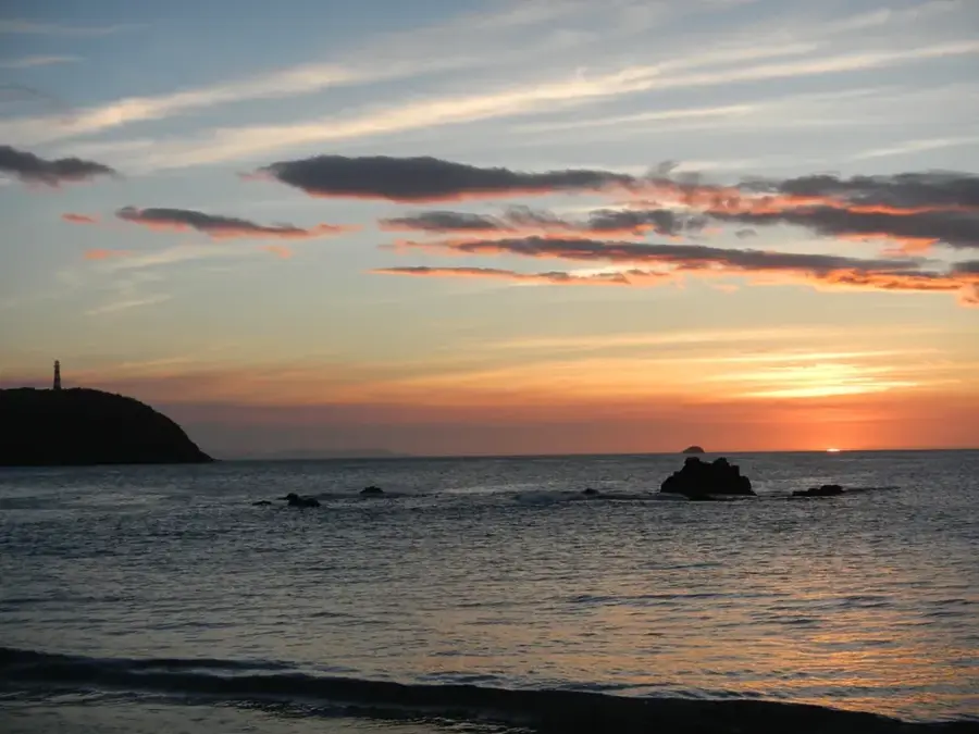
The Port of Guanta is located within a deep, natural bay in Anzoátegui State, just east of the city of Puerto La Cruz. It is widely regarded as one of Venezuela's safest ports because its geographical configuration provides superior protection against ocean currents and high winds. While the port's origins date back to the colonial era, its modern infrastructure was developed alongside the region's industrial boom in the 20th century. Guanta specializes in the handling of cement, bulk cargo, and heavy industrial machinery destined for the oil and gas fields of the Orinoco Belt. The bay's significant natural depth allows for the arrival of deep-draft vessels without the need for extensive dredging operations. In addition to its commercial role, Guanta serves as a major ferry terminal connecting the mainland with Margarita Island. The port's strategic connection to the national highway system ensures the efficient distribution of goods to the southeastern regions of the country, where major mining and energy projects are located.
- Location: Venezuela
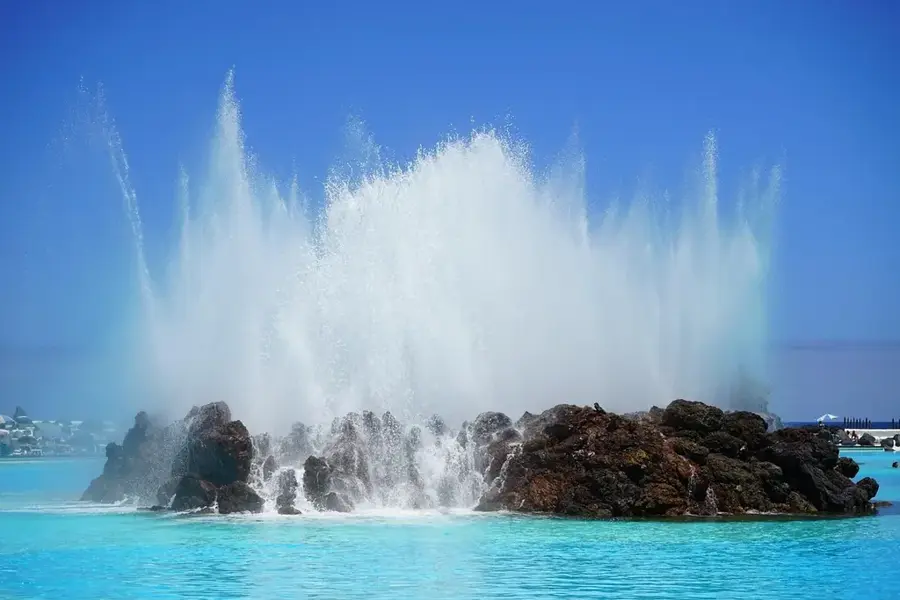
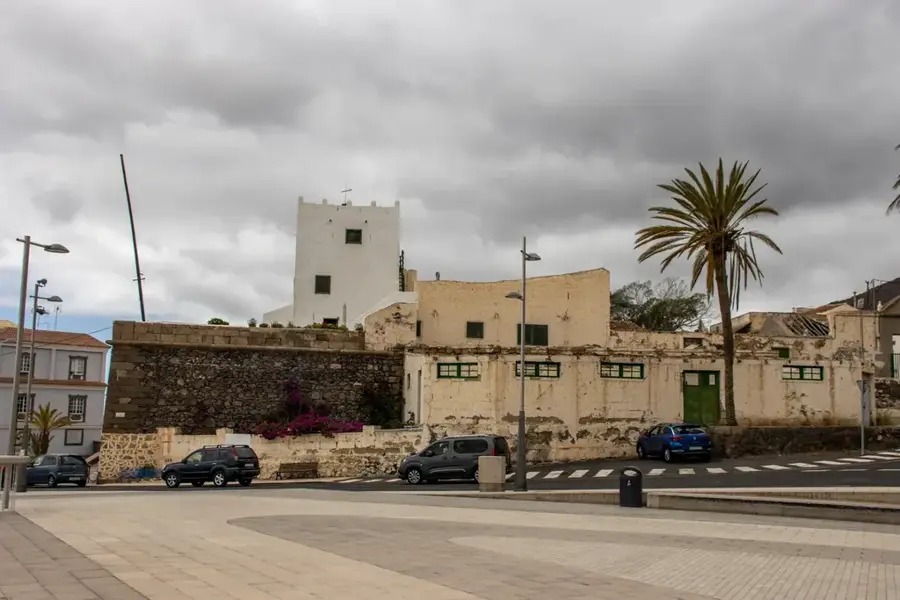
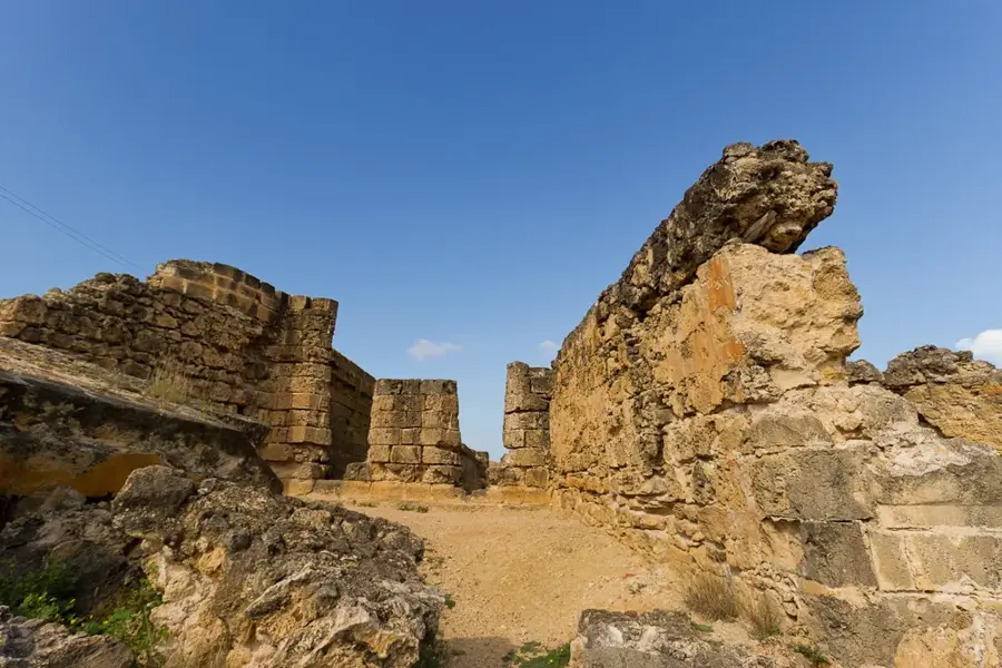
- Top sights: Cerro La Maravilla · Cerro San Agustín · Cerro El Toro
Best time to visit & climate
The most pleasant time to visit is Jan–Mar.
| Jan | Feb | Mar | Apr | May | Jun | Jul | Aug | Sep | Oct | Nov | Dec | |
|---|---|---|---|---|---|---|---|---|---|---|---|---|
| Avg °C | 25 | 26 | 28 | 29 | 29 | 27 | 27 | 27 | 27 | 27 | 27 | 26 |
| Rain mm | 32 | 15 | 16 | 20 | 47 | 93 | 115 | 105 | 84 | 76 | 69 | 63 |
📋 Practical info
Geography
Facts
- The Port of Guanta was officially founded in 1594 during the colonial era.
- The bay offers a natural depth of up to 12 meters at the dockside.
- Guanta is the primary export point for Venezuela's national cement production.
- The facility features six main berths with a total quay length of 1,000 meters.
- It is located approximately 10 kilometers (6 miles) from Puerto La Cruz city center.
- The port acts as a vital logistics base for the Orinoco Oil Belt operations.
Explore nearby
Notable places around
Route planner — Car & Motorhome
Where do you start? We build the route here, with stops and country notes along the way.
© OpenStreetMap contributors · OpenRouteService
Sights in the town Port of Guanta (8)
Sights nearby
Frequently asked questions
What is the importance of Guanta?
How to travel to Isla Margarita?
When is the best time to visit?
Are there nearby sights?
Is the place safe for tourists?
Port of Guanta: where is it located?
Port of Guanta: what is there to see?
Port of Guanta: when is the best time to visit?
Port of Guanta: why is it worth visiting?

More places