Plizio Visual Lab
Mendip Hills
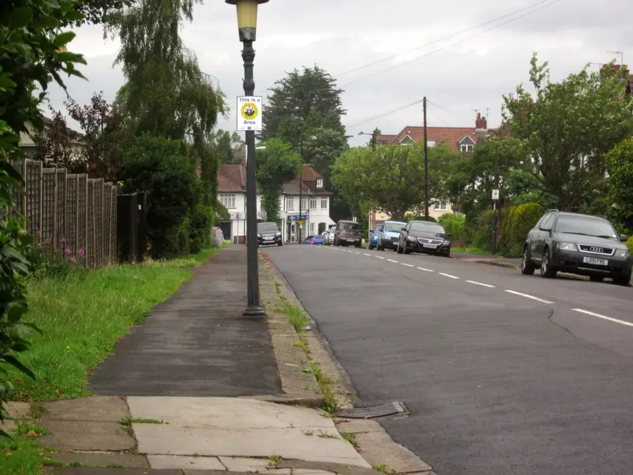
The Mendip Hills are a prominent limestone ridge in Somerset, south of Bristol, covering an area of approximately 200 square kilometers. The plateau is famous for its dramatic gorges, most notably Cheddar Gorge, which carves deep into the limestone rock. Beneath the surface lies one of Britain's most complex cave systems, including the well-known Wookey Hole Caves. Geologically, the hills consist of Carboniferous limestone, showing fascinating karst features created by water erosion over millennia. Historically, the area was a significant mining region, with Romans extracting lead and silver as early as the 1st century AD. Since 1972, the Mendip Hills have been designated an Area of Outstanding Natural Beauty, ensuring the protection of its rich calcareous grasslands. The region is now a major center for caving, climbing, and hiking in southwest England.
- Location: United Kingdom, United Kingdom
- Top sights: Upper Flood Swallet · Roman Fort · Ubley Warren Nature Reserve
- Nearby: Cheddar (6 km)
Best time to visit & climate
The most pleasant time to visit is Jul–Sep.
| Jan | Feb | Mar | Apr | May | Jun | Jul | Aug | Sep | Oct | Nov | Dec | |
|---|---|---|---|---|---|---|---|---|---|---|---|---|
| Avg °C | 5 | 5 | 6 | 9 | 12 | 15 | 17 | 17 | 14 | 11 | 8 | 5 |
| Rain mm | 76 | 60 | 60 | 50 | 60 | 62 | 69 | 72 | 50 | 83 | 86 | 84 |
📋 Practical info
Geography
Facts
- The highest point of the hills is Beacon Batch at 325 meters.
- Cheddar Gorge has cliffs that reach a depth of 137 meters.
- Roman lead mining in the region began as early as 49 AD.
- The Mendip Hills were designated as an AONB in 1972.
- Wookey Hole Caves feature the largest underground river in Britain.
- The area is vital for water supply to the Chew Valley Lake reservoir.
Explore nearby
Notable places around
Route planner — Car & Motorhome
Where do you start? We build the route here, with stops and country notes along the way.
© OpenStreetMap contributors · OpenRouteService
Sights in the town Mendip Hills (10)
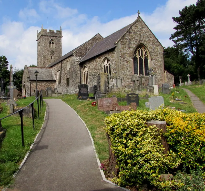
St Hugh's Charterhouse
Church in Charterhouse, Somerset, England, UK, a place of worship.
Manor Farm Swallet
Cave in Somerset, England, an entrance to a cave system.
Roman amphitheatre
Roman amphitheatre in the Mendip Hills, remains of an arena.
Velvet Bottom Nature Reserve
Nature reserve in the Mendip Hills, known for its flora.
Longwood Swallet
Cave in Somerset, England, an access to underground passages.
Long Wood Nature Reserve
Nature reserve in the Mendip Hills, protects ancient woodland.
Sights nearby
Frequently asked questions
What is the main attraction of the Mendip Hills?
Is photography allowed in the caves?
What is the region culinarily famous for?
Are there opportunities for climbing?
How is the accessibility?
Mendip Hills: where is it located?
Mendip Hills: what is there to see?
Mendip Hills: when is the best time to visit?
Mendip Hills: why is it worth visiting?

Nearby cities