Plizio Visual Lab
Leicester Forest East
ℹ️Practical info — Leicester Forest East
▾
🌤 Weather — 5 days
📍 Nearby
Sights nearby
💡 Tips
- While the M1 service station is famous, head into the residential area via Hinckley Road for more authentic local dining.
- Traffic on the A47 can be quite heavy during peak commuter hours, so plan your journeys towards Leicester accordingly.
- Local bus services along Hinckley Road provide a frequent and stress-free connection right into Leicester city center.
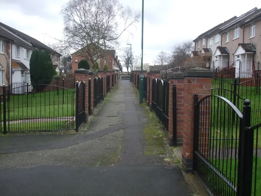
- There are some lovely hidden green spaces within the suburb, excellent for a quiet walk away from the main roads.
🍽 Food
Cozy pubs along Hinckley Road serve up hearty, traditional British meals and Sunday roasts.
Find great cafes in the area offering excellent full English breakfasts to start your day.
Grab a classic portion of fish and chips from a local chippy within the residential center.
🛍 Shopping · 🧘 Quiet spots
Explore the local convenience stores and independent shops for daily needs and snacks.
A massive retail park just a short drive away, excellent for major high-street brands and fashion.
Discover small, peaceful parks within the residential area, well-suited for a quiet stroll or walking the dog.
Take a short drive to see the scenic, ruined, and moated brick castle grounds.
Water temperature…
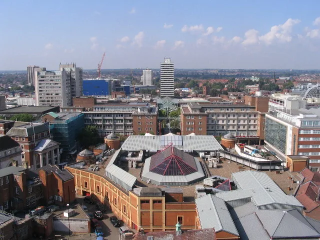
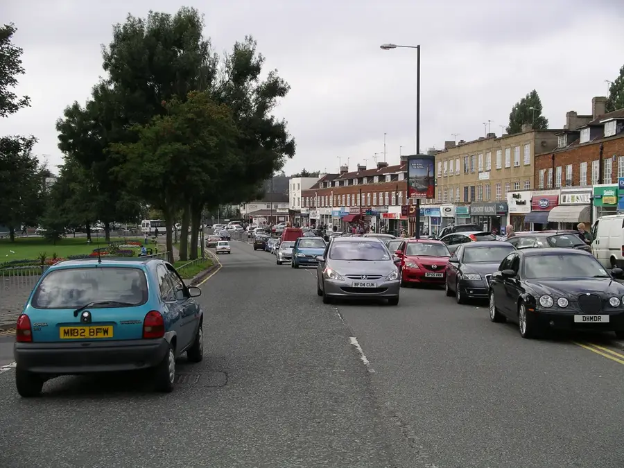
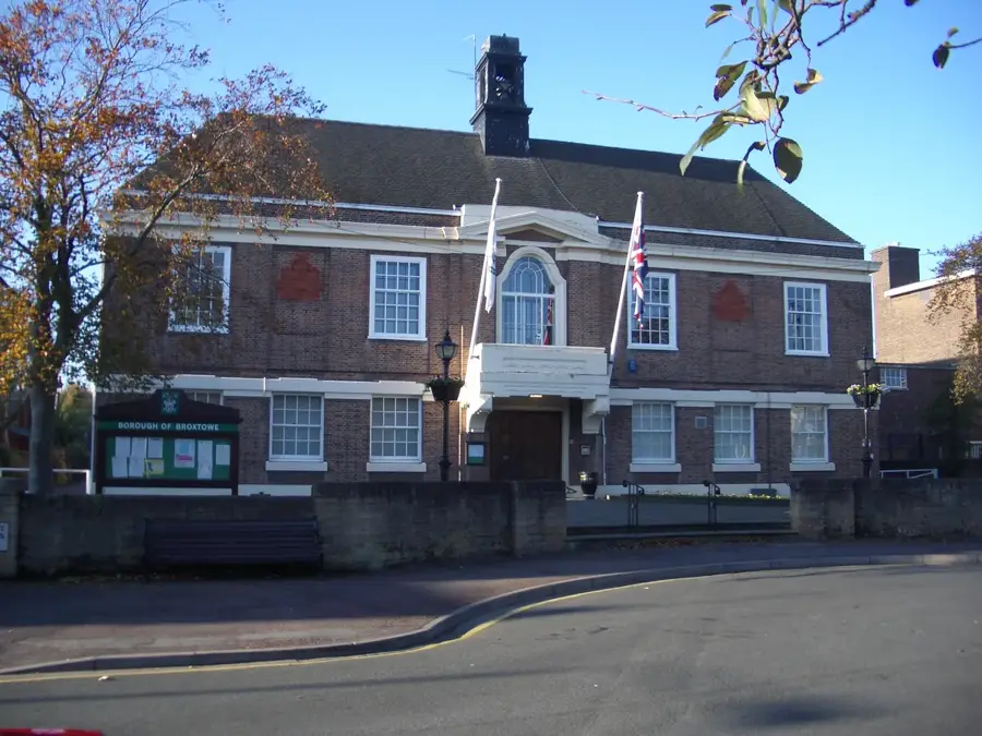
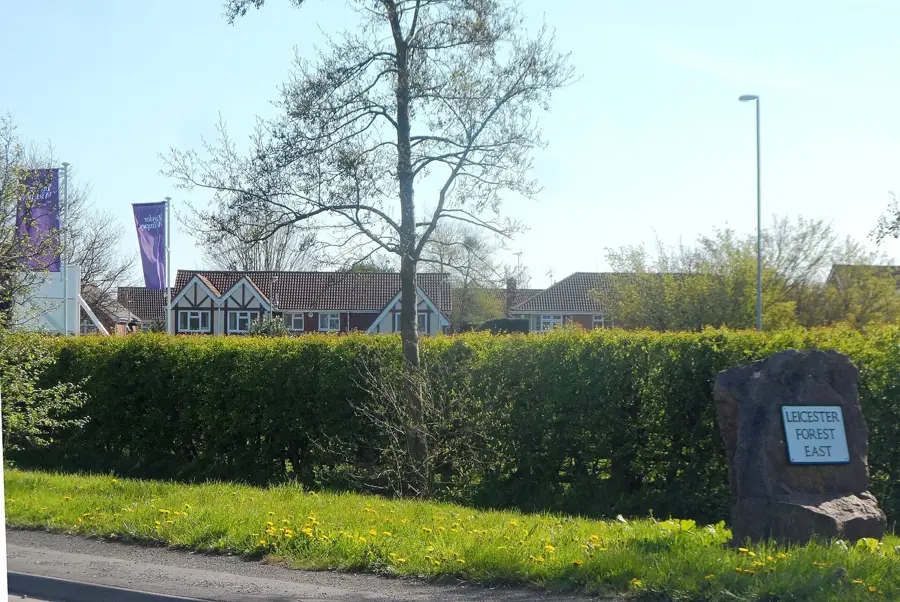
Leicester Forest East is a civil parish and residential suburb located in the Blaby district of Leicestershire, England. Situated just west of the Leicester city boundary, the area takes its name from the historic royal forest that once covered much of the landscape. Most of the town's growth occurred during the mid-to-late 20th century, spurred by suburban expansion and the construction of the M1 motorway. The motorway services at Leicester Forest East, opened in the 1960s, became a landmark of the British road network due to its bridge restaurant architecture, which was inspired by Italian design. Today, the parish is a popular commuter location, offering a blend of modern housing estates and proximity to the amenities of Leicester. It maintains its own identity with local schools, parish councils, and community centers, while providing residents with easy access to the national motorway network and the nearby Fosse Shopping Park, one of the largest out-of-town shopping centers in the UK.
- Location: United Kingdom, United Kingdom
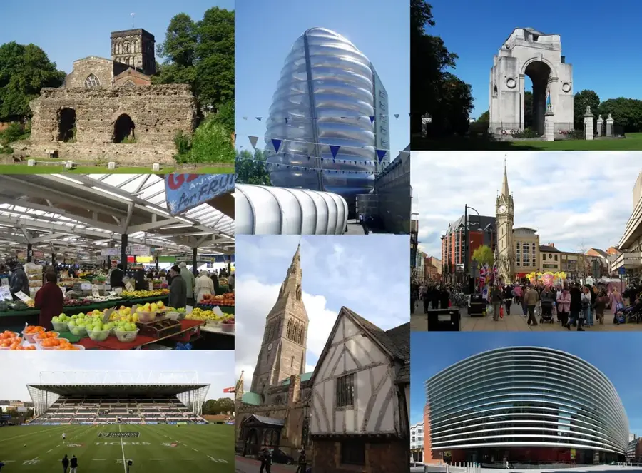
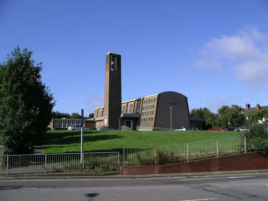
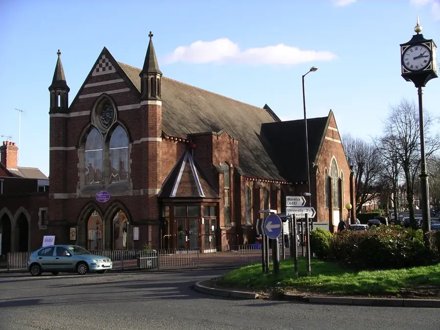
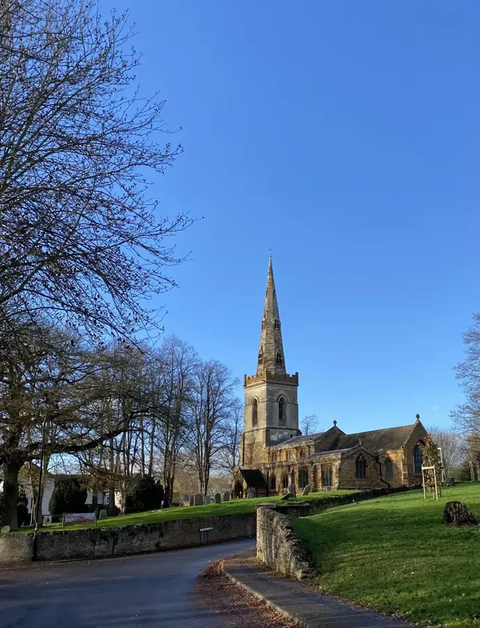
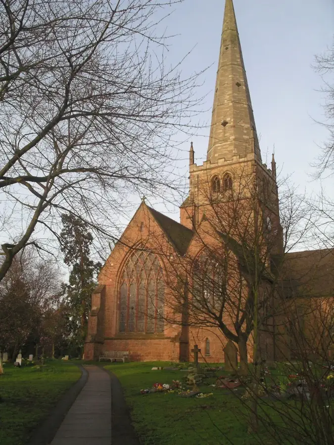
- Top sights: St Andrew's Church · Stafford Leys Park · Kirby Muxloe Castle
- Nearby: Groby (4 km)
- Population: ~7.427
Best time to visit & climate
The most pleasant time to visit is Jun–Aug.
| Jan | Feb | Mar | Apr | May | Jun | Jul | Aug | Sep | Oct | Nov | Dec | |
|---|---|---|---|---|---|---|---|---|---|---|---|---|
| Avg °C | 4 | 4 | 6 | 8 | 12 | 15 | 17 | 16 | 14 | 10 | 7 | 4 |
| Rain mm | 63 | 52 | 51 | 46 | 60 | 66 | 72 | 73 | 51 | 76 | 70 | 68 |
Geography
Facts
- The M1 service station opened on 15 May 1966.
- The bridge restaurant was designed by architect Sir Owen Williams.
- Estimated population of 7,427 residents.
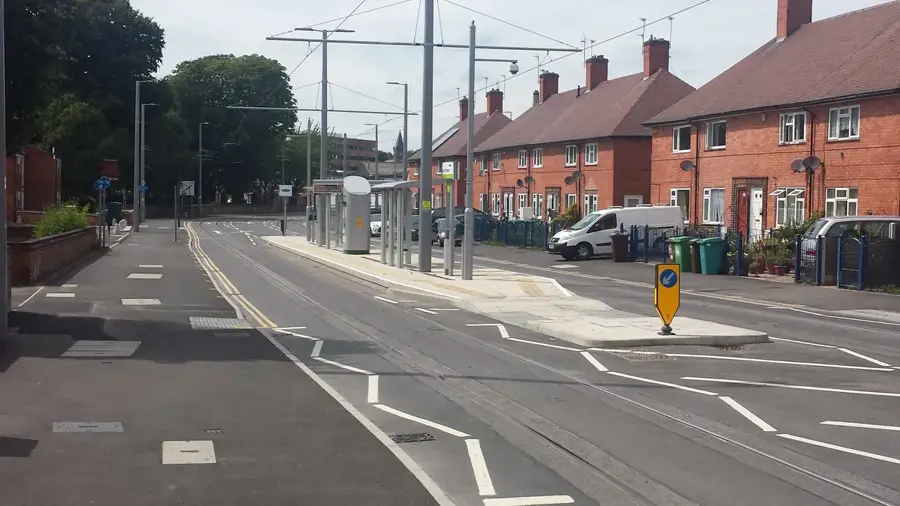
- Primary access is via the A47 Hinckley Road.
- Part of the Blaby District in Leicestershire.
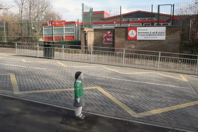
- Stafford Leys Community Primary School is the main local school.
Explore nearby
Notable places around
Route planner — Car & Motorhome
Where do you start? We build the route here, with stops and country notes along the way.
© OpenStreetMap contributors · OpenRouteService
Sights in the town Leicester Forest East (10)
Frequently asked questions
What is Leicester Forest East?
Are there forested areas?
How is the connection to Leicester?
Is there good shopping?
Is it worth staying here?
Leicester Forest East: where is it located?
Leicester Forest East: what is there to see?
Leicester Forest East: when is the best time to visit?
Leicester Forest East: why is it worth visiting?

Nearby cities