Plizio Visual Lab
Bettws
ℹ️Practical info — Bettws
▾
🌤 Weather — 5 days
📍 Nearby
Sights nearby
💡 Tips
- Bettws was built in the 1960s with a distinct layout; keep a map handy as the winding streets and cul-de-sacs can be confusing.
- Buses to Newport city centre are frequent and reliable, making it the best way to travel without a car.
- There is a strong sense of community here, with local shops clustered together serving the neighbourhood.
- The area is close to the M4 motorway, providing quick access if you are planning day trips further afield in Wales.
🍽 Food
Look for a local bakery to try these traditional flatbreads, best eaten warm and dusted with sugar.
The local shopping area usually has a reliable chippy for a quick and filling dinner.
Check out a neighbourhood pub for generous portions of comfort food and a friendly pint.
🛍 Shopping · 🧘 Quiet spots
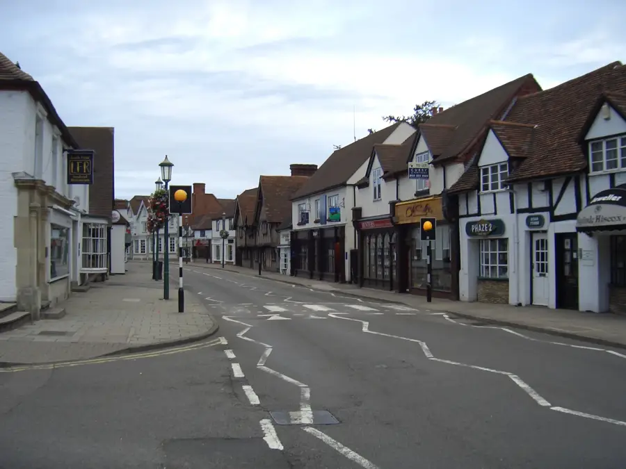
The central hub of the estate where you can find basic groceries, a pharmacy, and local services.
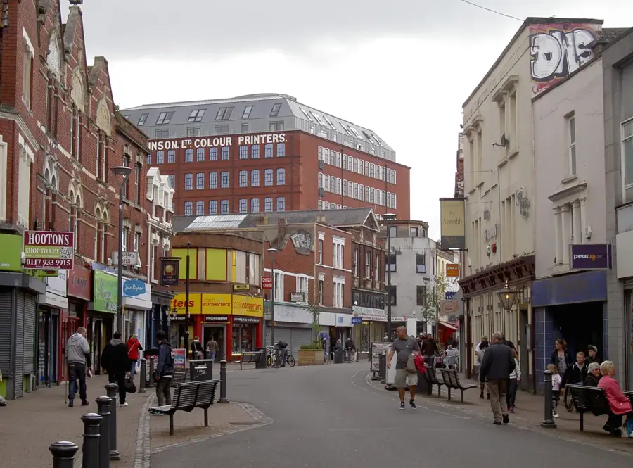
Take a short bus ride into the city centre to explore the historic indoor market for local produce.
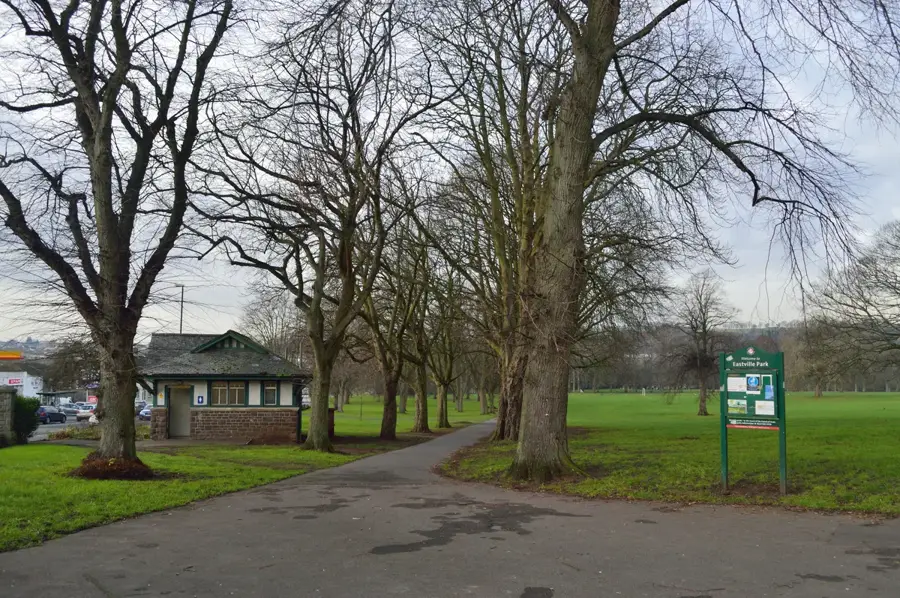
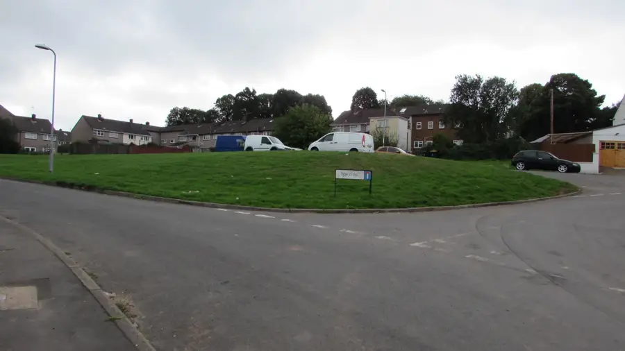
Take a stroll along the brook that runs through the estate for a moment of nature.
Located just a short drive or walk away, this photogenic canal centre is great for a peaceful walk.
Water temperature…
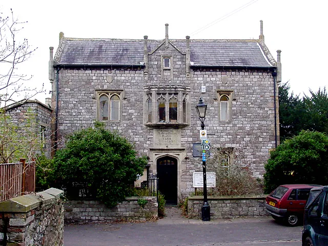
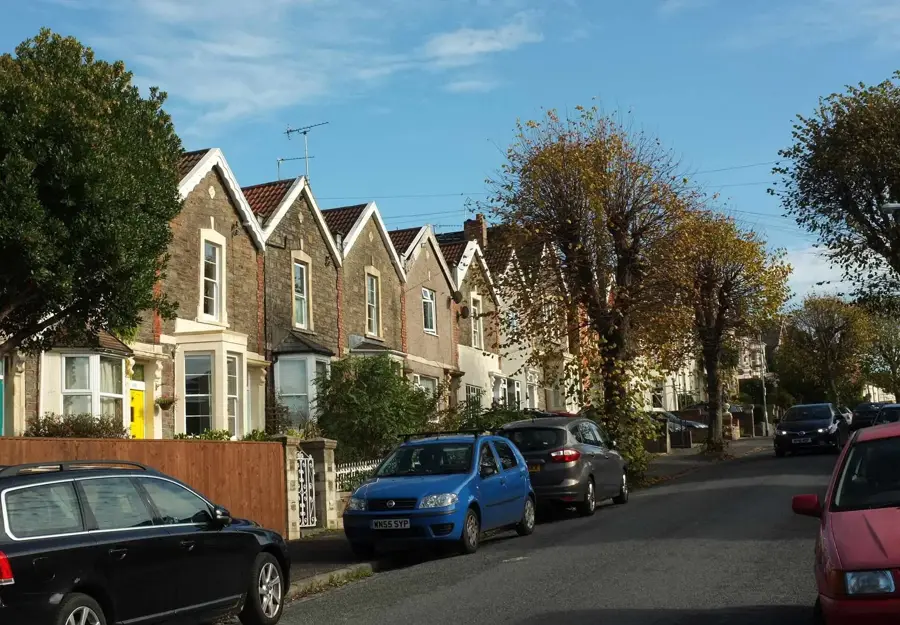
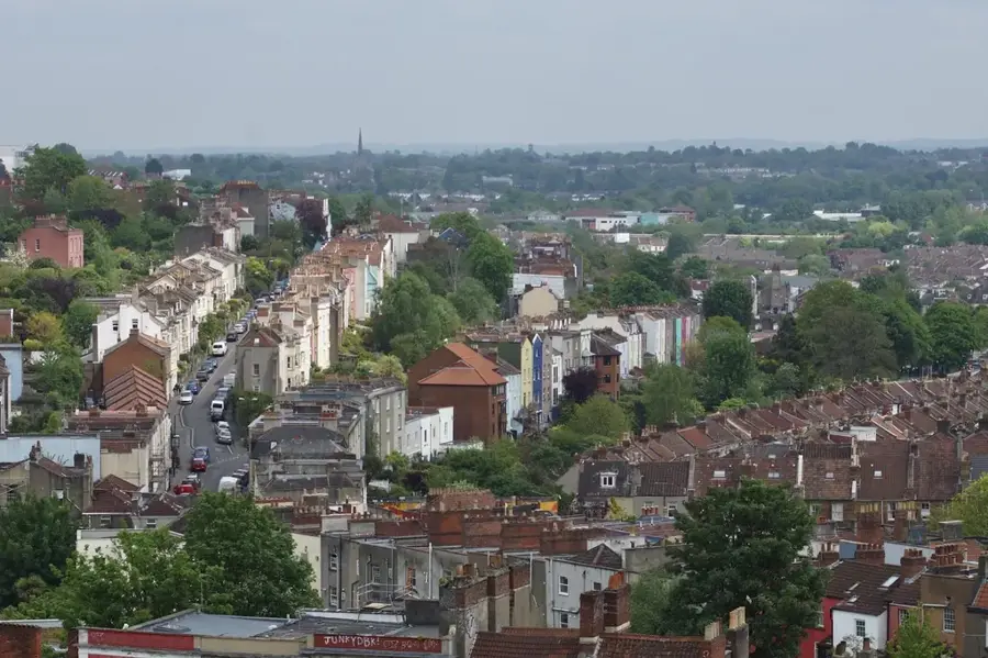
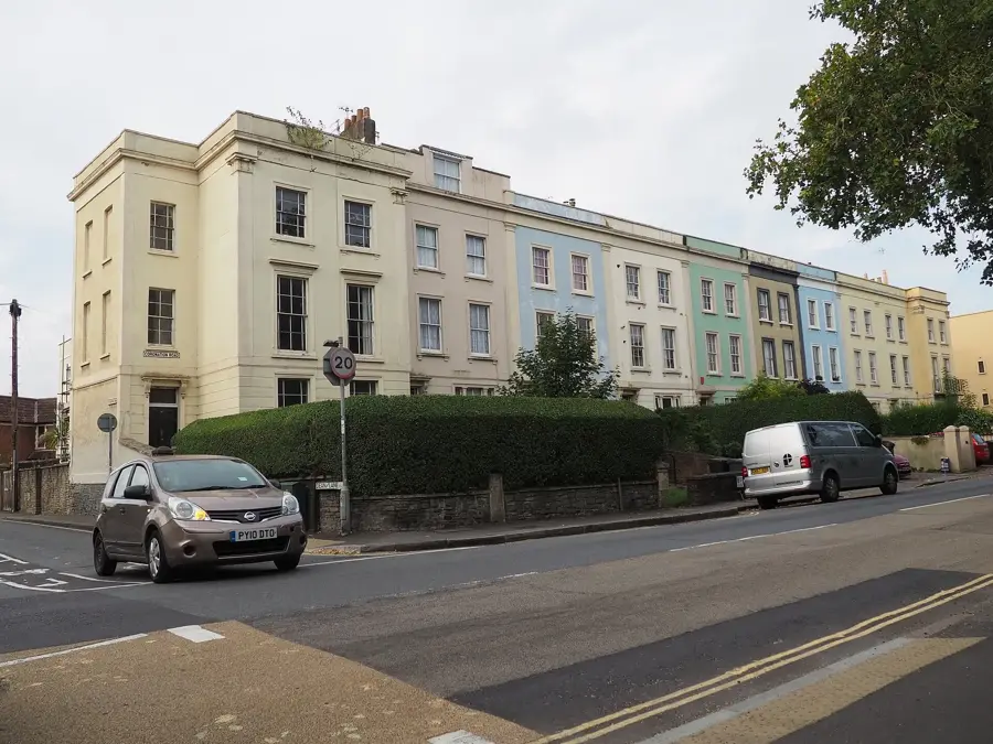
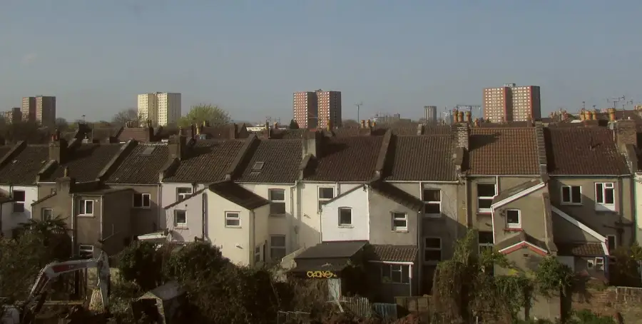
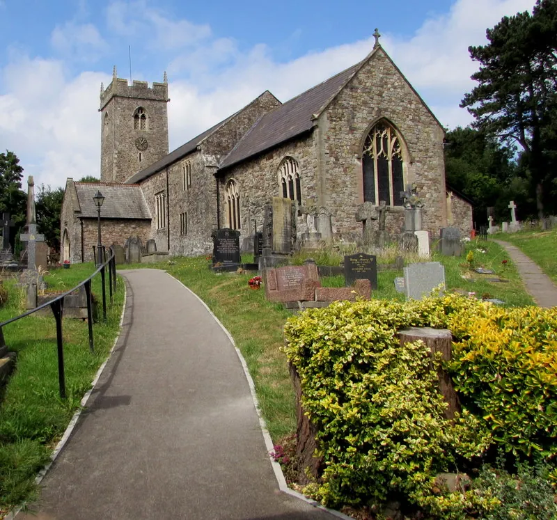
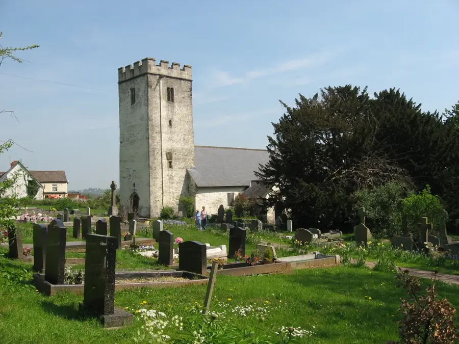
Bettws is a large housing estate and electoral ward located in the northern part of the city of Newport, South Wales. The area’s modern identity was forged in the 1960s when it was developed as one of the largest and most ambitious social housing projects in Wales, intended to rehouse residents from older urban districts. The layout of Bettws was inspired by the principles of the 'Radburn' system, emphasizing green spaces, pedestrian-friendly pathways, and the separation of vehicular traffic. Historically, the name 'Bettws' refers to a chapel or house of prayer, and the district still contains the historic 12th-century St David's Church, a Grade II listed building that serves as a reminder of the area's rural beginnings. The estate is situated in a scenic valley through which the Malpas Brook flows, providing a natural habitat and scenic backdrop for the residential blocks. Today, Bettws is home to a diverse population and features a comprehensive range of amenities, including Newport High School, local shopping centers, and various leisure facilities, all while being bordered by the beautiful rolling hills of the Welsh countryside.
- Location: United Kingdom, United Kingdom
- Top sights: St. David's Church · Bettws Brook · Newport Canal
- Nearby: Gaer (4 km)
- Population: ~8.296
Best time to visit & climate
The most pleasant time to visit is Jul–Sep.
| Jan | Feb | Mar | Apr | May | Jun | Jul | Aug | Sep | Oct | Nov | Dec | |
|---|---|---|---|---|---|---|---|---|---|---|---|---|
| Avg °C | 5 | 5 | 6 | 9 | 12 | 15 | 16 | 16 | 14 | 11 | 8 | 6 |
| Rain mm | 94 | 74 | 70 | 56 | 67 | 72 | 80 | 84 | 63 | 100 | 103 | 104 |
Geography
Facts
- Located within the city limits of Newport, South Wales
- Developed as a planned estate starting in the early 1960s
- The name 'Bettws' means 'bead-house' or 'chapel' in Welsh
- St David's Church is a historic 12th-century structure
- Home to the modern Newport High School campus
- Population recorded as 8,296 in the 2011 census
Explore nearby
Notable places around
Route planner — Car & Motorhome
Where do you start? We build the route here, with stops and country notes along the way.
© OpenStreetMap contributors · OpenRouteService
Sights in the town Bettws (11)
Frequently asked questions
How do I get to Bettws from Newport?
Are there green spaces in Bettws?
Is Bettws family-friendly?
When is the best time to visit Bettws?
Are there local shops in Bettws?
Bettws: where is it located?
Bettws: what is there to see?
Bettws: when is the best time to visit?
Bettws: why is it worth visiting?

Nearby cities