Plizio Visual Lab
Sakarya River
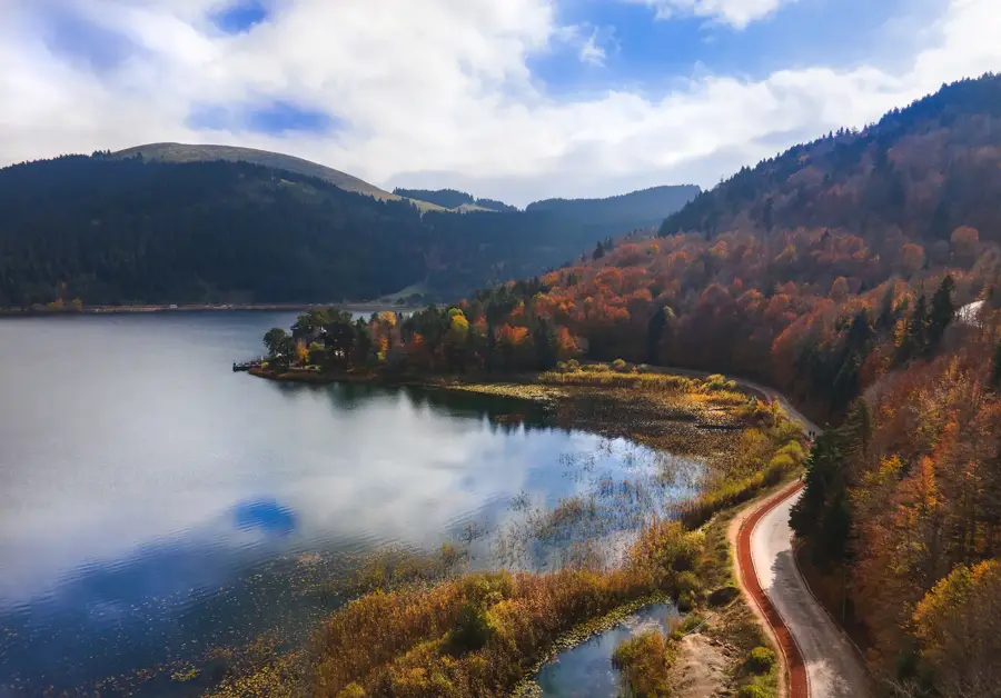
The Sakarya River, stretching 824 kilometers, is the third-longest river in Turkey and a vital waterway in the northwestern part of the country. It originates in the Bayat highlands of Afyonkarahisar Province and flows into the Black Sea at the Karasu district. The river's drainage basin spans approximately 58,160 square kilometers, covering parts of several provinces including Eskişehir, Bilecik, and Sakarya. Historically, the river is most famous for the Battle of Sakarya in 1921, which served as a decisive turning point in the Turkish War of Independence. The river's path is marked by extensive meandering and the presence of numerous hydroelectric power plants that contribute significantly to the national grid. The fertile alluvial soils along its lower reaches support intensive agriculture, particularly the production of grains, fruits, and vegetables, making it an essential agricultural hub.
- Location: Turkey
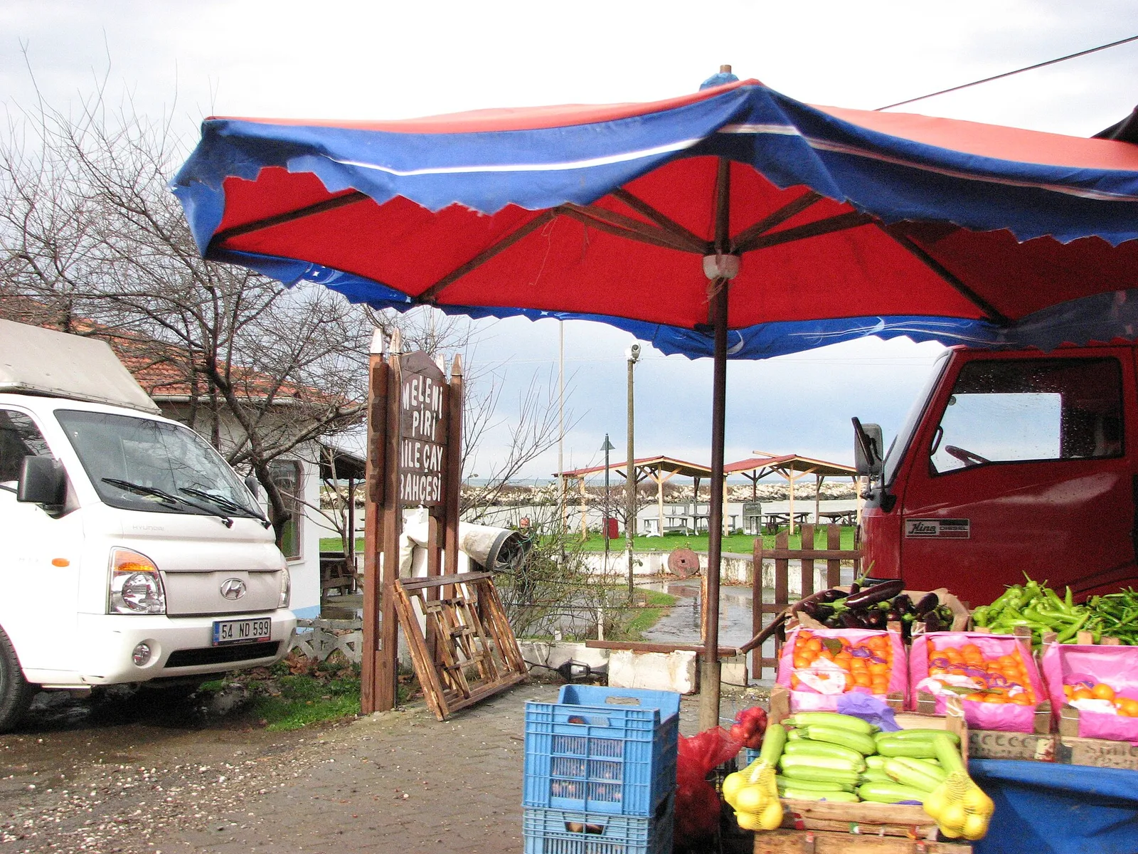
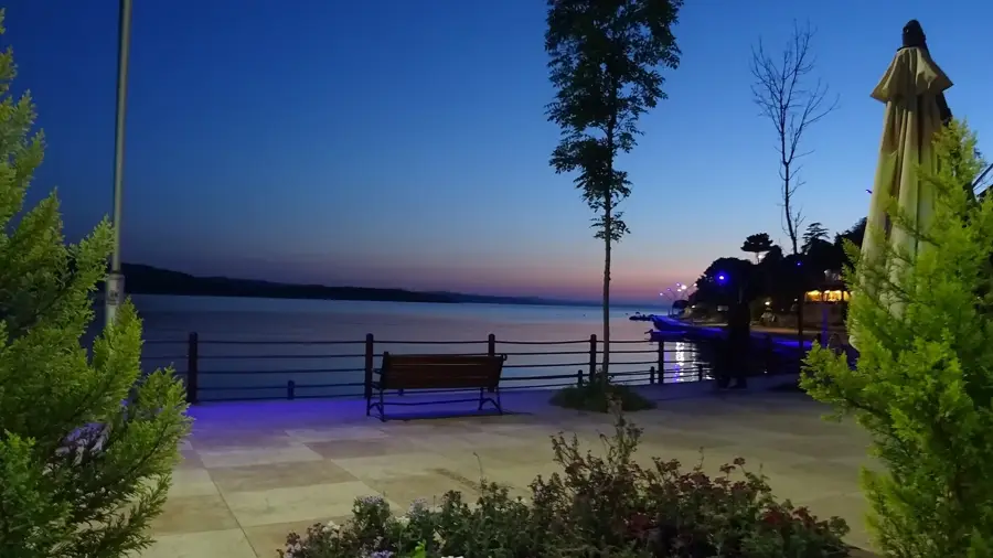
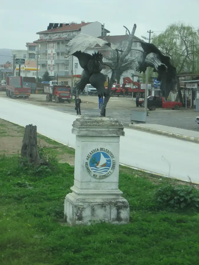
- Top sights: Go-Kart Karasu · karasu lunaparkı
- Nearby: Hasançavuş (40 km)
Best time to visit & climate
The most pleasant time to visit is Jun, Jul, Sep.
| Jan | Feb | Mar | Apr | May | Jun | Jul | Aug | Sep | Oct | Nov | Dec | |
|---|---|---|---|---|---|---|---|---|---|---|---|---|
| Avg °C | 5 | 6 | 8 | 12 | 17 | 21 | 24 | 24 | 21 | 16 | 11 | 7 |
| Rain mm | 86 | 66 | 65 | 47 | 50 | 61 | 33 | 36 | 54 | 70 | 64 | 92 |
📋 Practical info
Geography
Facts
- The Sakarya River has a total length of 824 kilometers.
- Its drainage basin covers approximately 58,160 square kilometers.
- The Battle of Sakarya took place from August 23 to September 13, 1921.
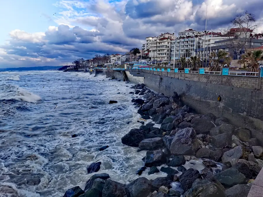
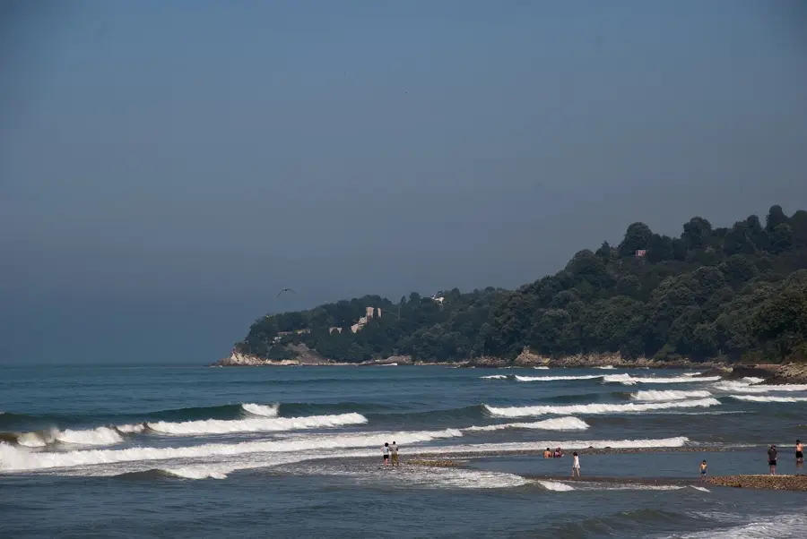
- The river discharges into the Black Sea at the Karasu district.
- Key tributaries include the Porsuk Çayı and Ankara Çayı.
- Dams such as Sarıyar and Gökçekaya are located along its course.
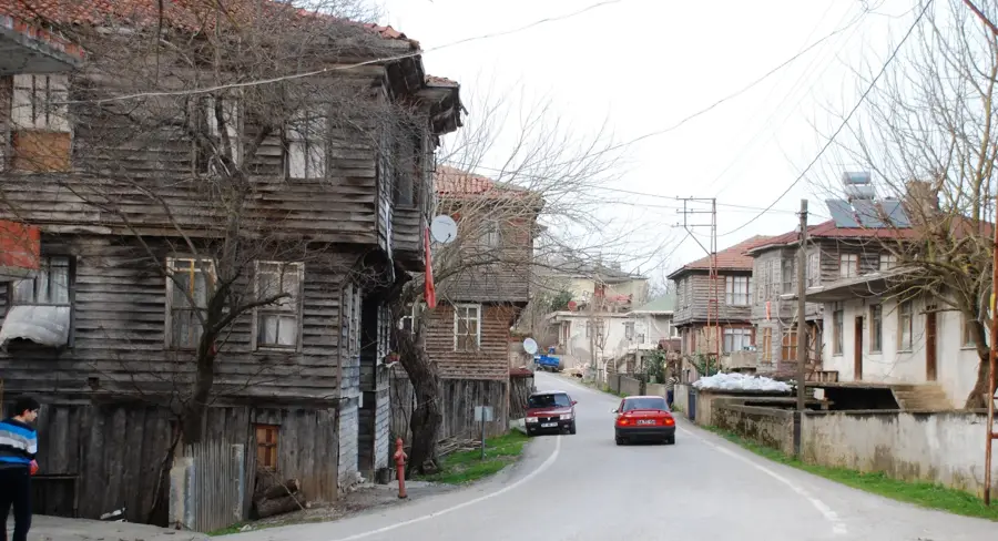
Explore nearby
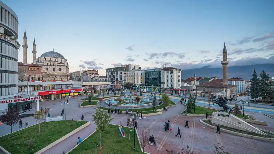
Notable places around
Route planner — Car & Motorhome
Where do you start? We build the route here, with stops and country notes along the way.
© OpenStreetMap contributors · OpenRouteService
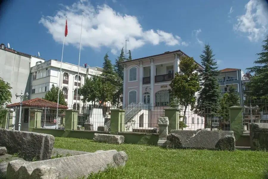
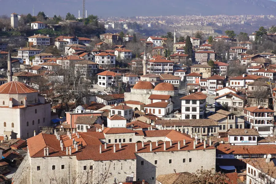
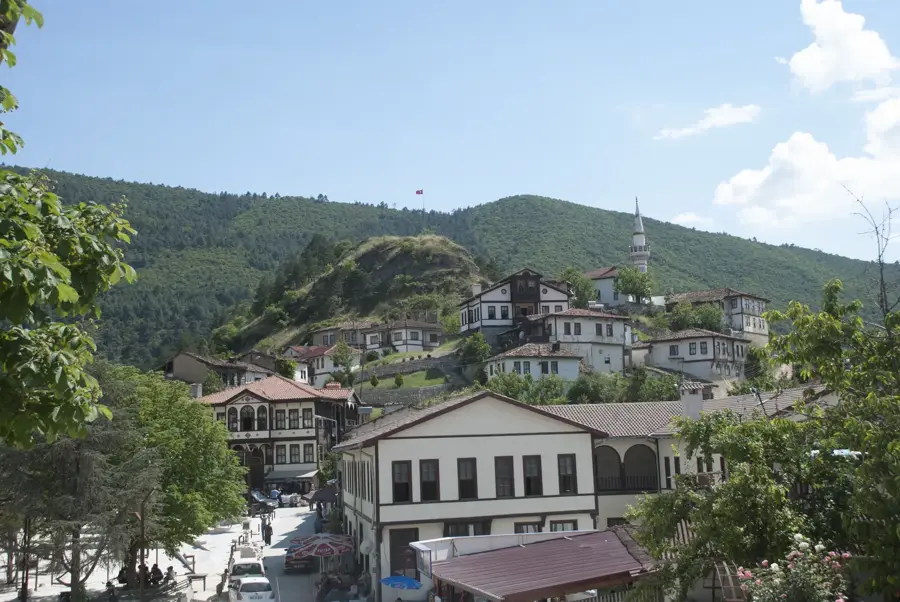
Sights in the town Sakarya River (2)
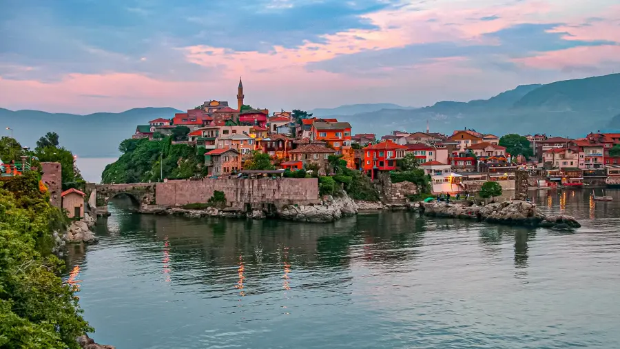
Sights nearby
Frequently asked questions
Where does the Sakarya River flow?
Can you fish there?
Are there nature trails?
Is a family trip possible?
What is the best season?
Sakarya River: where is it located?
Sakarya River: what is there to see?
Sakarya River: when is the best time to visit?
Sakarya River: why is it worth visiting?

Nearby cities