Plizio Visual Lab
Mount Erciyes

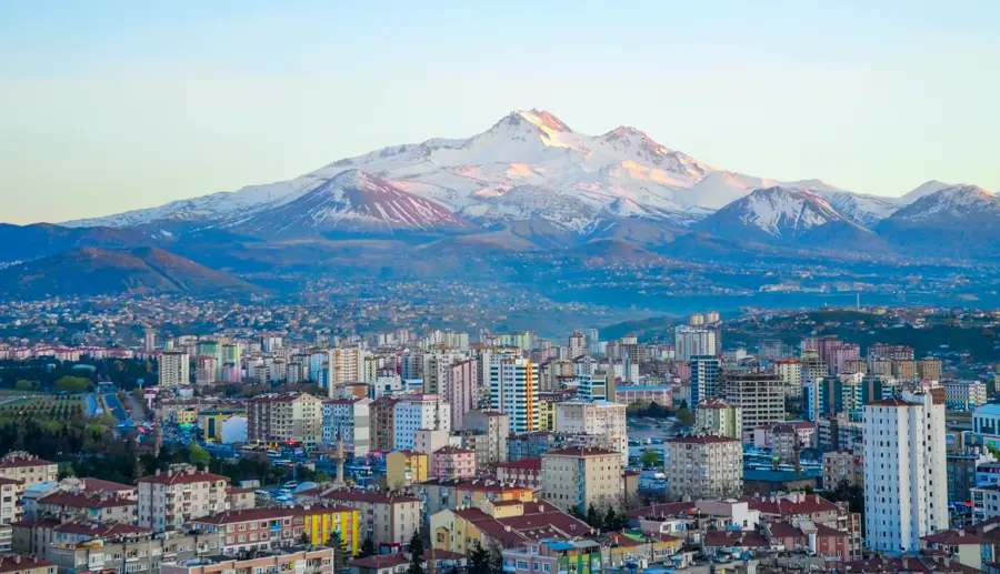
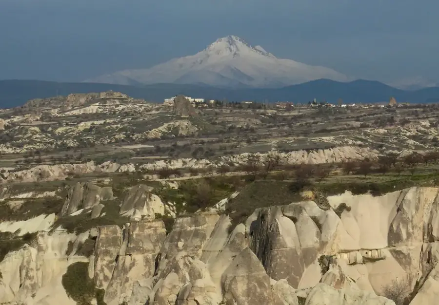
Mount Erciyes is a massive stratovolcano located in Central Anatolia, standing as the highest peak in the region with an elevation of 3,917 meters. Formed during the Quaternary period, the mountain is characterized by its heavily eroded slopes and several parasitic cones that reflect its complex volcanic history. In antiquity, it was known as Mount Argaeus and was depicted on ancient coins, symbolizing the divine significance of the peak for the people of Cappadocia. The upper reaches of the mountain host permanent glaciers, which are a rare feature in this part of Turkey, providing vital water sources for the surrounding plains. Today, Erciyes is a major hub for winter sports and mountaineering, featuring modern facilities that utilize the consistent snowfall and challenging terrain. The ecological diversity of the mountain includes alpine meadows and endemic plant species that have adapted to the harsh high-altitude climate.
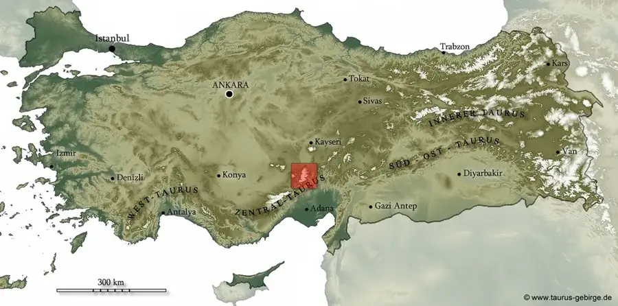
- Location: Turkey
- Nearby: Kayseri (18 km)
Best time to visit & climate
The most pleasant time to visit is Jul–Sep.
| Jan | Feb | Mar | Apr | May | Jun | Jul | Aug | Sep | Oct | Nov | Dec | |
|---|---|---|---|---|---|---|---|---|---|---|---|---|
| Avg °C | -3 | -1 | 3 | 8 | 13 | 17 | 20 | 21 | 17 | 11 | 4 | -1 |
| Rain mm | 45 | 38 | 46 | 41 | 47 | 28 | 11 | 6 | 14 | 26 | 32 | 40 |
📋 Practical info
Geography
Facts
- Highest peak in Central Anatolia at 3,917 meters.
- Extinct stratovolcano formed during the Quaternary.
- Hosts permanent glaciers on its upper slopes.
- Known as Mount Argaeus in ancient Greek sources.
- Last activity likely occurred around 253 BC.
- Major center for international skiing competitions.
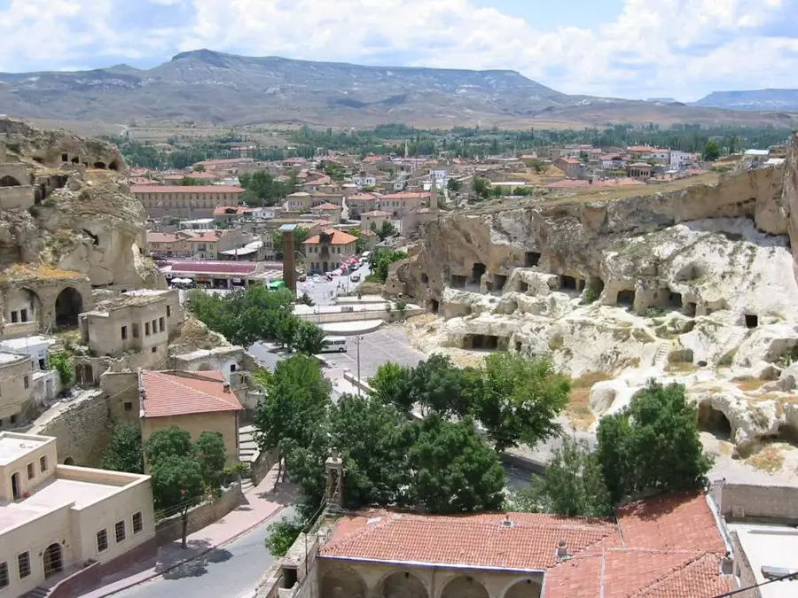
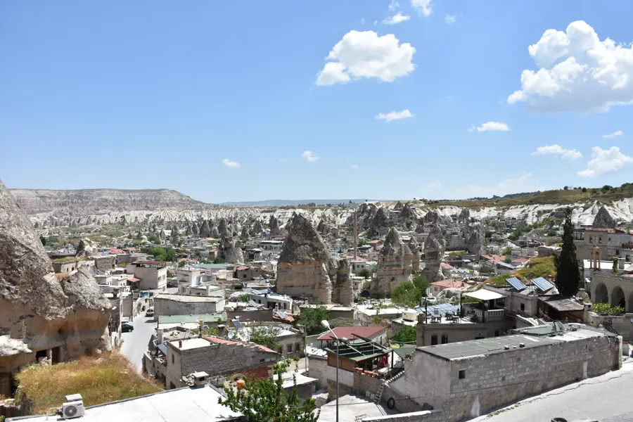
Explore nearby
Notable places around
Route planner — Car & Motorhome
Where do you start? We build the route here, with stops and country notes along the way.
© OpenStreetMap contributors · OpenRouteService
Sights in the town Mount Erciyes (1)
Sights nearby
Frequently asked questions
Is Mount Erciyes a destination for extreme sports?
How is the ski lift equipment?
Are there leisure activities in summer too?
How cold does it get at the summit?
Do you need a visa?
Mount Erciyes: where is it located?
Mount Erciyes: when is the best time to visit?
Mount Erciyes: why is it worth visiting?