Plizio Visual Lab
Tono River
Weather…
Water temperature…
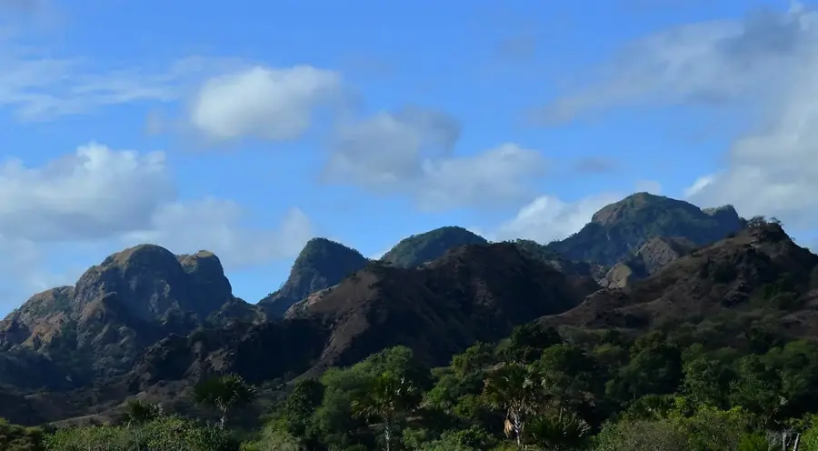
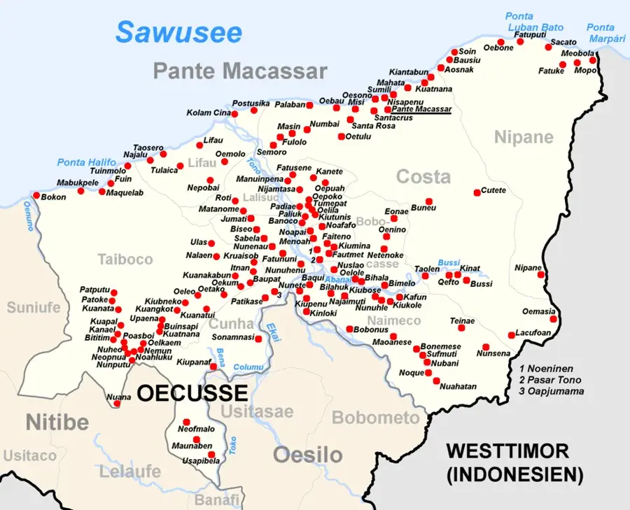
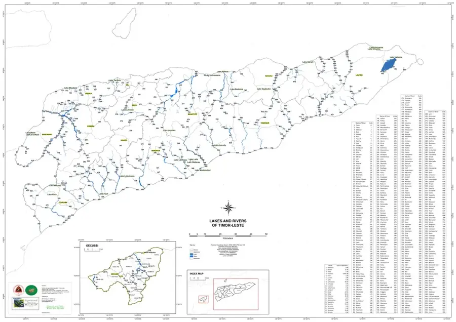
The Tono River is the lifeblood of the Oecusse-Ambeno enclave, a territory of Timor-Leste situated within Indonesian West Timor. It originates in the enclave's central highlands and flows northward through fertile valleys before emptying into the Savu Sea west of the capital, Pante Macassar. The Tono is known for its wide riverbed and extreme seasonal variability: during the dry season, it often reduces to isolated pools, but in the rainy season, it transforms into a powerful torrent that can cut off road transport in the region. The river valley is Oecusse's primary agricultural hub, where the 'Tono Irrigation System' supports extensive rice and crop cultivation. Ecologically, the river is vital for maintaining local biodiversity and providing water for livestock. In 2017, the completion of the Noefefan Bridge, a monumental infrastructure project, ensured year-round connectivity between the riverbanks and ended the historical isolation of the enclave's western areas.
- Location: Timor-Leste
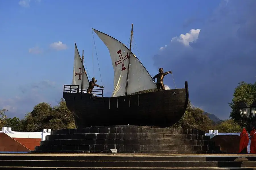
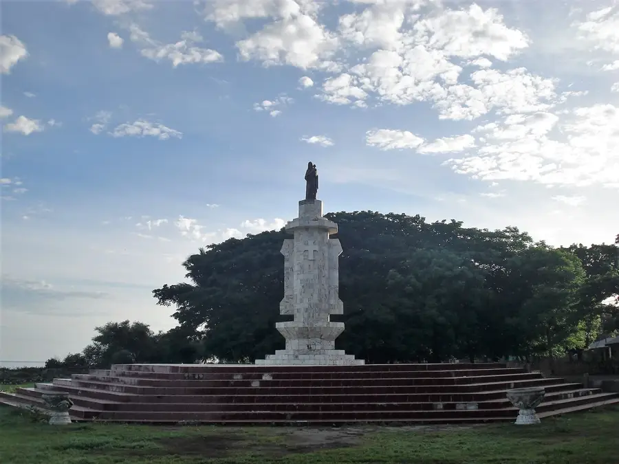
- Top sights: Praia · Igreja São Miguel Arcanjo de Padiae · Kapela Sao Jose Operario Padiae
- Nearby: Poasbot (6 km)
Best time to visit & climate
The most pleasant time to visit is Jun–Aug.
| Jan | Feb | Mar | Apr | May | Jun | Jul | Aug | Sep | Oct | Nov | Dec | |
|---|---|---|---|---|---|---|---|---|---|---|---|---|
| Avg °C | 24 | 24 | 24 | 24 | 24 | 23 | 23 | 23 | 25 | 26 | 27 | 25 |
| Rain mm | 339 | 310 | 199 | 64 | 36 | 16 | 13 | 4 | 7 | 23 | 92 | 264 |
📋 Practical info
Geography
Facts
- The Tono is the largest and most critical river in Oecusse-Ambeno.
- It empties into the Savu Sea to the west of Pante Macassar.
- The Tono Irrigation System supports over 1,000 hectares of rice fields.
- The 380-meter Noefefan Bridge has spanned the river since 2017.
- Large sections of the riverbed dry up completely during the dry season.
- The river valley is the primary source of food for the enclave's population.
Explore nearby
Notable places around
Route planner — Car & Motorhome
Where do you start? We build the route here, with stops and country notes along the way.
© OpenStreetMap contributors · OpenRouteService
Sights in the town Tono River (3)
Sights nearby
Frequently asked questions
Is the Tono River easily accessible?
Are there hiking trails along the Tono?
Can you camp wildly there?
Is the water safe to drink?
What is the best season?
Tono River: where is it located?
Tono River: what is there to see?
Tono River: when is the best time to visit?
Tono River: why is it worth visiting?

Nearby cities
More places