Plizio Visual Lab
Zalingei
ℹ️Practical info — Zalingei
▾
🌤 Weather — 5 days
📍 Nearby
Sights nearby
💡 Tips
- Travel to this region often requires special permits; verify the current security situation and paperwork before arriving.
- The climate is very hot during the day, so plan outdoor activities for early morning or late afternoon.
- Cash is king here; ATMs may be scarce or unreliable.
- The local markets are lively but can be dusty, so a scarf to cover your face is useful.
- Respect local customs and ask for permission before taking photos of people.
🍽 Food
A savory porridge and Sudanese staple dish best eaten at local food stalls.
A classic fava bean stew breakfast found in small eateries around the market.
A traditional flatbread often served with hearty stews at community dining spots.
🛍 Shopping · 🧘 Quiet spots
The hub for daily goods, agricultural products, and spirited local life.
Look for colorful woven baskets crafted by local artisans.
Available in bulk from specialized vendors in the market center.
The seasonal riverbed provides a relatively peaceful natural setting outside the dusty center.
A calmer, more structured environment suitable for a quiet walk.
Water temperature…
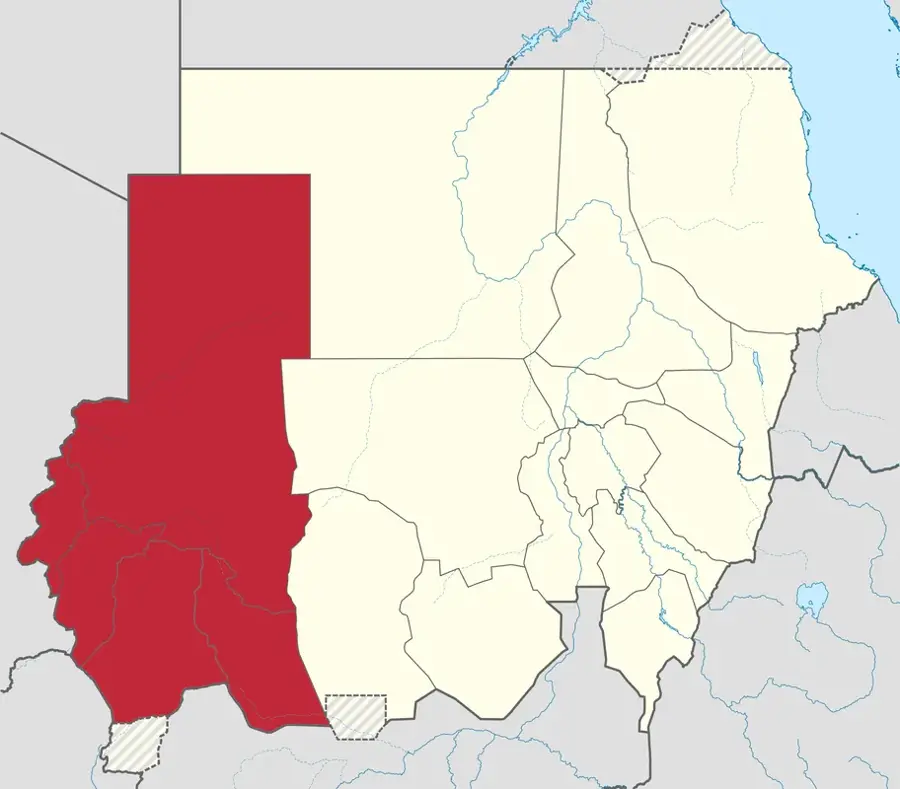
Zalingei, the capital of Central Darfur State in western Sudan, is strategically located at the western foothills of the Jebel Marra mountain range. Its geography is characterized by fertile alluvial valleys and seasonal rivers (wadis) that support a thriving agricultural sector, making it one of the few places in Darfur capable of large-scale fruit production, particularly oranges and lemons. Historically, Zalingei is a heartland of the Fur people and has played a vital role in the cultural and political life of the Darfur region for centuries. However, its modern history has been heavily impacted by the Darfur conflict, leading to the establishment of several large internally displaced persons (IDP) camps on its outskirts. Economically, the city serves as a regional trade hub for tobacco, gum arabic, and livestock. The University of Zalingei is a crucial institution for higher education, aiming to foster development and peace through academic discourse. The climate is notably more temperate than in the Nile valley due to its elevation, offering a pleasant environment during the rainy season. The city is a key center for international humanitarian efforts and peacekeeping missions. Culturally, Zalingei remains a bastion of local traditions, with its markets showcasing intricate handicrafts and traditional music. Despite ongoing challenges, Zalingei continues to be a focal point for regional administration and agricultural innovation.
- Location: Sudan
- Population: ~35.061 (2026)
Best time to visit & climate
The most pleasant time to visit is Jan, Nov, Dec.
| Jan | Feb | Mar | Apr | May | Jun | Jul | Aug | Sep | Oct | Nov | Dec | |
|---|---|---|---|---|---|---|---|---|---|---|---|---|
| Avg °C | 23 | 25 | 28 | 29 | 30 | 29 | 25 | 24 | 25 | 26 | 24 | 23 |
| Rain mm | 0 | 0 | 0 | 1 | 14 | 36 | 179 | 237 | 69 | 21 | 0 | 0 |
Geography
Facts
- Capital city of the Central Darfur State.
- Located at an elevation of approximately 900 meters (2,950 feet).
- Famous for its citrus groves and high-quality tobacco.
- Home to the University of Zalingei, founded in 1994.
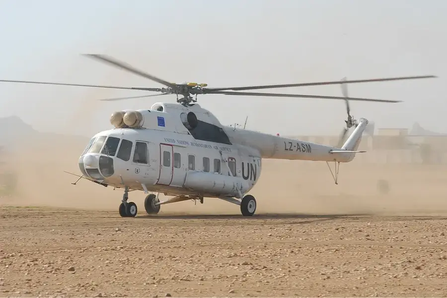
- Key logistical hub for humanitarian aid in the region.
- Positioned at the western base of the Jebel Marra mountains.
- Historically a significant center for the Fur Sultanate.
- Climate is semi-arid but moderated by altitude.
Explore nearby
Notable places around
Route planner — Car & Motorhome
Where do you start? We build the route here, with stops and country notes along the way.
© OpenStreetMap contributors · OpenRouteService
Sights in the town Zalingei (1)
Frequently asked questions
What makes Zalingei special?
Is Zalingei a tourist town?
What is the best way to travel?
What is the local cuisine like?
Which season is ideal?
Zalingei: where is it located?
Zalingei: when is the best time to visit?
Zalingei: why is it worth visiting?