Plizio Visual Lab
Jebel Kunur

Weather…
Water temperature…
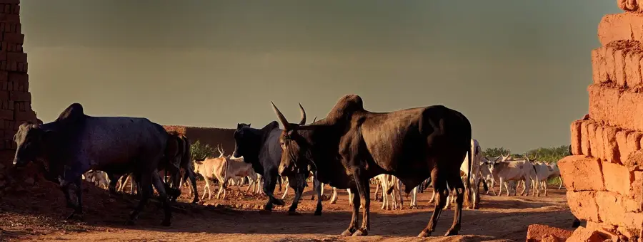
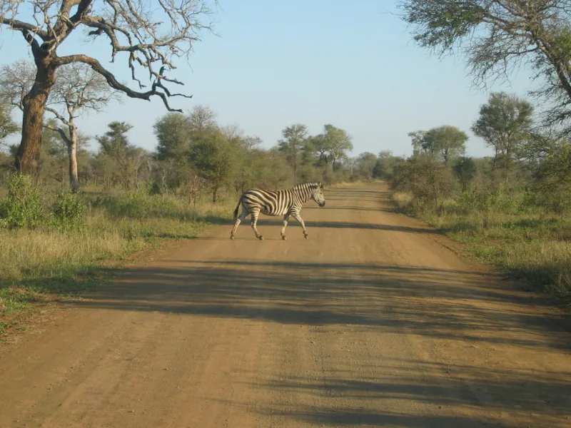
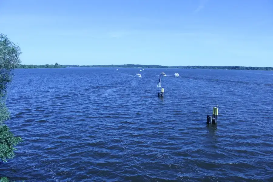
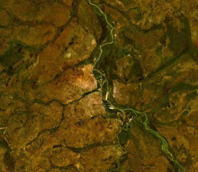
Jebel Kunur is a prominent hill formation located on the eastern bank of the White Nile, near South Sudan's capital city, Juba. The hill is part of a series of granite formations that punctuate the vast Equatorian plains, belonging geologically to the ancient Precambrian basement complex. Reaching an elevation of approximately 580 meters, Jebel Kunur provides a strategic vantage point overlooking the river's course and the surrounding savanna landscape. The vegetation is characterized by dry scrubland and scattered acacias, well-adapted to the seasonal dry spells of the region. Historically and strategically, the hill has played a role in monitoring Nile river navigation and served as a significant landmark for travelers in the Juba area. Today, the site is recognized for its geological features and as a potential location for local hiking and recreation. The metamorphic rocks of the hill testify to the long geological history of the African continent, contrasting sharply with the sedimentary deposits of the Nile basin.
Best time to visit & climate
The most pleasant time to visit is Jan, Nov, Dec.
| Jan | Feb | Mar | Apr | May | Jun | Jul | Aug | Sep | Oct | Nov | Dec | |
|---|---|---|---|---|---|---|---|---|---|---|---|---|
| Avg °C | 25 | 28 | 30 | 30 | 29 | 26 | 24 | 24 | 24 | 25 | 24 | 24 |
| Rain mm | 1 | 2 | 14 | 36 | 120 | 148 | 186 | 233 | 190 | 105 | 8 | 0 |
📋 Practical info
Geography
Facts
- Jebel Kunur stands at an elevation of approximately 580 meters.
- It is situated on the eastern bank of the White Nile near Juba.
- The hill is primarily composed of ancient Precambrian granite.
- It serves as a key geographical landmark for river travelers.
- The surrounding area is dominated by dry savanna and acacia trees.
- Geologically, it is an 'inselberg' formed by long-term erosion.
Explore nearby
Notable places around
Route planner — Car & Motorhome
Where do you start? We build the route here, with stops and country notes along the way.
© OpenStreetMap contributors · OpenRouteService
Sights nearby
Frequently asked questions
Do I need a guide for Jebel Kunur?
How much time should I plan?
Are there drinking water sources on the trail?
Is Jebel Kunur accessible in summer?
Are there wild animals?
Jebel Kunur: where is it located?
Jebel Kunur: when is the best time to visit?
Jebel Kunur: why is it worth visiting?

Nearby cities
History & landmarks

Nature
More places