Plizio Visual Lab
Pulau Ubin
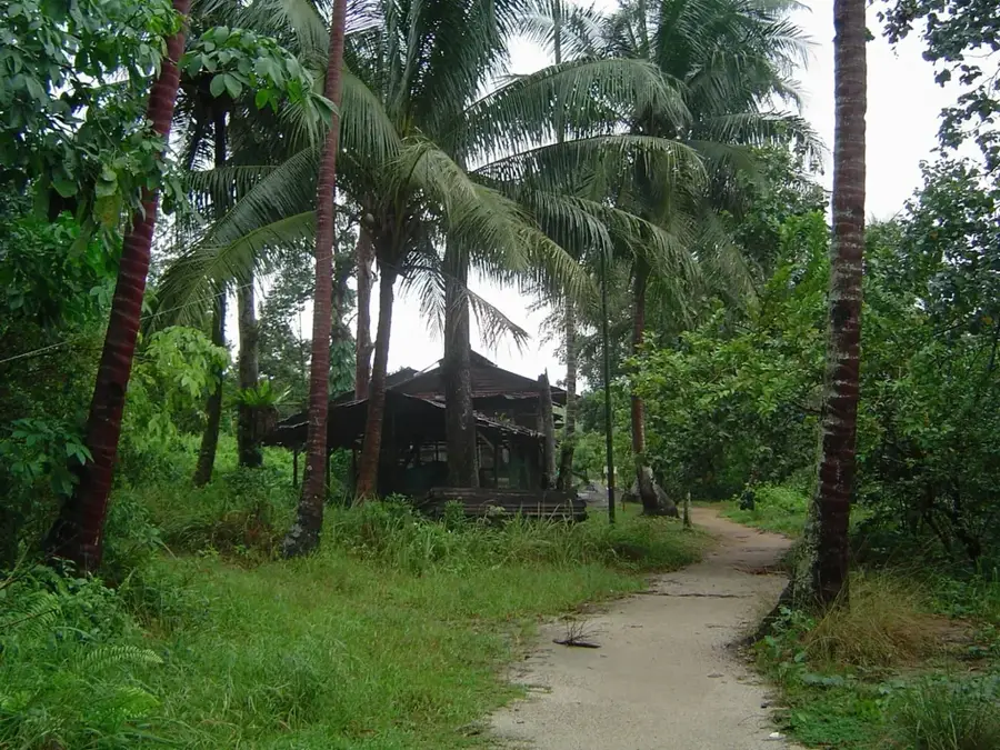
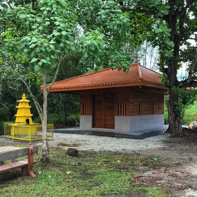
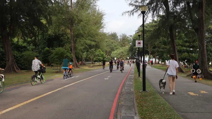
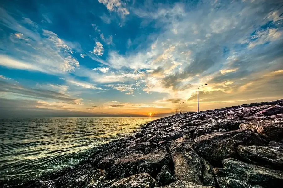
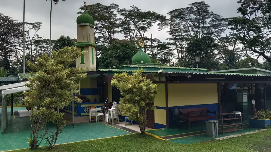
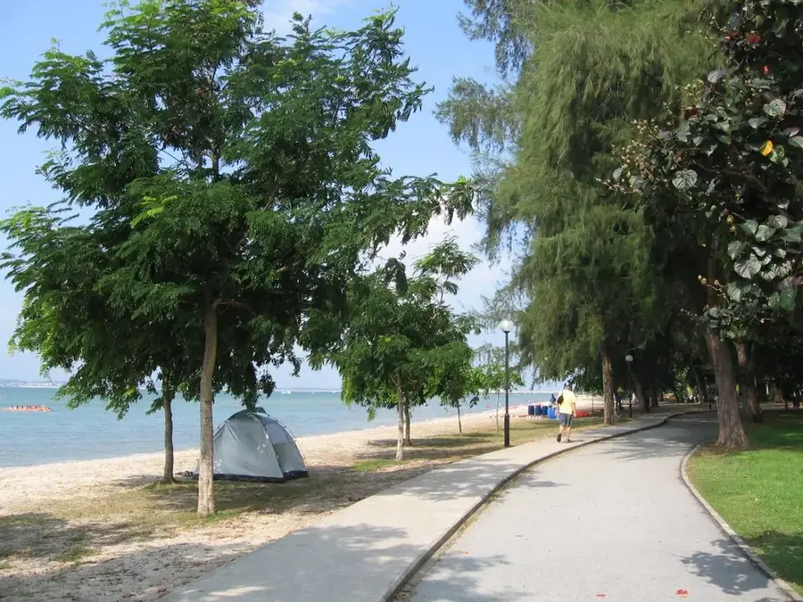
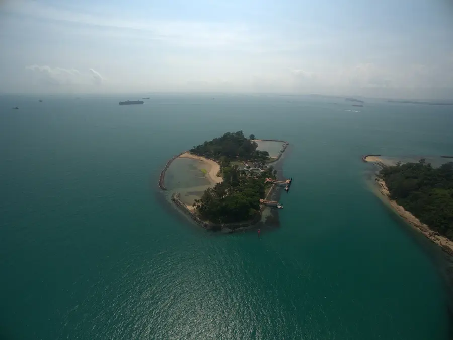
Pulau Ubin is a small island located off Singapore's northeastern coast, widely cherished as the nation's last remaining 'kampong' (traditional village) that has resisted the rapid modernization of the mainland. The island is renowned for its laid-back atmosphere, rustic dirt tracks, and historic wooden houses, offering a nostalgic glimpse into Singaporean life as it was in the 1960s. Historically, the island served as a major center for granite quarrying, a heritage reflected in its name, 'Ubin' translates to 'granite tile' in Malay. Today, Pulau Ubin is a sanctuary for nature enthusiasts and adventure seekers who typically explore the rugged terrain via rental bicycles. A significant highlight is the Chek Jawa Wetlands on the eastern tip, which hosts one of Singapore's richest marine ecosystems, featuring animated coral reefs, seagrass lagoons, and mangroves. Accessible via a 15-minute bumboat ride from Changi Point Ferry Terminal, the island provides a stark contrast to the city's skyscraper-filled skyline. It stands as a vital living monument to Singapore's environmental and cultural roots.
- Location: Singapore
- Top sights: Puaka Hill · Lonely tree · Nature Gallery
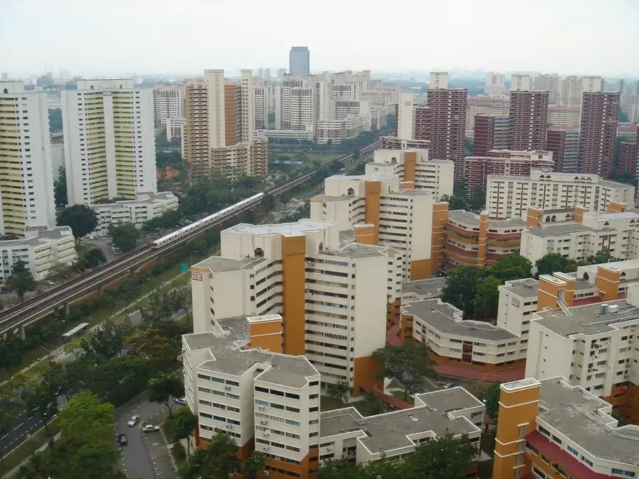
- Nearby: Punggol (6 km)
Best time to visit & climate
The most pleasant time to visit is Feb, Mar, Sep.
| Jan | Feb | Mar | Apr | May | Jun | Jul | Aug | Sep | Oct | Nov | Dec | |
|---|---|---|---|---|---|---|---|---|---|---|---|---|
| Avg °C | 26 | 26 | 27 | 28 | 28 | 28 | 27 | 27 | 27 | 27 | 27 | 26 |
| Rain mm | 235 | 102 | 168 | 193 | 199 | 164 | 174 | 173 | 167 | 210 | 283 | 300 |
📋 Practical info
Geography
Facts
- Pulau Ubin covers a total land area of approximately 10.2 square kilometers.
- The name 'Ubin' is derived from the Malay word for granite tiles.
- The Chek Jawa Wetlands were only identified as a major ecological site in 2000.
- A bumboat ride from Changi Point Ferry Terminal takes roughly 15 minutes.
- The island currently has a resident population of fewer than 40 people.
- Most of the island's granite quarries ceased operations during the 1970s.
Explore nearby
Notable places around
Route planner — Car & Motorhome
Where do you start? We build the route here, with stops and country notes along the way.
© OpenStreetMap contributors · OpenRouteService
Sights in the town Pulau Ubin (7)
Sights nearby
Frequently asked questions
How do I get to Pulau Ubin?
Can I rent bikes?
What can you do on the island?
Is there food available?
Is the island big?
Pulau Ubin: where is it located?
Pulau Ubin: what is there to see?
Pulau Ubin: when is the best time to visit?
Pulau Ubin: why is it worth visiting?

Nearby cities
History & landmarks
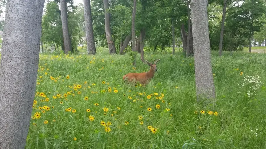
Nature

More places