Plizio Visual Lab
Troumassée River Basin
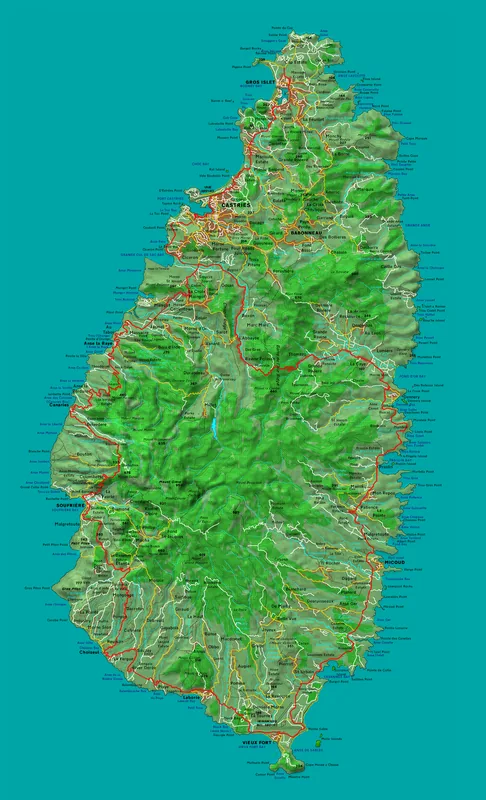
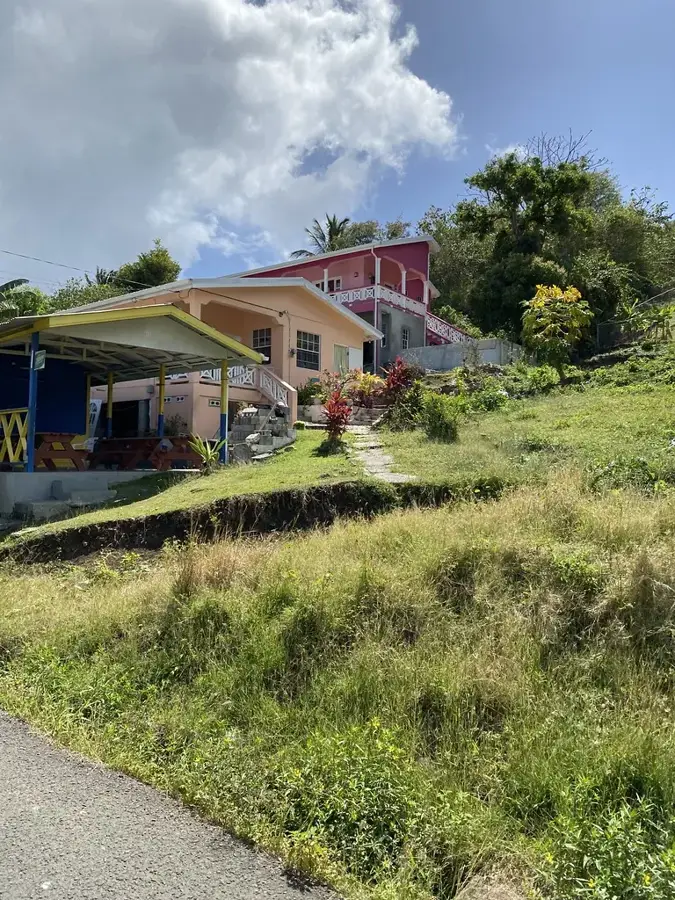
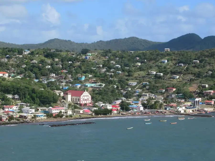
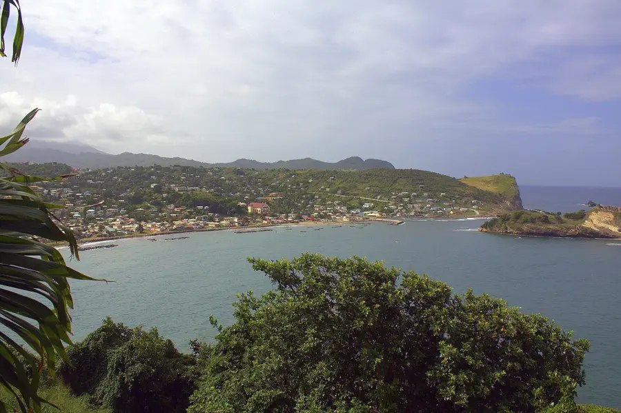
The Troumassée River Basin is a vital hydrological feature of Saint Lucia’s eastern coast, playing a key role in the island's geography and economy. Originating in the central highlands, the Troumassée River carves through a landscape distinguished by wide, terraced alluvial plains. These terraces are the result of long-term sediment deposition, which has bestowed the area near Micoud with remarkably fertile soil. Historically, this basin served as a major hub for large-scale agriculture, particularly for bananas and coconuts, and it continues to be a primary farming region today. The moderate gradient of the basin allows for extensive land use while maintaining a natural drainage system towards the Atlantic. Near the river's mouth, the valley broadens into a coastal plain that supports a diverse range of flora and fauna, making it an essential ecological corridor for the island's eastern seaboard.
- Location: St. Lucia
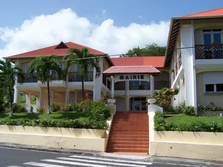
- Top sights: Volet River · Ti Rocher, Micoud · Micoud, Saint Lucia
- Nearby: Dennery South (5 km)
Best time to visit & climate
The most pleasant time to visit is Jan–Mar.
| Jan | Feb | Mar | Apr | May | Jun | Jul | Aug | Sep | Oct | Nov | Dec | |
|---|---|---|---|---|---|---|---|---|---|---|---|---|
| Avg °C | 26 | 26 | 26 | 27 | 28 | 28 | 28 | 28 | 29 | 28 | 28 | 27 |
| Rain mm | 68 | 44 | 48 | 97 | 102 | 136 | 154 | 180 | 182 | 189 | 159 | 85 |
📋 Practical info
Geography
Facts
- The Troumassée is one of the island's longest rivers
- The catchment area covers approximately 30 square kilometers
- Vital source for drinking water and irrigation
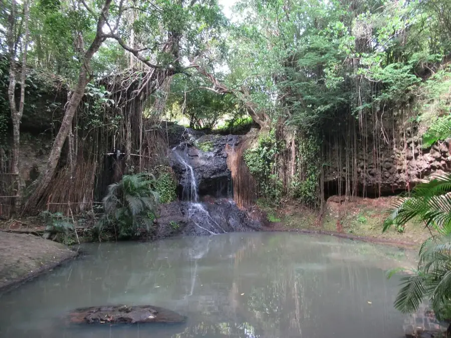
- Home to the Troumassée waterfall
- The estuary area forms an ecologically valuable lagoon
- Prone to soil erosion during heavy rainfall events
Explore nearby
Notable places around
Route planner — Car & Motorhome
Where do you start? We build the route here, with stops and country notes along the way.
© OpenStreetMap contributors · OpenRouteService
Sights in the town Troumassée River Basin (3)
Sights nearby
Frequently asked questions
Where is the Troumassée river basin located?
Are there waterfalls there?
Is the river basin suitable for ecotourism?
Can you go fishing there?
Are there facilities for picnics?
Troumassée River Basin: where is it located?
Troumassée River Basin: what is there to see?
Troumassée River Basin: when is the best time to visit?
Troumassée River Basin: why is it worth visiting?

Nearby cities