Plizio Visual Lab
Mount Sion
Weather…
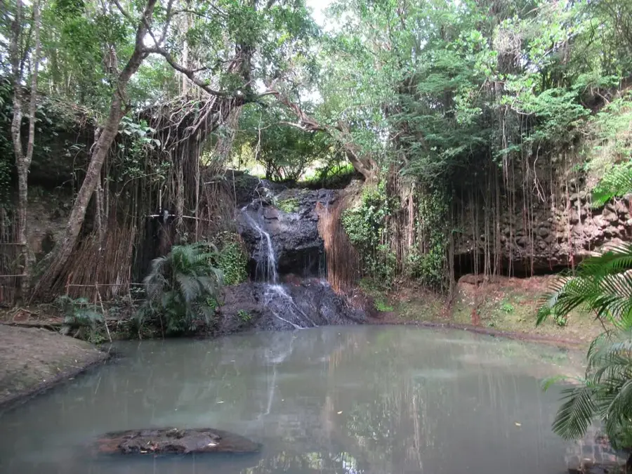
Water temperature…
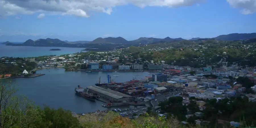
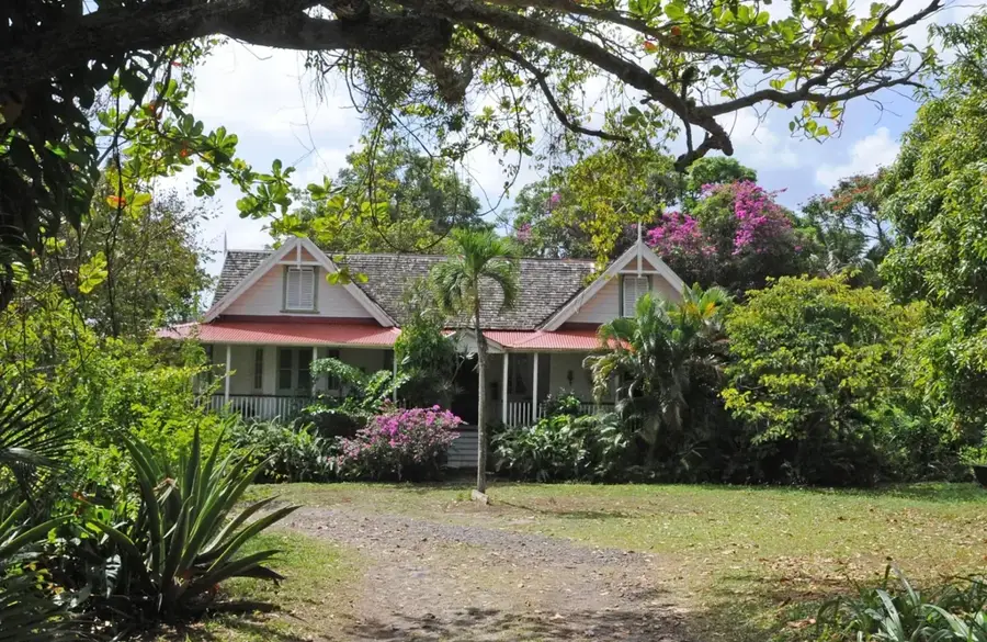
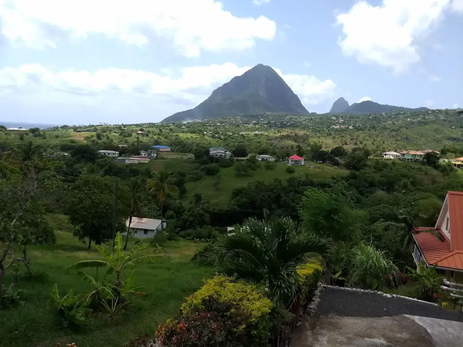
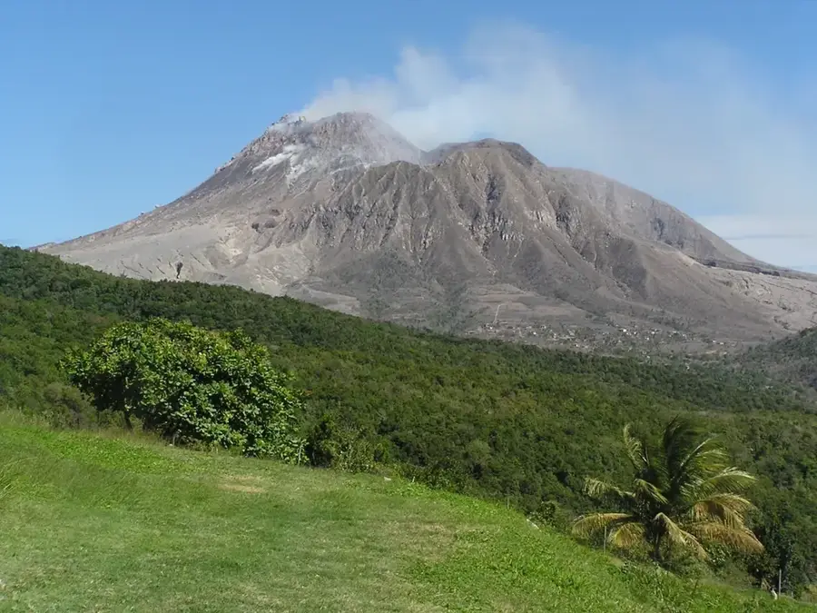
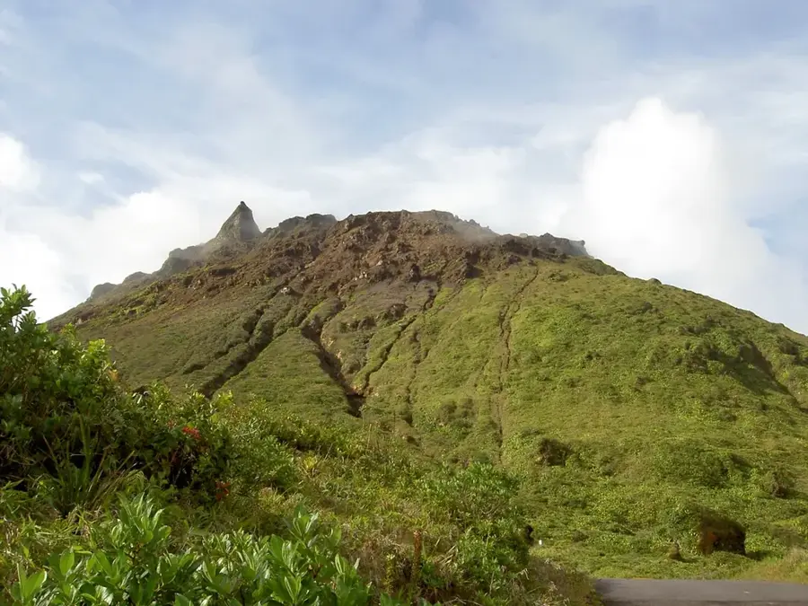
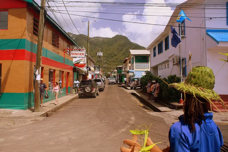
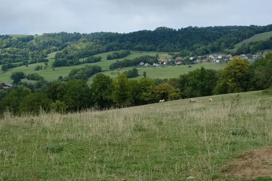
Mount Sion is a prominent volcanic peak located in the Choiseul district of southwestern Saint Lucia. Rising to approximately 300 meters above sea level, it provides a commanding view of the island's southern coastline and the Caribbean Sea. Geologically, Mount Sion is part of the island's older volcanic complex, characterized by dacitic rock formations created by prehistoric eruptions. The fertile volcanic soil on its slopes supports a variety of local agriculture, with small-scale farms dotting the landscape. The vegetation transitions from tropical scrub to cultivated plots, providing a verdant backdrop to the rural scenery. Hikers and nature lovers visit Mount Sion for its accessibility and the unique perspective it features of the world-famous Pitons to the north. The hill is a significant landmark within the Choiseul hinterland, a region celebrated for its traditional pottery and artisan crafts. Its summit provides a tranquil vantage point from which to appreciate the balance between Saint Lucia's volcanic origins and its spirited rural life.
- Location: St. Lucia
- Top sights: Laborie District · Saltibus, Saint Lucia · Bat Cave (Saint Lucia)
- Nearby: Augier (4 km)
Best time to visit & climate
The most pleasant time to visit is Jan–Mar.
| Jan | Feb | Mar | Apr | May | Jun | Jul | Aug | Sep | Oct | Nov | Dec | |
|---|---|---|---|---|---|---|---|---|---|---|---|---|
| Avg °C | 26 | 26 | 26 | 27 | 28 | 28 | 28 | 28 | 29 | 28 | 28 | 27 |
| Rain mm | 68 | 44 | 48 | 97 | 102 | 136 | 154 | 180 | 182 | 189 | 159 | 85 |
📋 Practical info
Geography
Facts
- Elevation is approximately 320 meters above sea level
- Composed primarily of andesitic rock
- Offers an excellent view of Mount Gimie
- Center for small-scale farming on its slopes
- Important point for local rainwater catchment
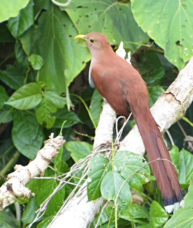
- Home to various species of hummingbirds
Explore nearby
Notable places around
Route planner — Car & Motorhome
Where do you start? We build the route here, with stops and country notes along the way.
© OpenStreetMap contributors · OpenRouteService
Sights in the town Mount Sion (3)
Sights nearby
Frequently asked questions
How high is Mount Sion?
Are there religious sites there?
Is the mountain good for nature observation?
What is the difficulty level of the paths?
Is there parking at the foot of the mountain?
Mount Sion: where is it located?
Mount Sion: what is there to see?
Mount Sion: when is the best time to visit?
Mount Sion: why is it worth visiting?

Nearby cities