Plizio Visual Lab
San Juanico Bridge
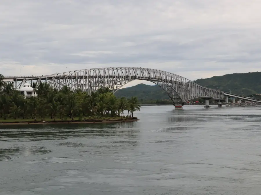
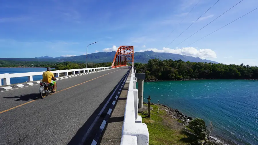
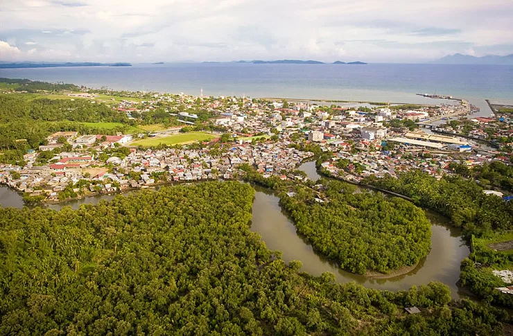
The San Juanico Bridge is a masterpiece of engineering connecting the islands of Leyte and Samar across the strait of the same name. With a length of over two kilometers, it was for a long time the longest bridge in the Philippines. The structure is part of the Pan-Philippine Highway and has significantly accelerated the economic development of the Eastern Visayas region. The bridge is characterized by its elegant S-shape, designed to withstand the strong tidal currents of the San Juanico Strait. It gives a spectacular view, especially at sunset or when illuminated at night. For the local population, it is a symbol of unity and progress, while for travelers, it represents an indispensable and scenic part of the journey through the Philippine archipelago.
- Location: Philippines
- Top sights: San Juan By The Bay · La Piscine Riveraine · Kingdom Hall of Jehovah's Witnesses
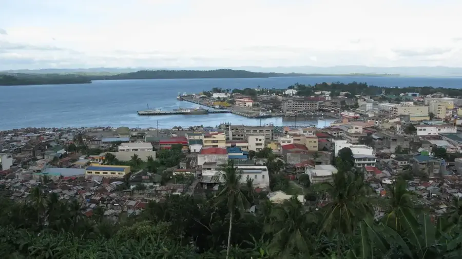
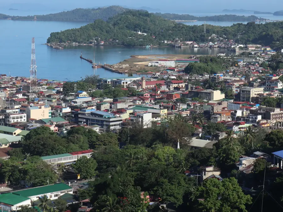
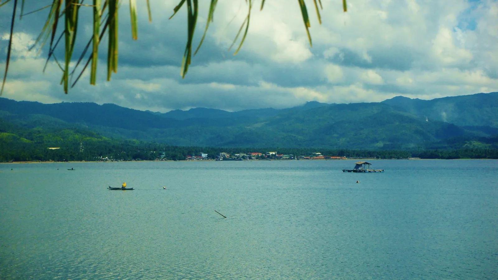
- Nearby: Tacloban (5 km)
Best time to visit & climate
The most pleasant time to visit is Apr, May, Aug.
| Jan | Feb | Mar | Apr | May | Jun | Jul | Aug | Sep | Oct | Nov | Dec | |
|---|---|---|---|---|---|---|---|---|---|---|---|---|
| Avg °C | 25 | 25 | 26 | 27 | 28 | 27 | 27 | 27 | 27 | 27 | 27 | 26 |
| Rain mm | 437 | 287 | 234 | 137 | 174 | 228 | 234 | 169 | 202 | 261 | 320 | 488 |
📋 Practical info
Geography
Facts
- The bridge was completed in 1973 during the Marcos era.
- It spans a total length of 2.16 kilometers.
- It was built as a gift from Ferdinand Marcos to his wife, Imelda, who was from Leyte.
- Its 'S' shape on the Samar side and 'L' shape on the Leyte side are distinctive features.
- The bridge sustained only minor damage from Typhoon Yolanda in 2013.
- A lights and sounds show project for the bridge was launched in 2019.
- It crosses the San Juanico Strait, which is known for its whirlpools.
Explore nearby
Notable places around
Route planner — Car & Motorhome
Where do you start? We build the route here, with stops and country notes along the way.
© OpenStreetMap contributors · OpenRouteService
Sights in the town San Juanico Bridge (5)
Sights nearby
Frequently asked questions
What is special about the bridge?
Can I walk across it?
Is it safe?
When is the view best?
How do I get there?
San Juanico Bridge: where is it located?
San Juanico Bridge: what is there to see?
San Juanico Bridge: when is the best time to visit?
San Juanico Bridge: why is it worth visiting?

Nearby cities