Plizio Visual Lab
Cotabato Valley

Weather…
Water temperature…
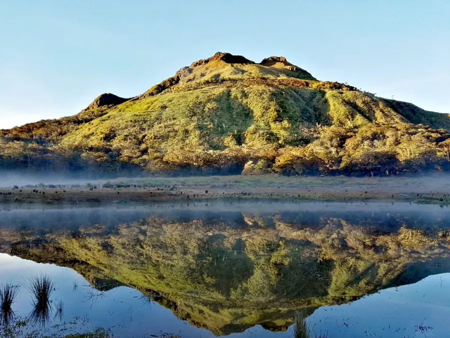
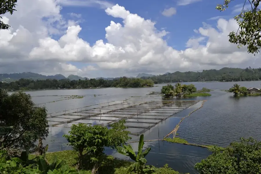
The Cotabato Valley is one of the largest and most fertile lowlands in the Philippines, stretching across the central and southwestern part of Mindanao. The relief forms a wide, flat basin surrounded by high mountain ranges like the Daguma Mountains. The topography is significantly shaped by the Rio Grande de Mindanao, which drains the valley and floods large areas during high water. These fluvial deposits have made the valley the most important rice granary of Mindanao. The relief is extremely flat in large parts, which favors the construction of irrigation systems but also makes the region vulnerable to extreme climatic events. Geologically, the basin is a subsidence zone rich in fertile volcanic and alluvial soils.
- Location: Philippines
- Nearby: Mindupok (58 km)
Best time to visit & climate
The most pleasant time to visit is Jan–Mar.
| Jan | Feb | Mar | Apr | May | Jun | Jul | Aug | Sep | Oct | Nov | Dec | |
|---|---|---|---|---|---|---|---|---|---|---|---|---|
| Avg °C | 25 | 25 | 26 | 27 | 27 | 26 | 26 | 26 | 26 | 26 | 26 | 26 |
| Rain mm | 126 | 93 | 118 | 134 | 249 | 353 | 288 | 214 | 262 | 296 | 154 | 147 |
📋 Practical info
Geography
Facts
- The Rio Grande de Mindanao is the second longest river in the Philippines.
- The valley is often called the 'Rice Bowl of Mindanao'.
- The Ligawasan Marsh is a vast wetland within the valley.
- The region has a Muslim majority and is the center of the Bangsamoro Autonomous Region.
- Agriculture is the mainstay of the economy.
- The valley is a basin of subsidence created by tectonic activity.
- It is a major producer of corn, coconut, and bananas.
Explore nearby
Notable places around
Route planner — Car & Motorhome
Where do you start? We build the route here, with stops and country notes along the way.
© OpenStreetMap contributors · OpenRouteService
Sights in the town Cotabato Valley (1)
Sights nearby
Frequently asked questions
What does the valley offer travelers?
Is it safe to travel?
What transportation is available?
When is the harvest time?
Is there tourist infrastructure?
Cotabato Valley: where is it located?
Cotabato Valley: when is the best time to visit?
Cotabato Valley: why is it worth visiting?

Nearby cities