Plizio Visual Lab
Chocolate Hills

Weather…
Water temperature…
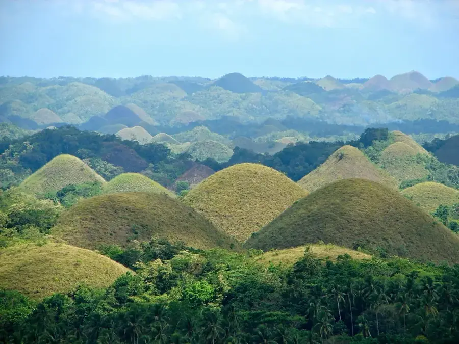
The relief of the Chocolate Hills on Bohol is a globally unique karst landscape. It consists of over 1,200 conical limestone hills that rise in rows from a rolling plain. This geomorphological formation is the result of millions of years of uplift of marine limestone and subsequent intense chemical weathering by rainwater. The hills are remarkably uniform in shape, with heights ranging from 30 to 120 meters. The relief appears particularly surreal during the dry season when the withered grass gives the hills their characteristic chocolate-brown color, while the valleys in between often remain green. The Chocolate Hills are a classic example of cone karst and represent a significant geological monument that reflects the dynamic geological history of the Philippine archipelago.
- Location: Philippines
- Top sights: Firefly Spot · Chocolate Hills Adventure Park (CHAP) · Free guided tours of organic farm
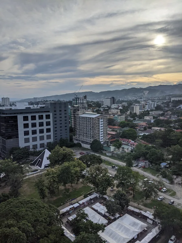
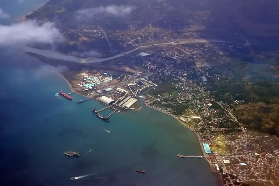
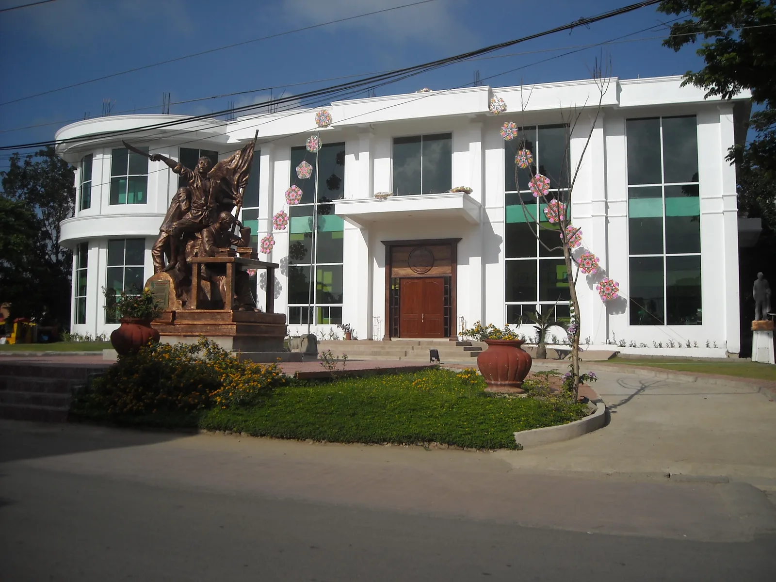
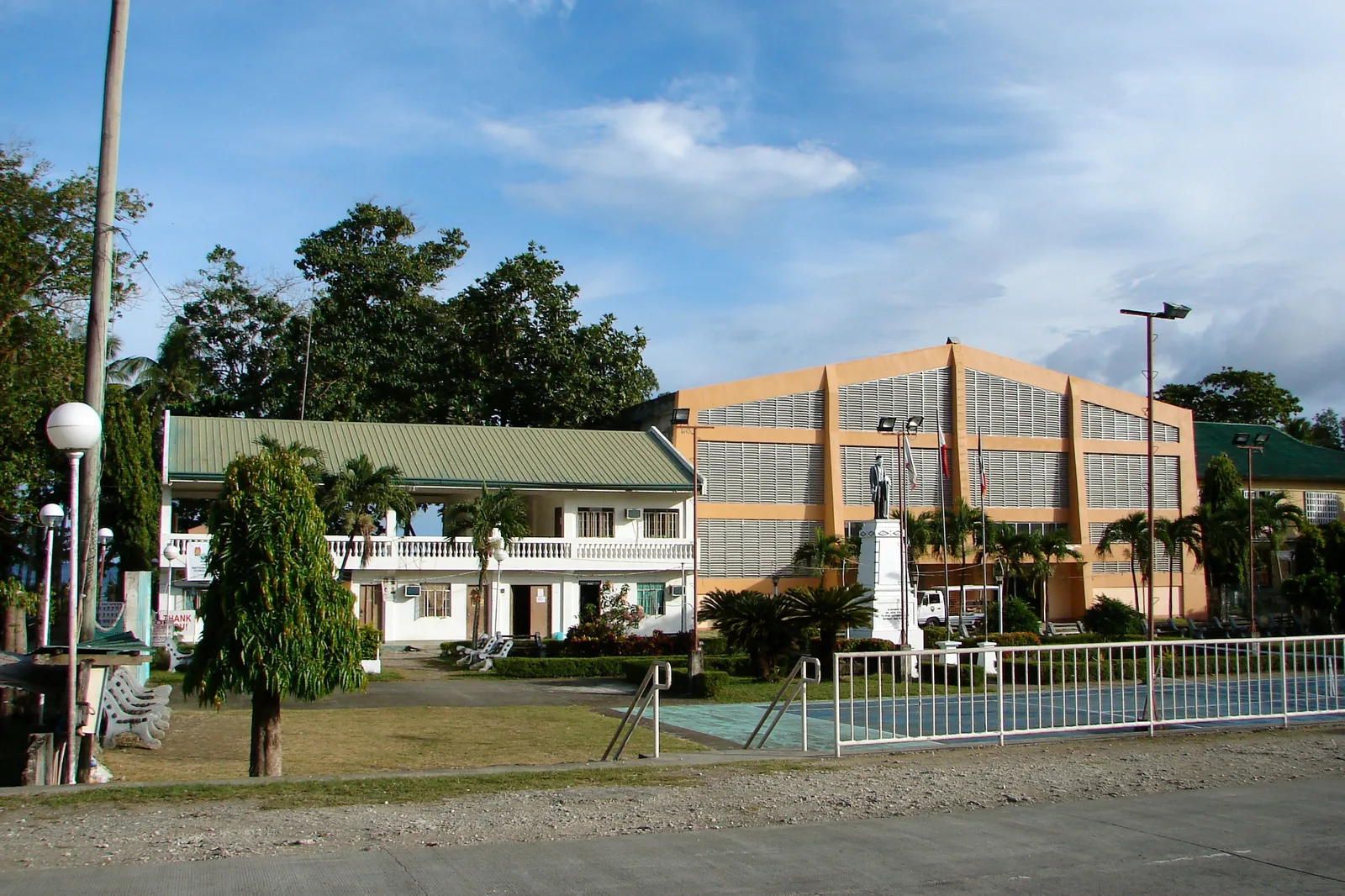
- Nearby: Buenavista (16 km)
Best time to visit & climate
The most pleasant time to visit is Feb–Apr.
| Jan | Feb | Mar | Apr | May | Jun | Jul | Aug | Sep | Oct | Nov | Dec | |
|---|---|---|---|---|---|---|---|---|---|---|---|---|
| Avg °C | 26 | 26 | 27 | 28 | 29 | 28 | 27 | 27 | 27 | 27 | 27 | 27 |
| Rain mm | 153 | 99 | 86 | 65 | 117 | 198 | 220 | 184 | 193 | 226 | 169 | 183 |
📋 Practical info
Geography
Facts
- There are at least 1,268 hills, with some estimates reaching 1,776.
- The hills are covered in hard grass such as Imperata cylindrica.
- They are a candidate for UNESCO World Heritage Site status.
- Legend says the hills are the tears of a grieving giant.
- The formations are an example of karst topography.
- The two highest hills have been developed into viewing decks for tourists.
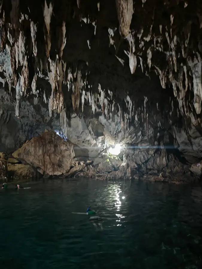
- Numerous caves and springs are found beneath the hills.
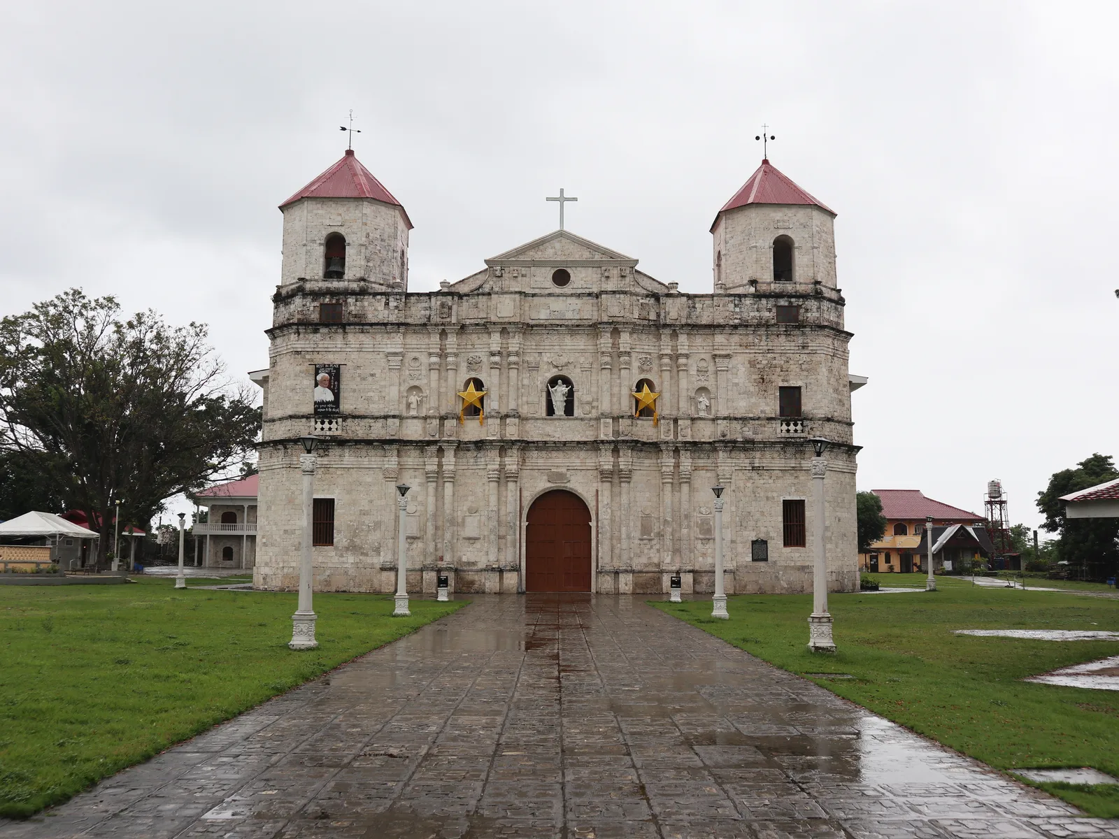
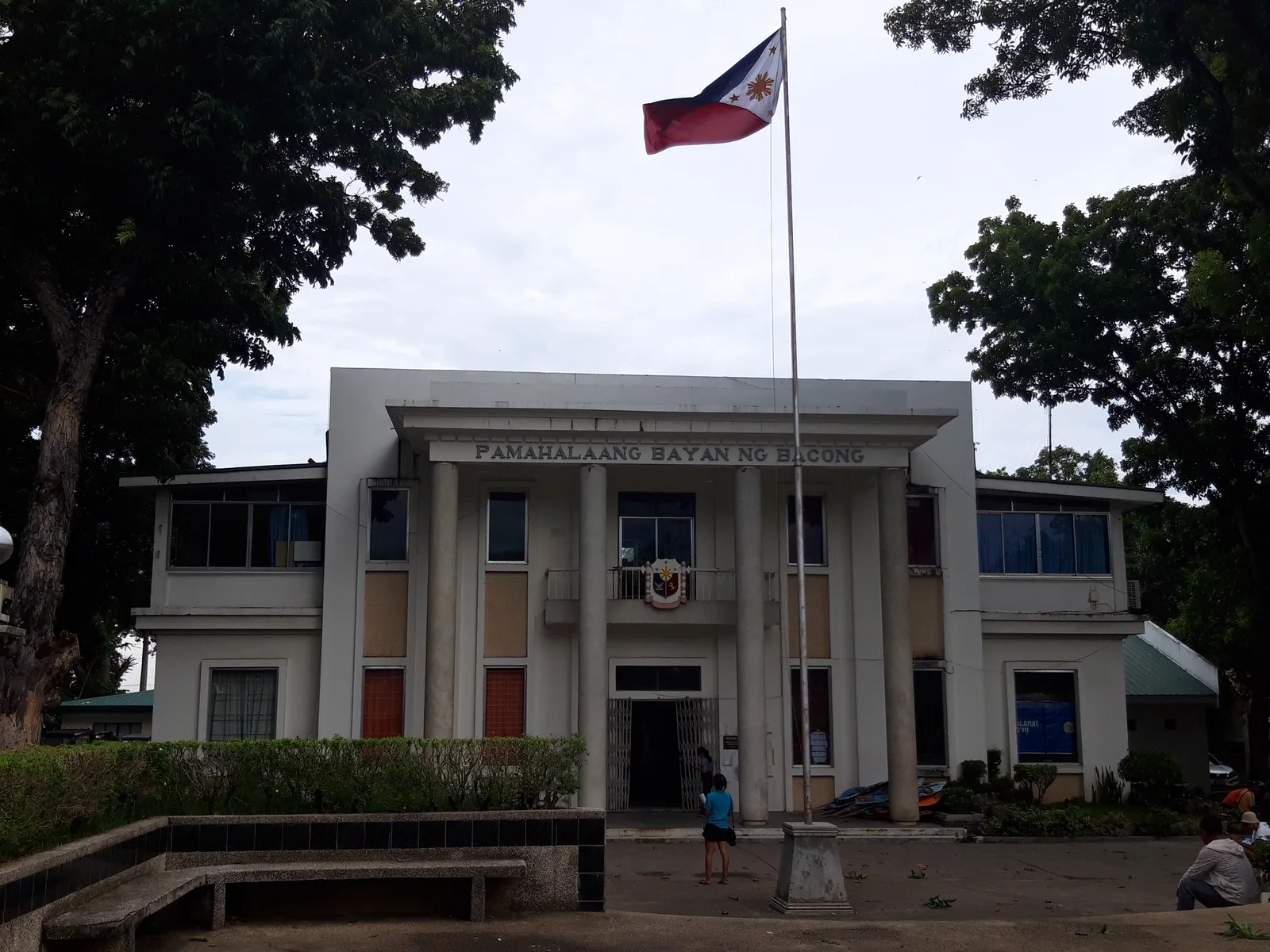
Explore nearby
Notable places around
Route planner — Car & Motorhome
Where do you start? We build the route here, with stops and country notes along the way.
© OpenStreetMap contributors · OpenRouteService
Sights in the town Chocolate Hills (8)
Sights nearby
Frequently asked questions
How were the Chocolate Hills formed?
Why are they called Chocolate Hills?
Where is the best viewpoint?
When should you visit?
Are they accessible?
Chocolate Hills: where is it located?
Chocolate Hills: what is there to see?
Chocolate Hills: when is the best time to visit?
Chocolate Hills: why is it worth visiting?

Nearby cities


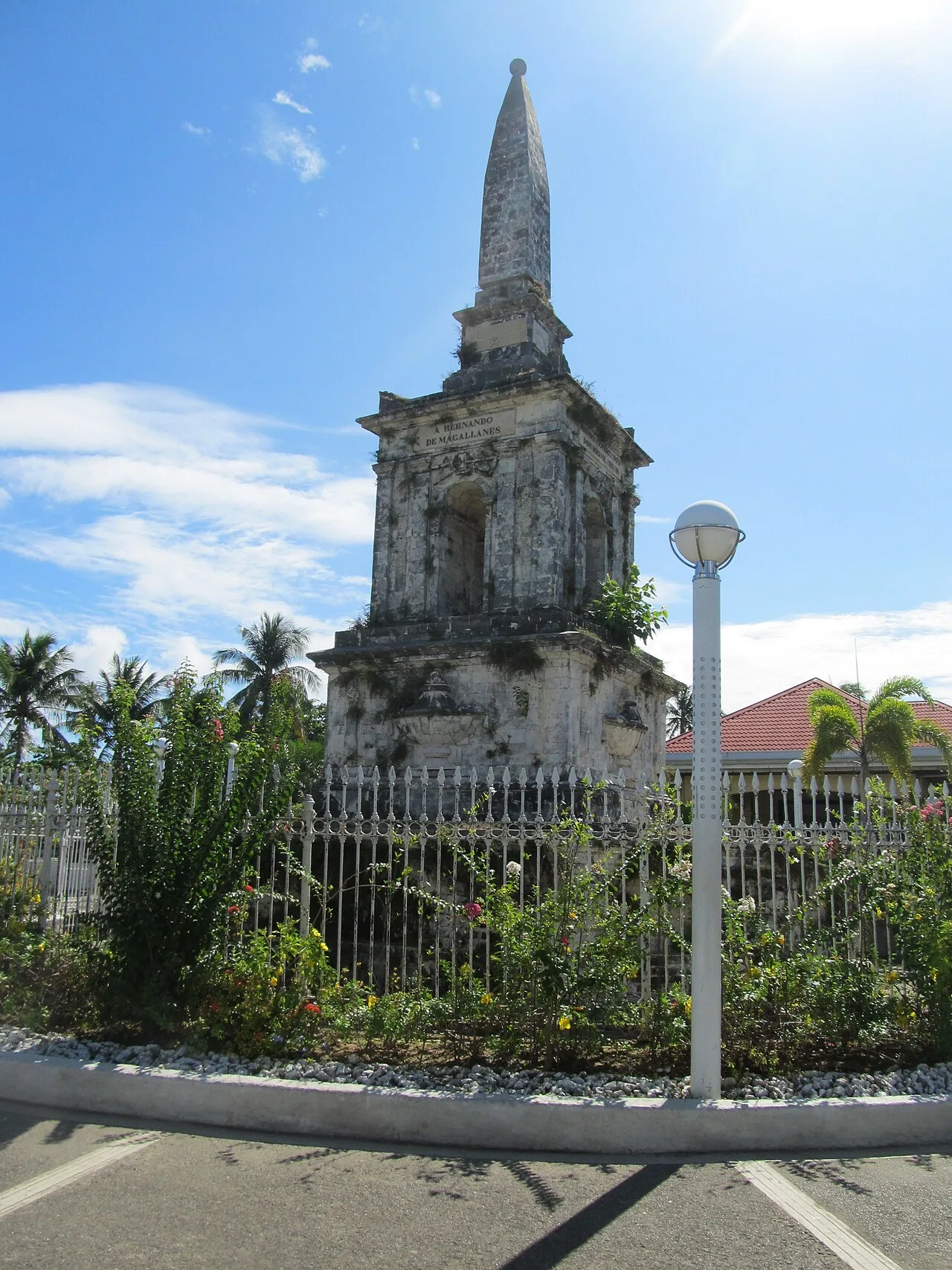
History & landmarks
More places