Plizio Visual Lab
Ekiti Hills
Weather…
Water temperature…
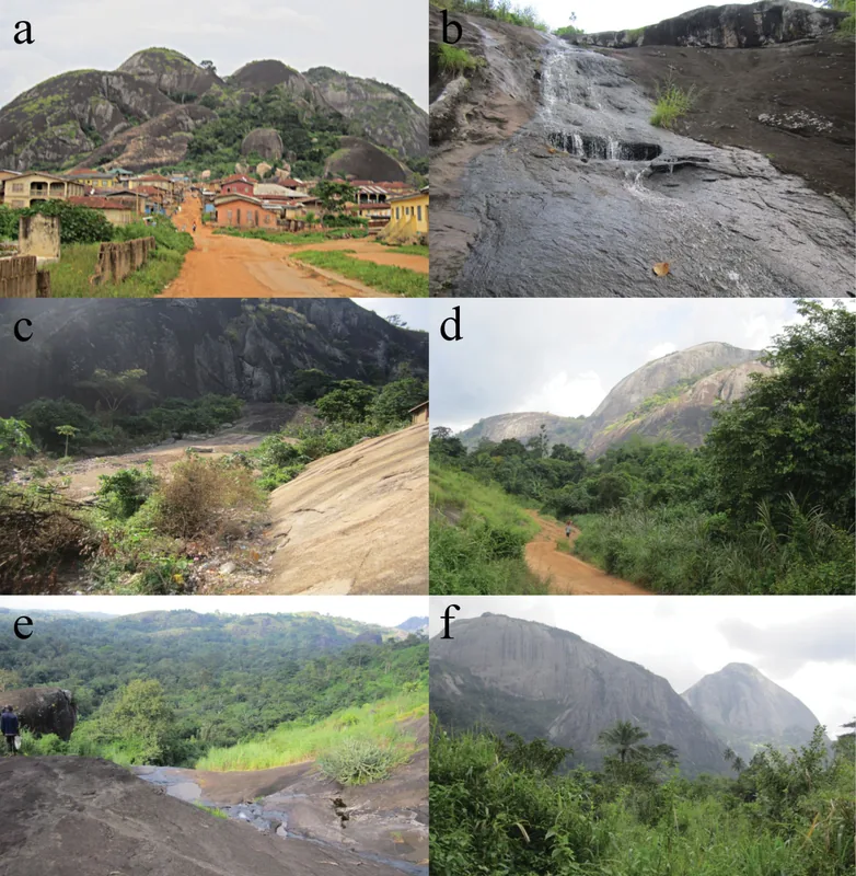
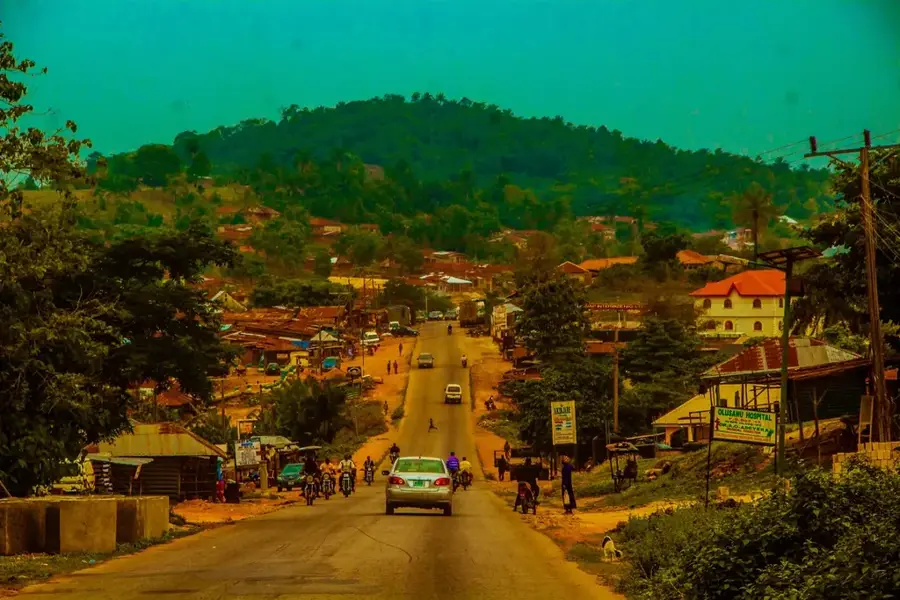
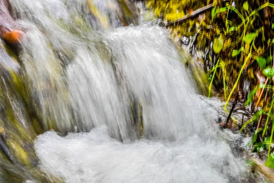
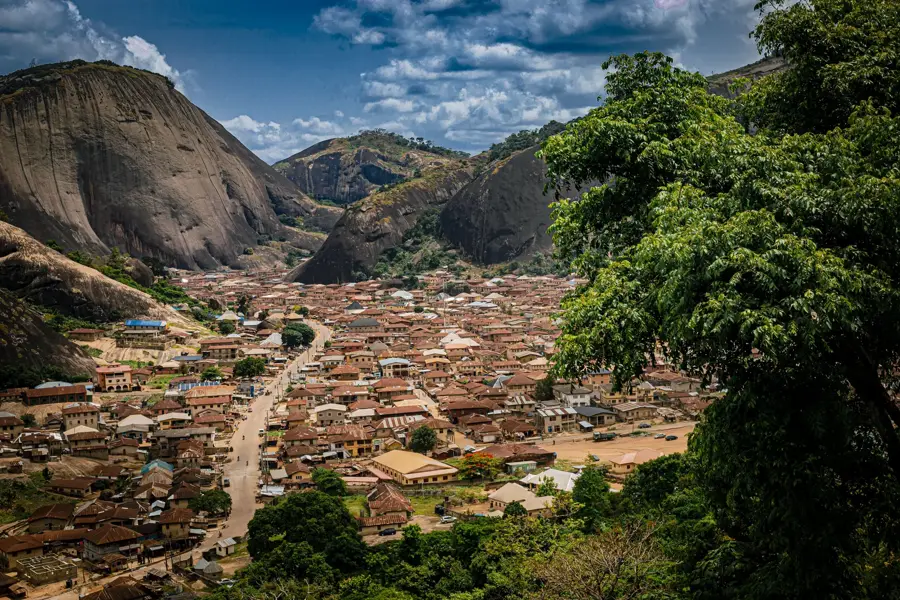
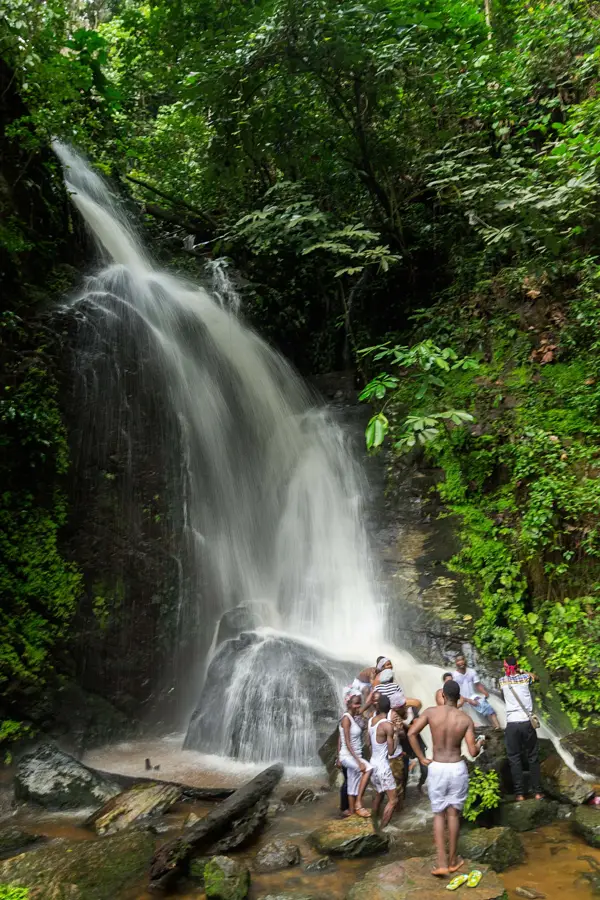
The Ekiti Hills in southwestern Nigeria form an undulating upland characterized by numerous granite inselbergs and massive rock formations. Elevations range from 300 to over 700 meters, forming a core part of the Yoruba Highlands. Geologically, the hills consist of ancient crystalline basement complex rocks that have been weathered over millions of years to create distinct peaks. A unique feature of the region is its hydrological activity, most notably the Ikogosi Warm Springs, where cold and warm springs meet at the base of these hills. The relief supports a humid tropical climate, resulting in lush vegetation and dense rainforest cover. Historically, the hills provided a natural defense for the local population during the 19th-century Yoruba civil wars, significantly influencing the settlement patterns of modern Ekiti State.
- Location: Nigeria
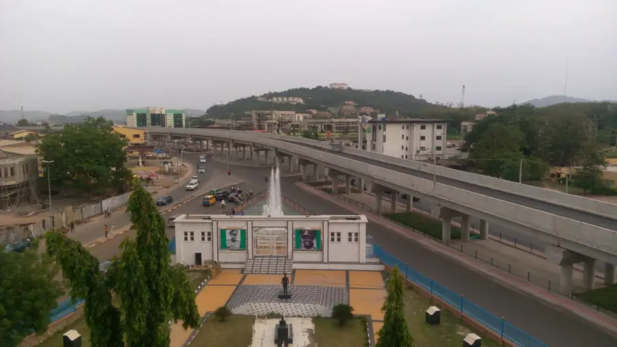
- Nearby: Ikogosi (26 km)
Best time to visit & climate
The most pleasant time to visit is Jan, Feb, Dec.
| Jan | Feb | Mar | Apr | May | Jun | Jul | Aug | Sep | Oct | Nov | Dec | |
|---|---|---|---|---|---|---|---|---|---|---|---|---|
| Avg °C | 24 | 26 | 26 | 26 | 25 | 24 | 24 | 24 | 24 | 25 | 25 | 24 |
| Rain mm | 14 | 25 | 52 | 113 | 158 | 212 | 227 | 210 | 293 | 187 | 43 | 16 |
📋 Practical info
Geography
Facts
- The Ikogosi Warm Springs is a world-famous site located within these hills.
- The highest elevations in the range reach approximately 730 meters.
- The hills are primarily composed of Precambrian granite and gneiss.
- The region is part of the Western Nigerian basement complex.
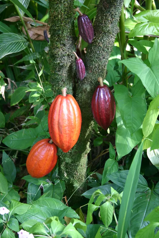
- The undulating terrain is ideal for the cultivation of tropical tree crops.
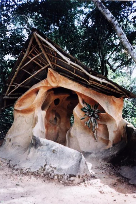
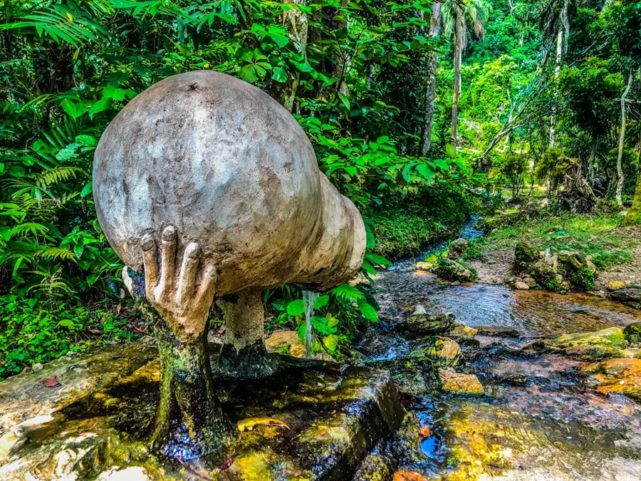
- Erosion has created many spectacular rock arches and caves in the hills.
Explore nearby
Notable places around
Route planner — Car & Motorhome
Where do you start? We build the route here, with stops and country notes along the way.
© OpenStreetMap contributors · OpenRouteService
Sights nearby
Frequently asked questions
What characterizes the Ekiti hilly area?
Is the area suitable for families?
What is the local cuisine like?
What is the best time?
Are there hiking opportunities?
Ekiti Hills: where is it located?
Ekiti Hills: when is the best time to visit?
Ekiti Hills: why is it worth visiting?

Nearby cities

History & landmarks
More places