Plizio Visual Lab
Niger Delta (relief)
Weather…
Water temperature…
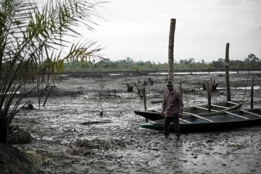
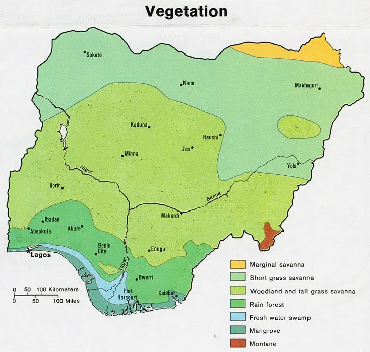
The Niger Delta on the Atlantic coast of Nigeria is one of the world's largest river deltas and a geologically fascinating region. It was formed by the continuous deposition of sediments carried by the Niger River into the Gulf of Guinea over millions of years. The relief is extremely low-lying and intersected by a complex network of countless distributaries, creeks, and lagoons that constantly shift their course. The landscape is dominated by vast mangrove forests, which are among the largest in the world and host immense biological diversity. Geologically, the delta is of paramount importance as its thick sedimentary sequences contain massive reserves of crude oil and natural gas, forming the backbone of Nigeria's economy. However, the extraction of these resources has led to significant environmental challenges and social tensions. The delta also functions as a giant sponge, protecting the coastline from erosion and providing a vital breeding ground for marine life and fisheries.
- Location: Nigeria
- Nearby: Ughelli (77 km)
Best time to visit & climate
The most pleasant time to visit is Jan, Feb, Dec.
| Jan | Feb | Mar | Apr | May | Jun | Jul | Aug | Sep | Oct | Nov | Dec | |
|---|---|---|---|---|---|---|---|---|---|---|---|---|
| Avg °C | 26 | 27 | 27 | 27 | 27 | 26 | 25 | 25 | 25 | 26 | 26 | 26 |
| Rain mm | 26 | 53 | 110 | 162 | 220 | 330 | 334 | 319 | 393 | 252 | 125 | 33 |
📋 Practical info
Geography
Facts
- The delta covers an area of approximately 70,000 square kilometers.
- It contains the largest mangrove forest ecosystem in Africa and the third largest in the world.
- Geologically, it consists of three major subsurface formations: Akata, Agbada, and Benin.
- The region accounts for nearly 90% of Nigeria's foreign exchange earnings from oil.
- There are over 3,000 kilometers of navigable waterways within the delta's network.
- Annual rainfall in the delta can exceed 4,000 mm in some coastal areas.
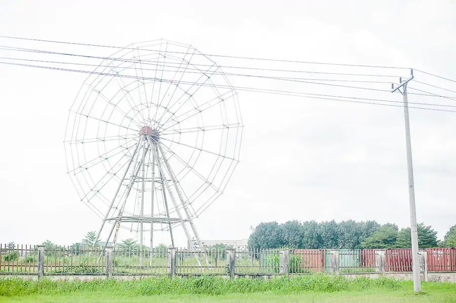
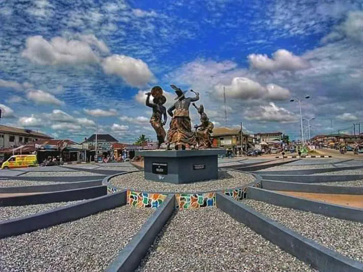
Explore nearby
Notable places around
Route planner — Car & Motorhome
Where do you start? We build the route here, with stops and country notes along the way.
© OpenStreetMap contributors · OpenRouteService
Sights nearby
Frequently asked questions
What is special about the Niger Delta?
Is the region developed for tourism?
Are there security concerns in the delta?
What is the best way to travel in the delta?
When is the best time to travel?
Niger Delta (relief): where is it located?
Niger Delta (relief): when is the best time to visit?
Niger Delta (relief): why is it worth visiting?