Plizio Visual Lab
Plateau de Dogny
Weather…
Water temperature…
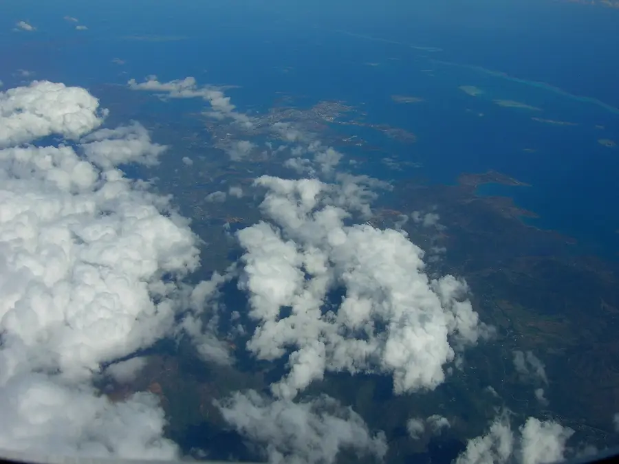
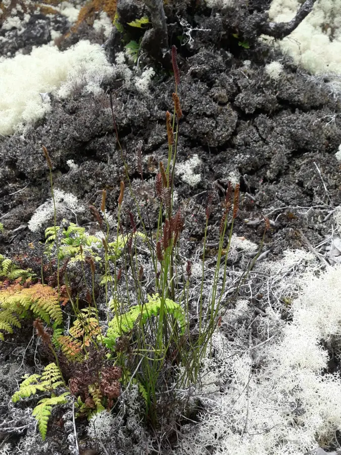
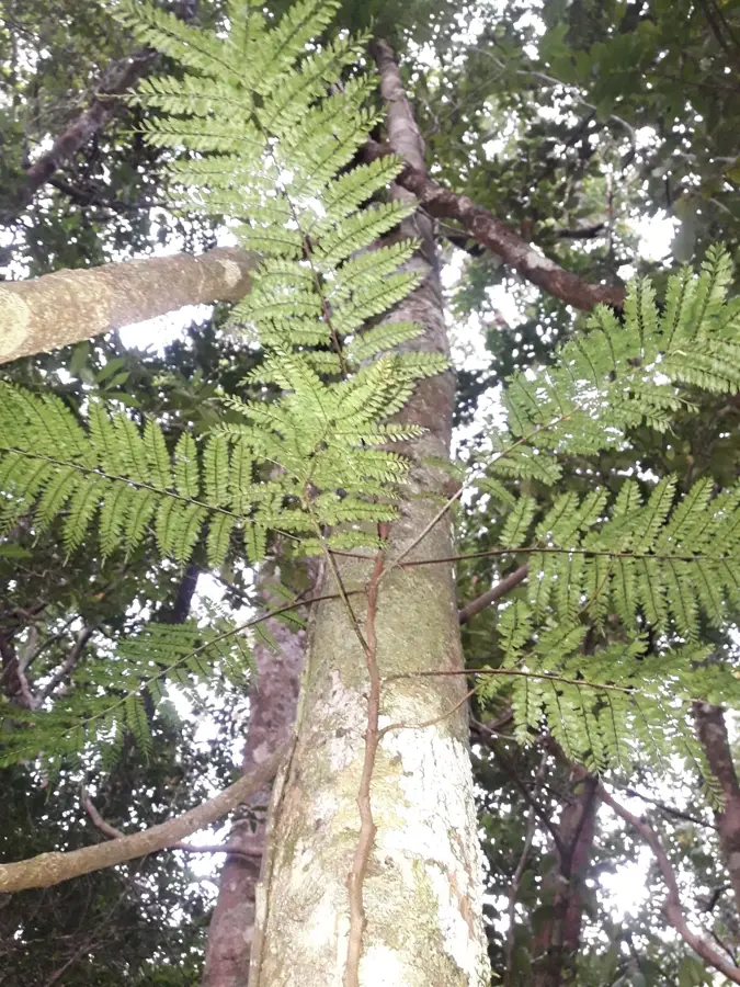
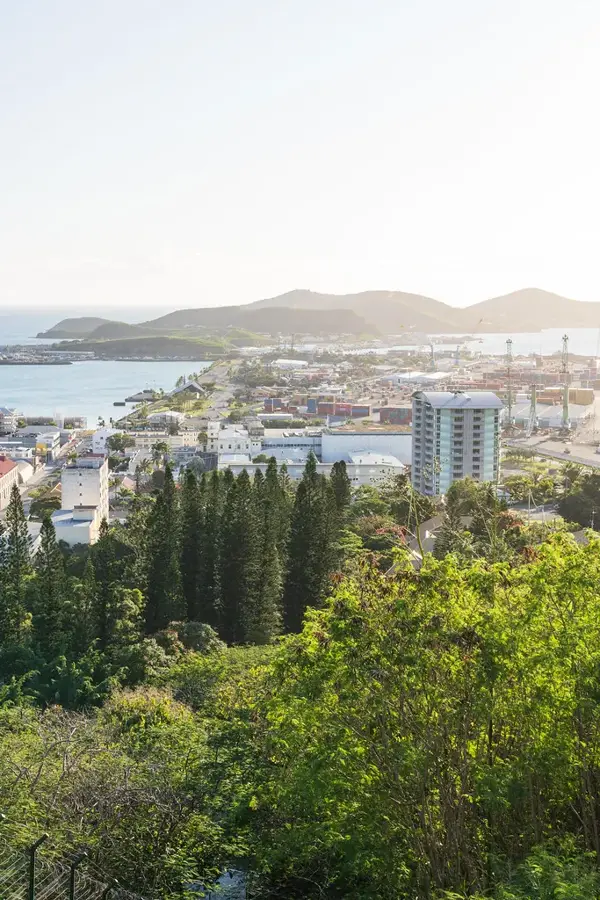
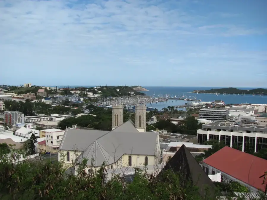
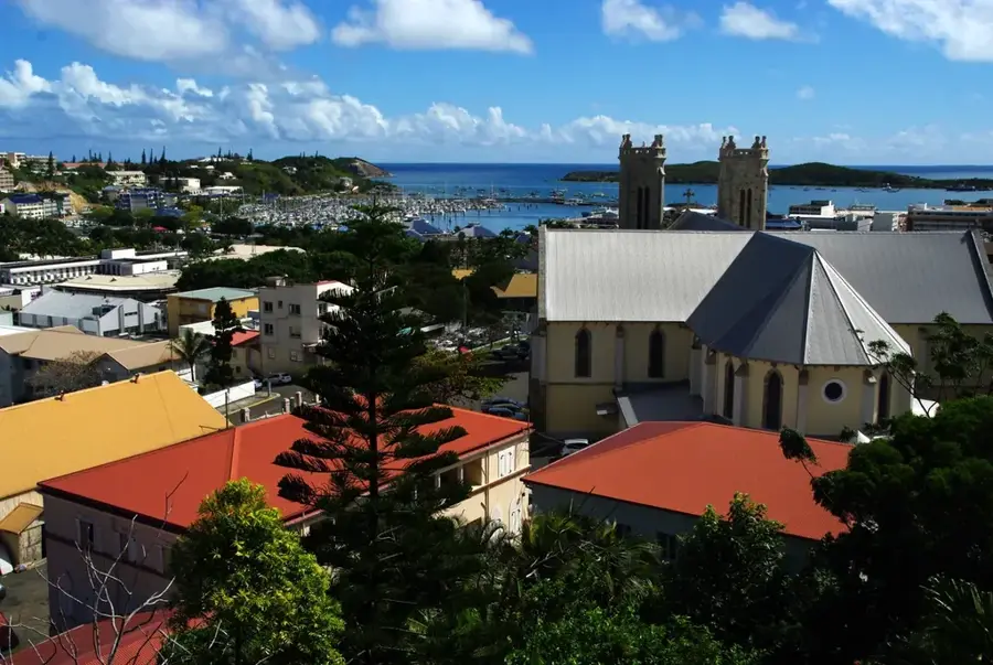
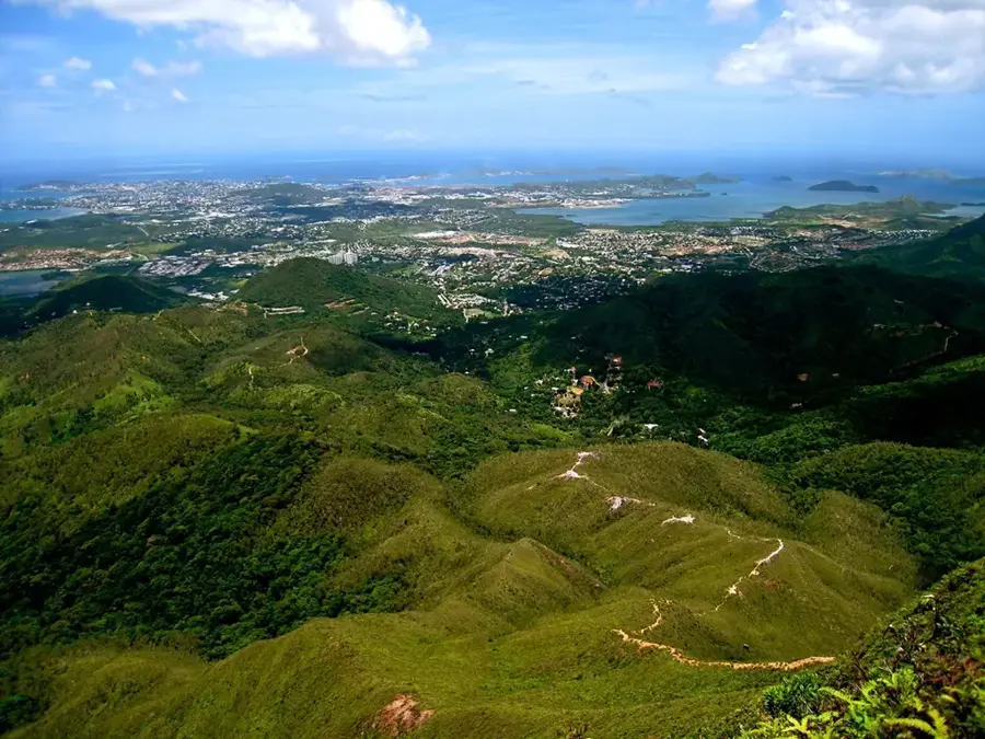
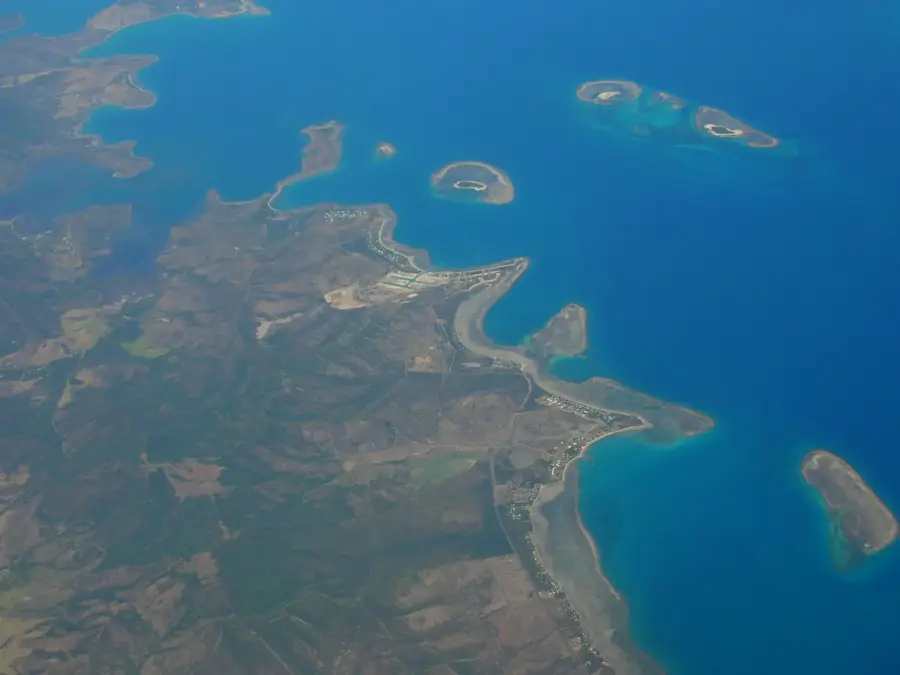
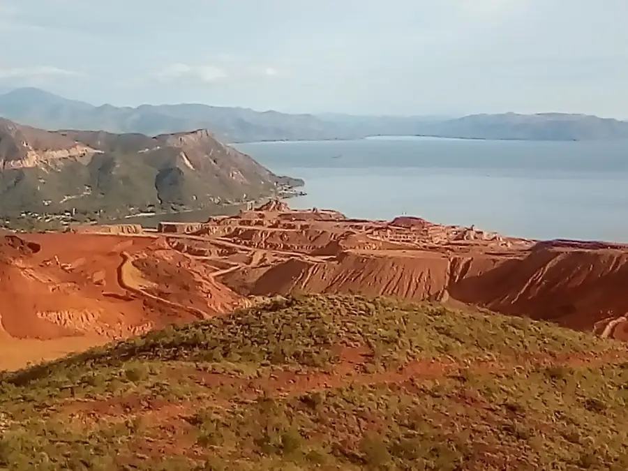
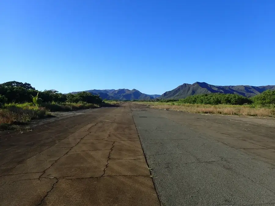
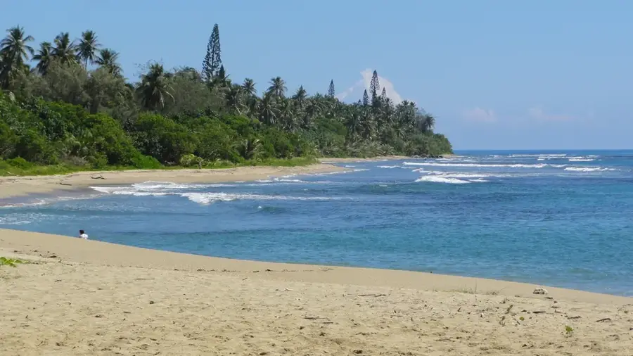
The Plateau de Dogny rises prominently above the municipality of Sarraméa in the central mountain range of New Caledonia's main island. Reaching an average elevation of 1,000 meters, this highland area presents a diverse landscape where dense primary rainforests transition into expansive, wind-swept grasslands. The plateau is a premier destination for hikers, offering challenging trails that weave through unique ecosystems characterized by high levels of endemism, featuring rare ferns and mountain orchids. On clear days, the ridges provide an exceptional vantage point from which both the eastern and western coasts of the island can be seen simultaneously, along with the vast expanse of the surrounding coral lagoons. Beyond its aesthetic and recreational value, the plateau serves as a critical water catchment area for the lower valleys, making it a vital component of the local environment. Its cool climate and tranquil atmosphere offer a refreshing contrast to the humid coastal regions.
- Location: New Caledonia
- Top sights: Vers le col d'Amieu et la côte-Ouest · Sommet plat
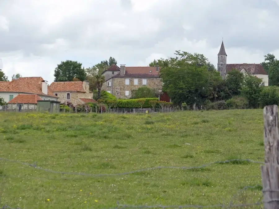
- Nearby: La Foa (10 km)
Best time to visit & climate
The most pleasant time to visit is Jul–Sep.
| Jan | Feb | Mar | Apr | May | Jun | Jul | Aug | Sep | Oct | Nov | Dec | |
|---|---|---|---|---|---|---|---|---|---|---|---|---|
| Avg °C | 26 | 27 | 26 | 25 | 23 | 22 | 21 | 21 | 22 | 23 | 24 | 25 |
| Rain mm | 157 | 149 | 209 | 130 | 100 | 84 | 63 | 61 | 48 | 55 | 72 | 110 |
📋 Practical info
Geography
Facts
- Elevation of approx. 1050 meters
- Located in Sarraméa municipality
- Part of the GR1 hiking trail
- Mix of forest and savanna
- Panoramic view of the lagoon
- Known for dense cloud forests
Explore nearby
Notable places around
Route planner — Car & Motorhome
Where do you start? We build the route here, with stops and country notes along the way.
© OpenStreetMap contributors · OpenRouteService
Sights in the town Plateau de Dogny (2)
Sights nearby
Frequently asked questions
Is Plateau de Dogny a worthwhile destination?
How strenuous is the hike?
Do you need special equipment?
Are there camping opportunities there?
When is the best time for the hike?
Plateau de Dogny: where is it located?
Plateau de Dogny: what is there to see?
Plateau de Dogny: when is the best time to visit?
Plateau de Dogny: why is it worth visiting?

Nearby cities

History & landmarks
More places