Plizio Visual Lab
Okavango Delta Proximity Region
Weather…
Water temperature…
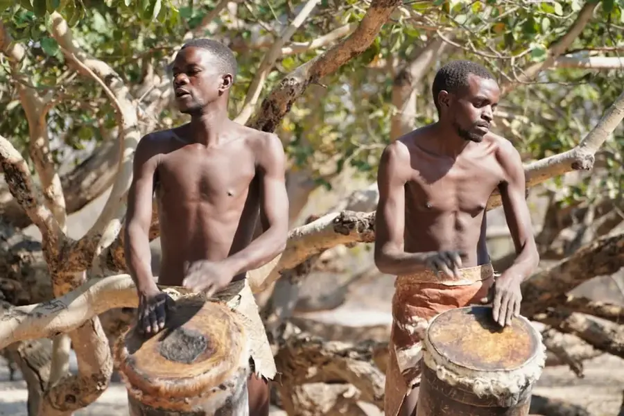
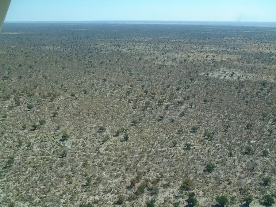
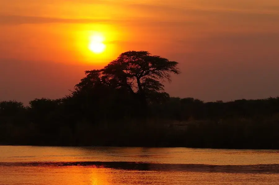
The Kavango region in northeastern Namibia is defined by the Okavango River, which serves as a critical lifeline in an otherwise semi-arid landscape. Unlike most of Namibia, the river's perennial flow allows for intensive subsistence farming and large-scale irrigation projects along its banks. Local communities primarily cultivate pearl millet, locally known as mahangu, along with maize and sorghum, while cattle ranching remains a cornerstone of social and economic life. The river also forms the natural border with Angola before flowing southeast to feed the world-renowned Okavango Delta in neighboring Botswana. Geographically, the region is characterized by flat plains and deep Kalahari sands, which restrict agricultural activity to the fertile alluvial soils near the river. In recent years, the Namibian government has established 'Green Scheme' projects to boost food security through mechanized wheat and maize production. Furthermore, the region is a vital ecological corridor for migratory wildlife, forming part of the Kavango-Zambezi Transfrontier Conservation Area (KAZA).
- Location: Namibia
- Nearby: Rundu (29 km)
Best time to visit & climate
The most pleasant time to visit is May, Jun, Aug.
| Jan | Feb | Mar | Apr | May | Jun | Jul | Aug | Sep | Oct | Nov | Dec | |
|---|---|---|---|---|---|---|---|---|---|---|---|---|
| Avg °C | 26 | 25 | 25 | 23 | 21 | 18 | 17 | 21 | 25 | 29 | 28 | 27 |
| Rain mm | 172 | 112 | 95 | 29 | 2 | 0 | 0 | 0 | 1 | 8 | 55 | 106 |
📋 Practical info
Geography
Facts
- The Okavango River is approximately 1,600 kilometers long and never reaches the sea.
- Mahangu (pearl millet) is the primary staple crop for over 50% of the local population.
- The government's Green Scheme projects cover thousands of hectares of irrigated land.
- Average annual rainfall in this region is higher than the national average, at 500-600 mm.
- The river forms the international boundary with Angola for roughly 400 kilometers.
- Traditional dugout canoes used by the Kavango people are called 'mokoros'.
Explore nearby
Notable places around
Route planner — Car & Motorhome
Where do you start? We build the route here, with stops and country notes along the way.
© OpenStreetMap contributors · OpenRouteService
Sights nearby
Frequently asked questions
What is special about the region?
Can one see agriculture here?
Is it a typical tourist destination?
What should I be aware of?
Are there markets nearby?
Okavango Delta Proximity Region: where is it located?
Okavango Delta Proximity Region: when is the best time to visit?
Okavango Delta Proximity Region: why is it worth visiting?