Plizio Visual Lab
Morelia Aqueduct

The Morelia Aqueduct is a magnificent example of 18th-century engineering and a primary symbol of the city's colonial heritage. Commissioned by Bishop Fray Antonio de San Miguel and built between 1785 and 1789, it was designed both to alleviate a water shortage and to provide employment for the local indigenous population during a famine. The structure is remarkably well-preserved, featuring 253 majestic arches constructed from the region's signature pink volcanic stone. Spanning roughly 1,700 meters and reaching heights of up to 9 meters, it borders the historic center of Morelia, a UNESCO World Heritage site. Its Baroque elegance is particularly evident in the sturdy yet graceful curves of the masonry. Today, it remains a favorite spot for evening walks, as the subtle illumination highlights the warm glow of the "cantera rosa" stone against the night sky.
- Location: Mexico
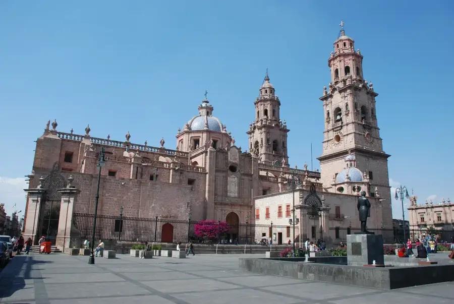
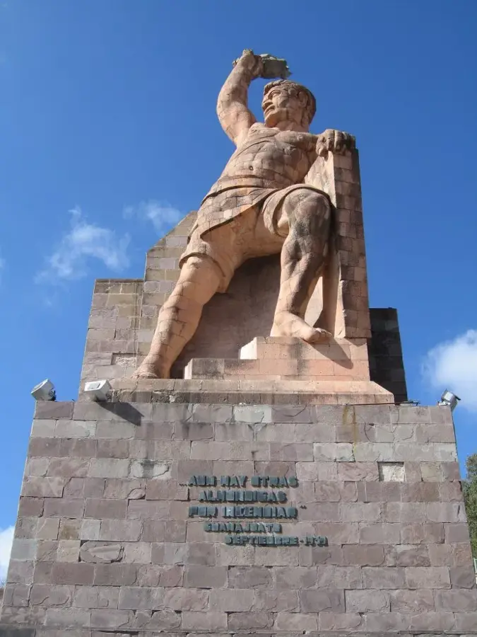
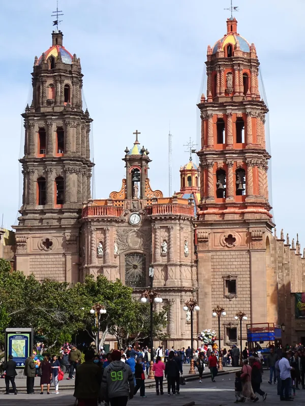
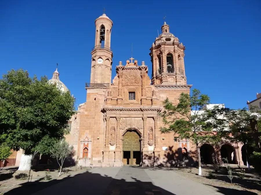
- Top sights: Cúpula de Acueducto · Isaac Arriaca 1921 · Foro La Mueca
- Nearby: Salamanca (19 km)
Best time to visit & climate
The most pleasant time to visit is Mar–May.
| Jan | Feb | Mar | Apr | May | Jun | Jul | Aug | Sep | Oct | Nov | Dec | |
|---|---|---|---|---|---|---|---|---|---|---|---|---|
| Avg °C | 15 | 17 | 19 | 21 | 22 | 21 | 19 | 19 | 19 | 18 | 16 | 15 |
| Rain mm | 9 | 16 | 13 | 4 | 34 | 123 | 171 | 167 | 145 | 55 | 16 | 5 |
📋 Practical info
Geography
Facts
- Built between 1785 and 1789 at the initiative of Bishop Fray Antonio de San Miguel.
- The structure consists of a total of 253 arches.
- The highest point of the aqueduct reaches approximately 9.24 meters.
- The total length of the monument is 1,700 meters.
- It served as the city's main water supply system until 1910.
- Constructed using the characteristic pink stone (cantera) of the region.
Explore nearby
Notable places around
Route planner — Car & Motorhome
Where do you start? We build the route here, with stops and country notes along the way.
© OpenStreetMap contributors · OpenRouteService
Sights in the town Morelia Aqueduct (12)
Sights nearby
Frequently asked questions
When was the aqueduct built?
Can you walk underneath it?
How many arches does the aqueduct have?
Is it illuminated at night?
Where in Morelia is it located?
Morelia Aqueduct: where is it located?
Morelia Aqueduct: what is there to see?
Morelia Aqueduct: when is the best time to visit?
Morelia Aqueduct: why is it worth visiting?

History & landmarks

More places