Plizio Visual Lab
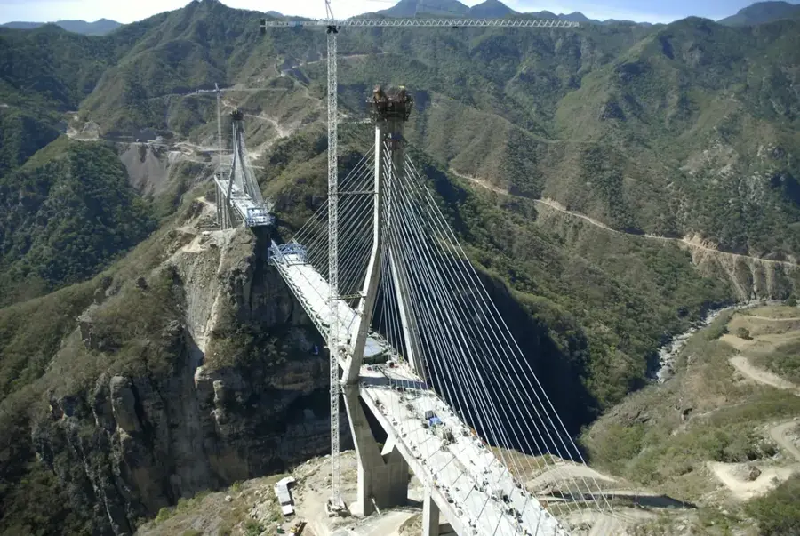
Baluarte Bridge
Weather…
Water temperature…
The Baluarte Bridge, officially known as the Baluarte Bicentenario Bridge, is a striking engineering marvel located in northwestern Mexico. Spanning the deep canyon of the Espinazo del Diablo in the Sierra Madre Occidental mountain range, it serves as the most prominent feature of the Durango-Mazatlán highway. At its inauguration in 2012, it was recognized as the highest cable-stayed bridge in the world, with a road deck suspended 403 meters above the riverbed. The construction was an immense logistical challenge, given the remote location and the rugged topography of the region. This architectural landmark significantly reduced travel times between the Pacific coast and the Mexican interior, fostering economic growth and tourism. Beyond its functional utility, the bridge is a symbol of Mexican pride, completed to commemorate the 200th anniversary of the nation's independence.
- Location: Mexico
- Top sights: Reserva Ecológica La Chara Pinta · Mirador El Palmito · Loberas
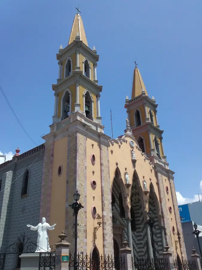
- Nearby: Mazatlán (65 km)
Best time to visit & climate
The most pleasant time to visit is Jan, Feb, Dec.
| Jan | Feb | Mar | Apr | May | Jun | Jul | Aug | Sep | Oct | Nov | Dec | |
|---|---|---|---|---|---|---|---|---|---|---|---|---|
| Avg °C | 21 | 22 | 23 | 25 | 27 | 28 | 27 | 27 | 26 | 25 | 23 | 21 |
| Rain mm | 8 | 15 | 3 | 0 | 1 | 44 | 156 | 226 | 203 | 62 | 26 | 11 |
📋 Practical info
Geography
Facts
- Officially inaugurated on January 5, 2012.
- The bridge deck is located 403 meters above the river bed.
- The total length of the bridge is 1,124 meters.
- The central span between the main pylons is 520 meters long.
- It features 152 steel cables supporting the structure.
- Part of the Durango-Mazatlán highway, which includes over 60 tunnels.
Explore nearby
Notable places around
Route planner — Car & Motorhome
Where do you start? We build the route here, with stops and country notes along the way.
© OpenStreetMap contributors · OpenRouteService
Sights in the town Baluarte Bridge (6)
Sights nearby
Frequently asked questions
What is special about this bridge?
Can you cross the bridge on foot?
Where is it located?
Are there viewpoints?
Why was it built?
Baluarte Bridge: where is it located?
Baluarte Bridge: what is there to see?
Baluarte Bridge: when is the best time to visit?
Baluarte Bridge: why is it worth visiting?

History & landmarks
More places