Plizio Visual Lab
Marietas Islands
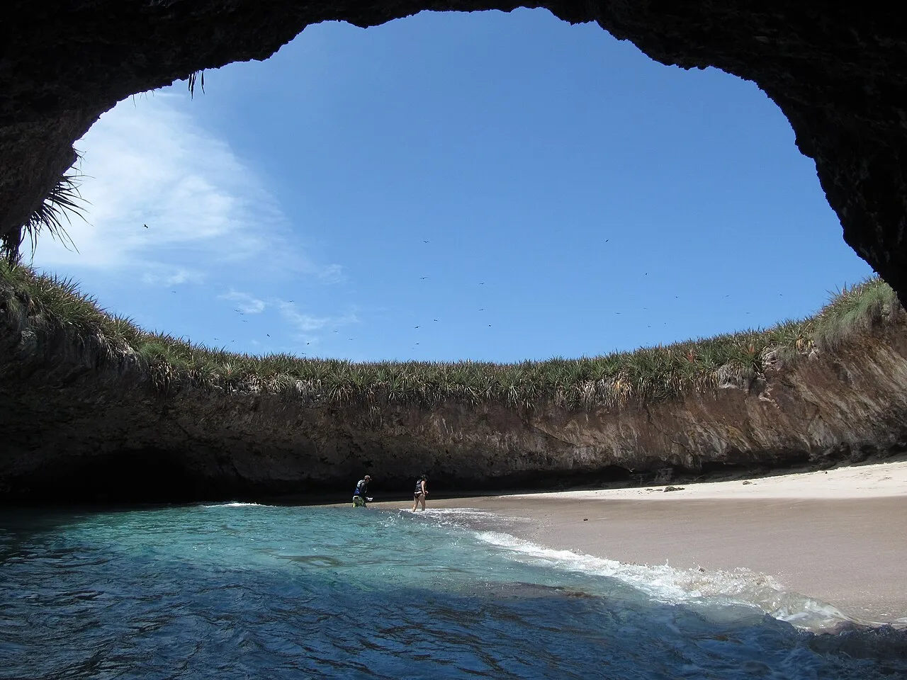
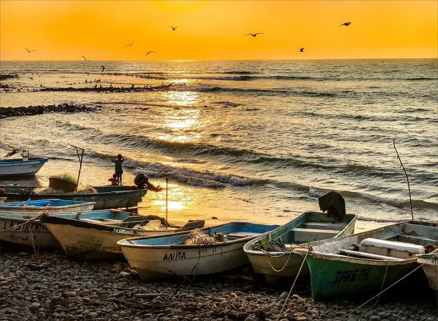
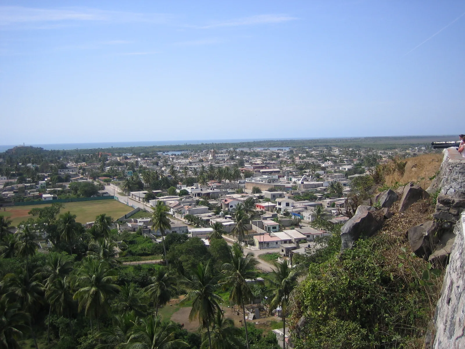
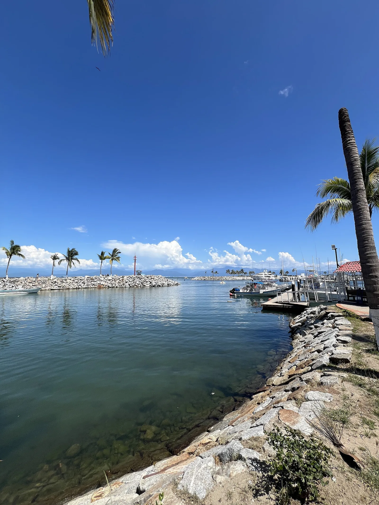
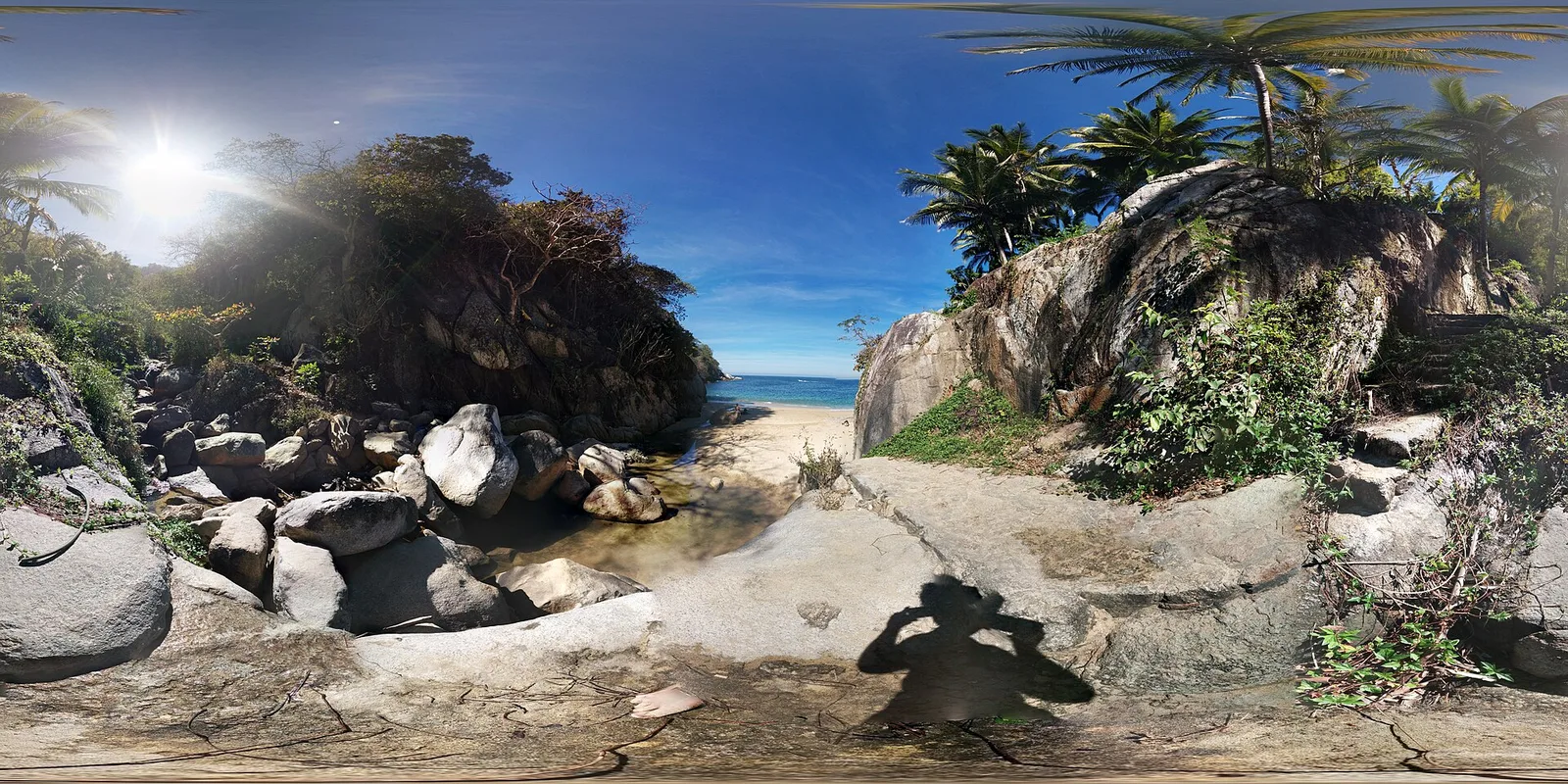
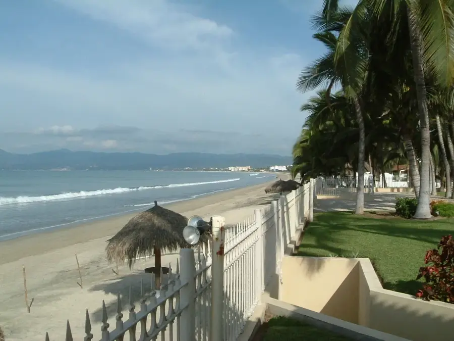
The Marietas Islands are a group of small, uninhabited volcanic islands located a few miles off the coast of Punta de Mita in Nayarit. They are famous worldwide for the 'Playa del Amor,' also known as the Hidden Beach, which is a remarkable sandy cavern with a massive open-air roof created by volcanic activity and erosion. The islands are a protected national park and a UNESCO Biosphere Reserve, serving as an important nesting site for over 90 species of birds, including the rare blue-footed booby. The surrounding waters are part of a thriving marine reserve, offering exceptional snorkeling and diving opportunities where visitors can see giant mantas, sea turtles, and a variety of colorful tropical fish. During the winter months, the area around the islands is a prime spot for whale watching, as humpback whales congregate in the Bay of Banderas to mate and give birth. To protect the delicate ecosystem, the number of visitors is strictly limited, and access to the Hidden Beach requires swimming through a short tunnel at low tide.
- Location: Mexico
- Top sights: Playa del amor · Snorkelling · Hidden Beach
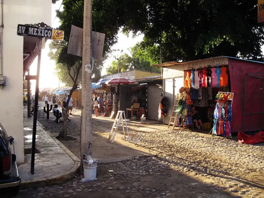
- Nearby: Punta Mita (5 km)
Best time to visit & climate
The most pleasant time to visit is Jan, Mar, Apr.
| Jan | Feb | Mar | Apr | May | Jun | Jul | Aug | Sep | Oct | Nov | Dec | |
|---|---|---|---|---|---|---|---|---|---|---|---|---|
| Avg °C | 24 | 23 | 24 | 25 | 26 | 27 | 28 | 28 | 28 | 28 | 26 | 24 |
| Rain mm | 20 | 35 | 15 | 1 | 10 | 140 | 331 | 377 | 362 | 153 | 38 | 25 |
📋 Practical info
Geography
Facts
- In the early 20th century, the islands were used as a military testing ground, which contributed to some of their unique rock formations.
- Jacques Cousteau led a campaign in the 1960s to protect the islands from further military and industrial use.
- The islands are home to one of the few colonies of blue-footed boobies outside of the Galápagos Islands.
- Access to the 'Hidden Beach' is limited to a specific number of people per day to prevent environmental degradation.
- The islands are part of the 'Islas del Golfo de California' UNESCO World Heritage site.
Explore nearby
Notable places around
Route planner — Car & Motorhome
Where do you start? We build the route here, with stops and country notes along the way.
© OpenStreetMap contributors · OpenRouteService
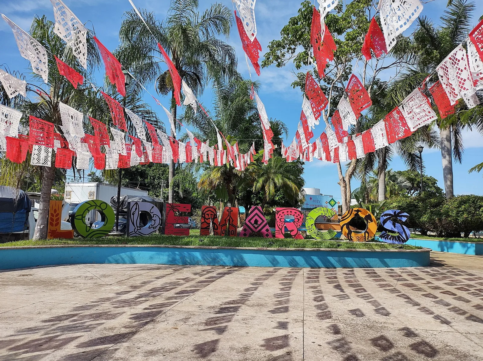
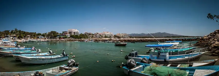
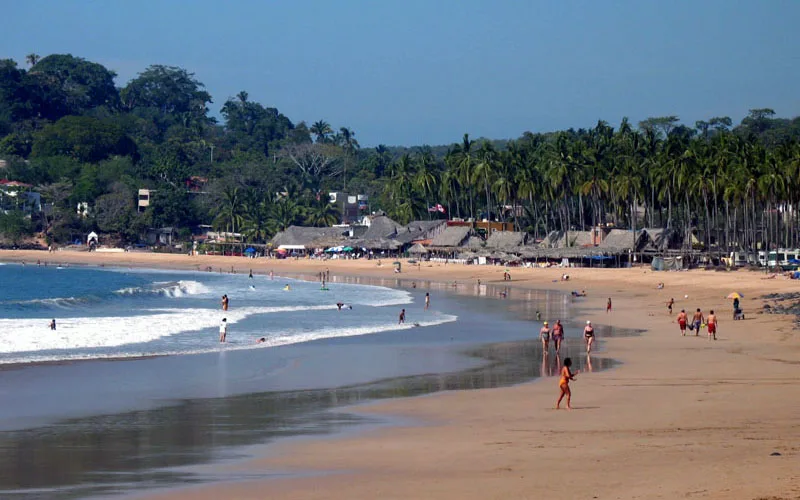
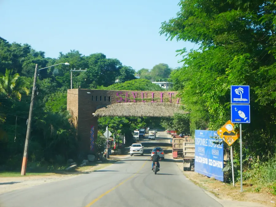
Sights in the town Marietas Islands (3)
Sights nearby
Frequently asked questions
How do I get to the hidden beach?
Do I need a permit?
Best time of year to visit?
Is snorkeling allowed there?
Can you visit the islands all year round?
Marietas Islands: where is it located?
Marietas Islands: what is there to see?
Marietas Islands: when is the best time to visit?
Marietas Islands: why is it worth visiting?

Nearby cities