Plizio Visual Lab
Sierra de Juárez
Weather…
Water temperature…
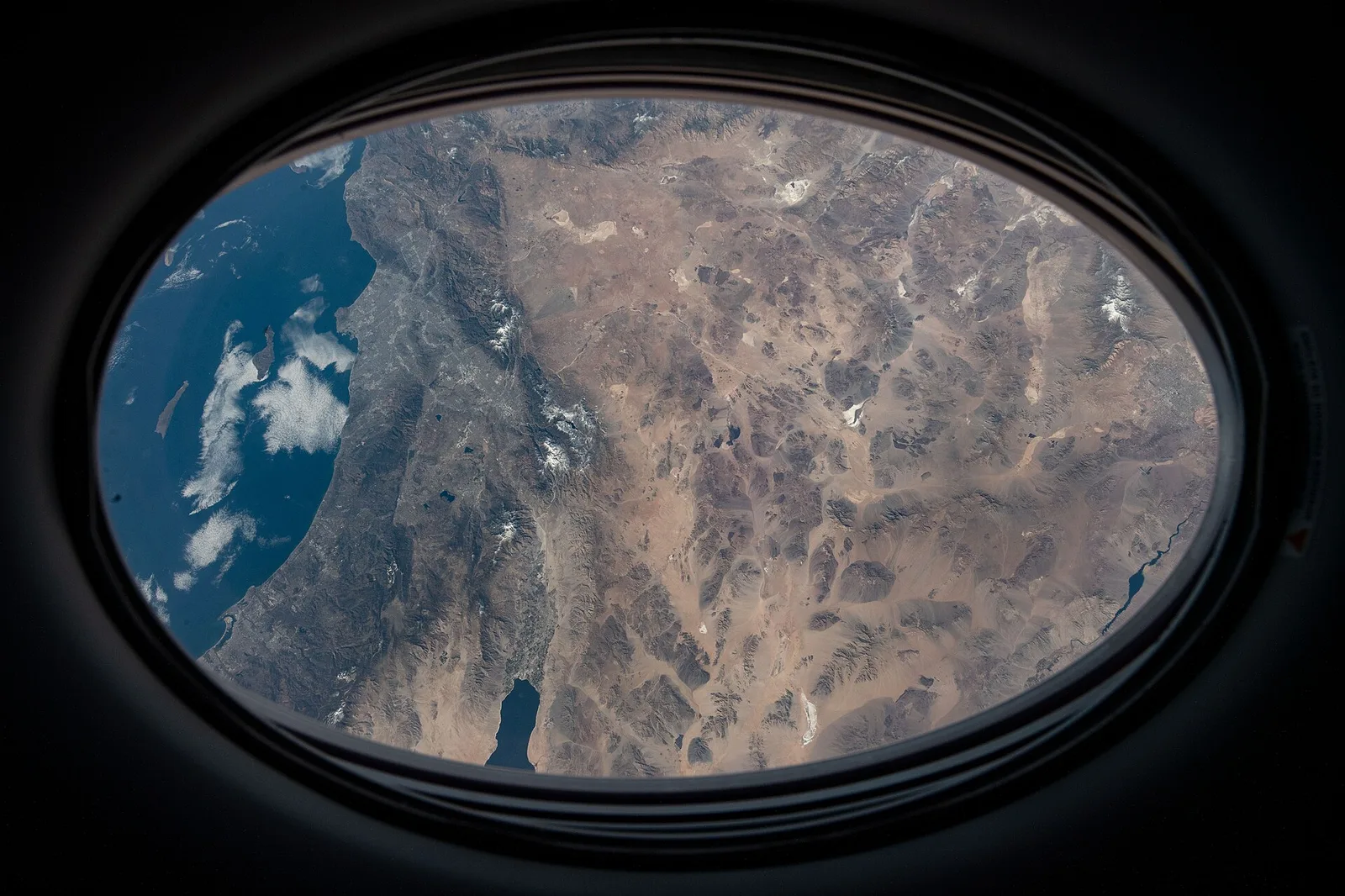
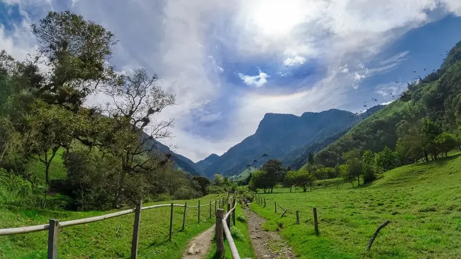
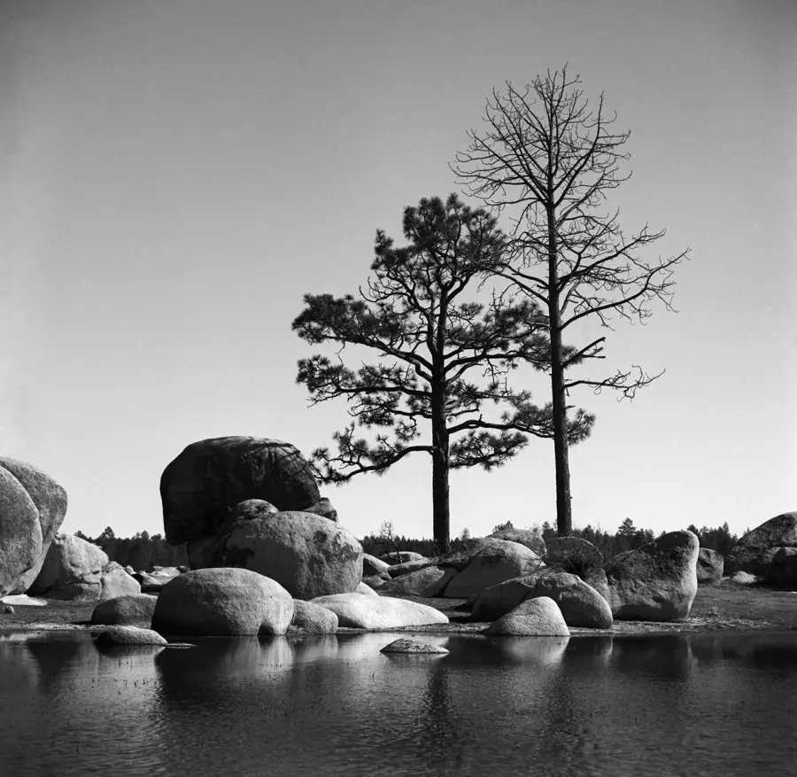
The Sierra de Juárez is a mountain range in the northern part of the Mexican state of Baja California, forming part of the Peninsular Ranges. Extending south from the United States border, it features a high plateau characterized by vast granite formations and extensive pine forests. The highest peak in the range is Cerro El Constanza, reaching an elevation of approximately 1,980 meters above sea level. A significant portion of the mountains is protected within the Constitución de 1857 National Park, which contains the Laguna de Juárez. The climate is markedly cooler than the surrounding desert lowlands, often leading to snowfall in the higher elevations during winter months. Geologically, the area is dominated by Mesozoic intrusive rocks that are part of the Baja California Batholith. The Sierra acts as a vital watershed for nearby urban centers such as Ensenada and Mexicali, providing essential water resources to the arid region.
- Location: Mexico
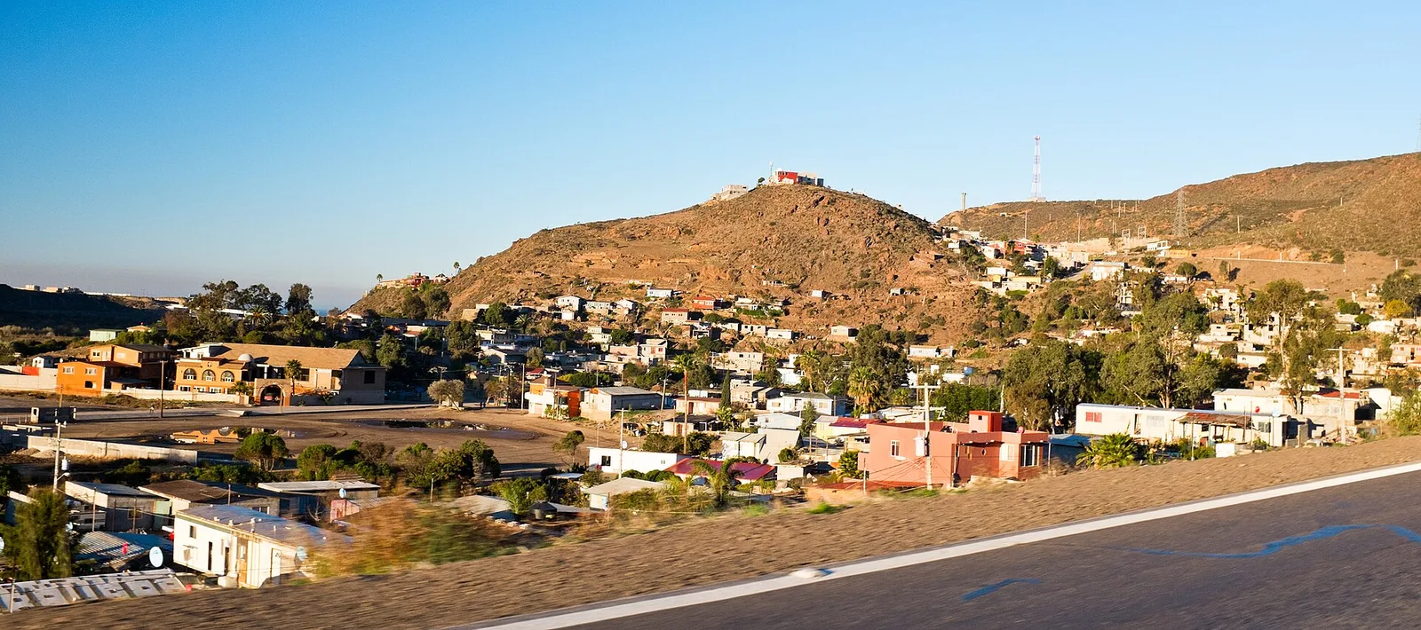
- Nearby: Rodolfo Sánchez Taboada (Maneadero) (86 km)
Best time to visit & climate
The most pleasant time to visit is Jun, Sep, Oct.
| Jan | Feb | Mar | Apr | May | Jun | Jul | Aug | Sep | Oct | Nov | Dec | |
|---|---|---|---|---|---|---|---|---|---|---|---|---|
| Avg °C | 9 | 10 | 12 | 14 | 17 | 22 | 26 | 26 | 23 | 18 | 13 | 9 |
| Rain mm | 31 | 48 | 25 | 13 | 5 | 6 | 4 | 5 | 7 | 13 | 21 | 43 |
📋 Practical info
Geography
Facts
- Highest peak is Cerro El Constanza at 1,980 meters.
- Includes the Constitución de 1857 National Park, established in 1962.
- Features the Laguna de Juárez, an intermittent mountain lake.
- Dominated by a large Cretaceous-era granitic batholith.
- One of the few places in Baja California that sees regular snow.
- Part of the broader Peninsular Ranges that extend into California.
Explore nearby
Notable places around
Route planner — Car & Motorhome
Where do you start? We build the route here, with stops and country notes along the way.
© OpenStreetMap contributors · OpenRouteService
Sights nearby
Frequently asked questions
Where is the Sierra de Juárez?
Is hiking allowed?
Is there snow there?
Are the trails marked?
Can you camp there?
Sierra de Juárez: where is it located?
Sierra de Juárez: when is the best time to visit?
Sierra de Juárez: why is it worth visiting?

Nearby cities