Plizio Visual Lab
Mount Korbu
Weather…
Water temperature…
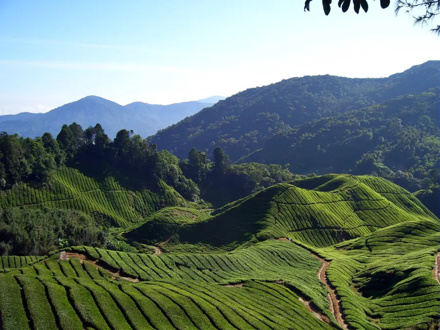
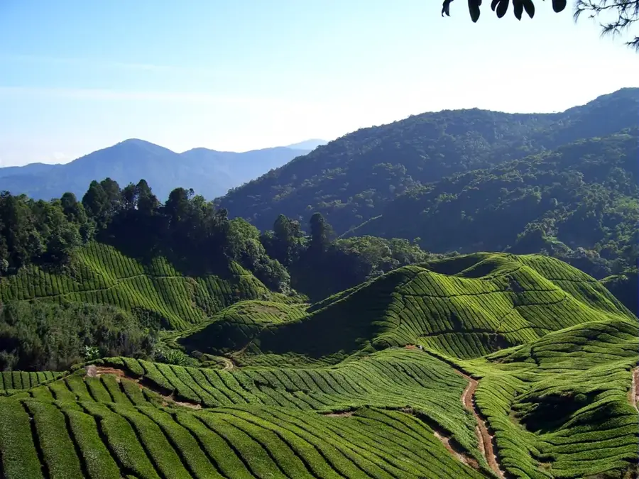
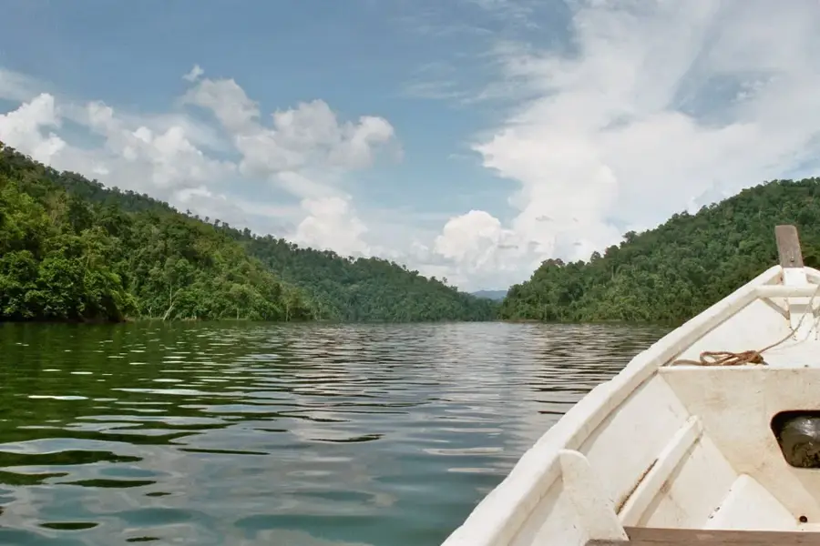
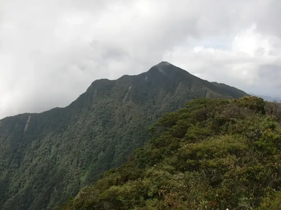
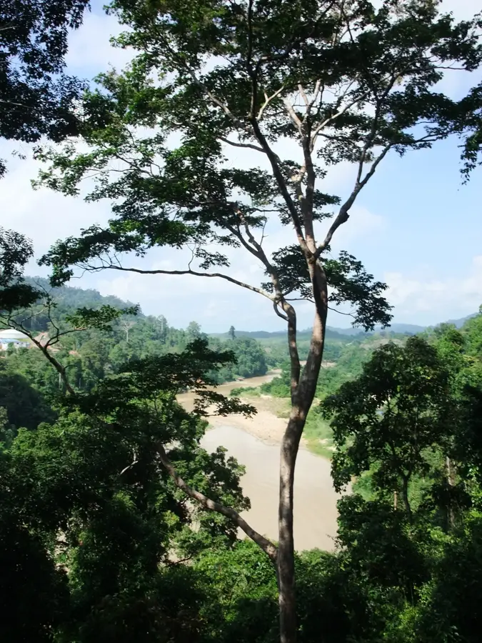
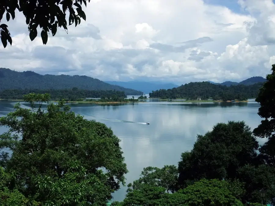
Mount Korbu, locally known as Gunung Korbu, stands at 2,183 meters and is the second-highest peak in Peninsular Malaysia and the highest point of the Titiwangsa Range. Located in the state of Perak, about 25 kilometers east of Ipoh, it is a prominent member of the G7, the group of seven Malaysian peaks exceeding 2,000 meters. Geologically, the massif is primarily composed of granite and forms part of the central mountain spine of the peninsula. The mountain is blanketed in primary montane rainforest, hosting an immense variety of endemic plants, mosses, and rare orchids. Due to its remoteness and the absence of mechanical access, climbing Korbu is regarded as one of the most demanding physical challenges for mountaineers in Southeast Asia. The surrounding Ulu Kinta Forest Reserve is a vital water catchment area, securing the water supply for the populous Kinta Valley. Historically, the region served as a traditional territory for the Orang Asli indigenous people, specifically the Senoi group, who possess deep ancestral knowledge of the mountain's trails and ecology.
- Location: Malaysia
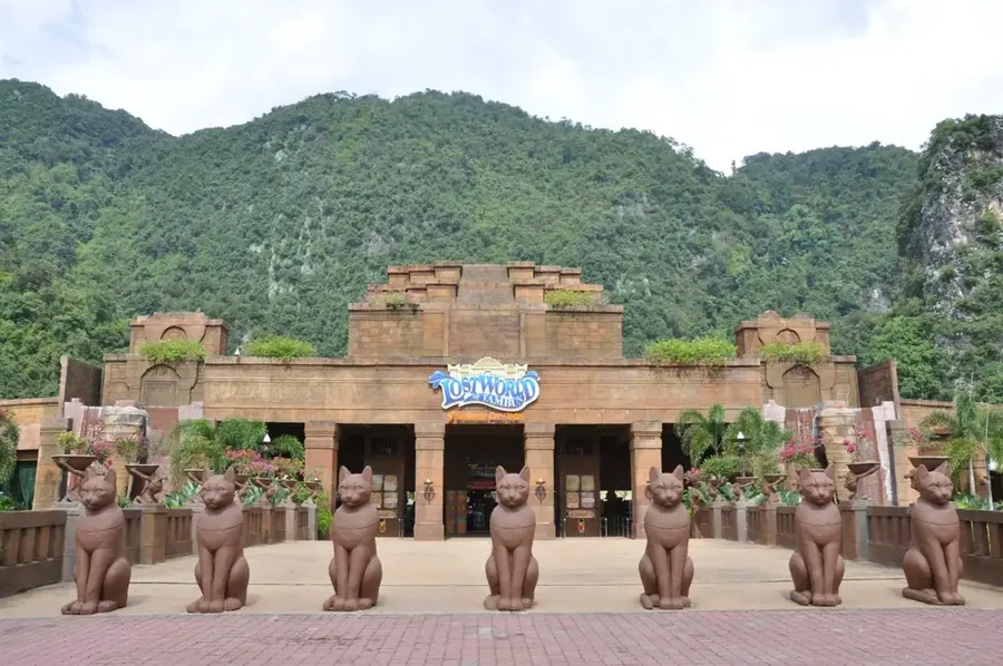
- Top sights: Gunung Jasar · Gunung Pass · Gunung Chalil
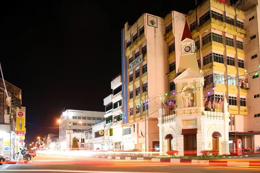
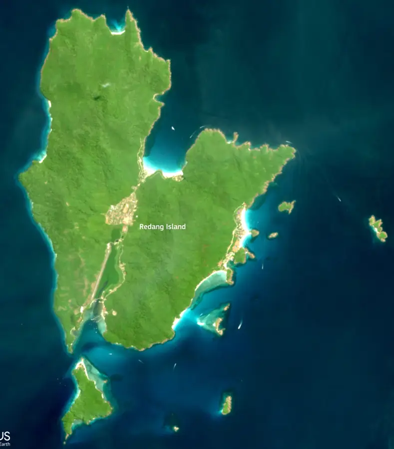
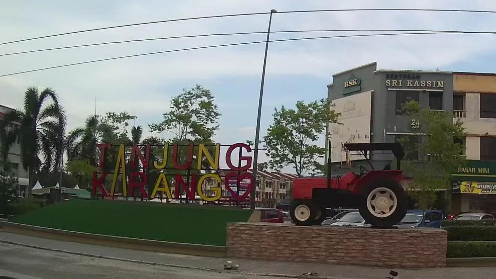
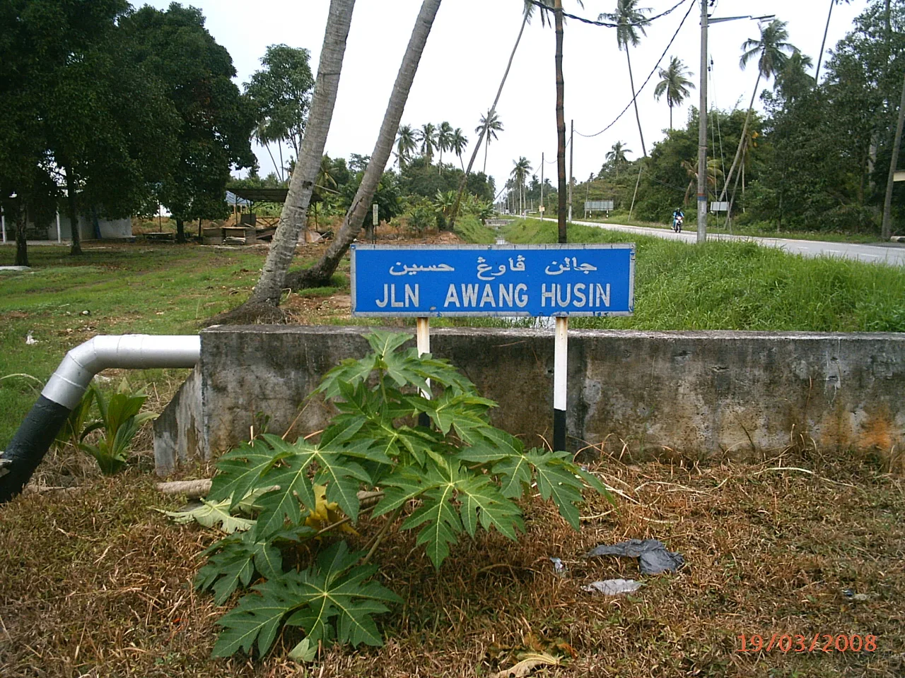
- Nearby: Tanjong Karang (31 km)
Best time to visit & climate
The most pleasant time to visit is Feb, Jun, Jul.
| Jan | Feb | Mar | Apr | May | Jun | Jul | Aug | Sep | Oct | Nov | Dec | |
|---|---|---|---|---|---|---|---|---|---|---|---|---|
| Avg °C | 23 | 23 | 24 | 24 | 24 | 24 | 24 | 24 | 23 | 23 | 23 | 23 |
| Rain mm | 210 | 117 | 175 | 201 | 185 | 134 | 146 | 167 | 198 | 289 | 329 | 320 |
📋 Practical info
Geography
Facts
- Standing at 2,183 meters, the second highest in Peninsular Malaysia.
- The highest peak within the entire Titiwangsa Range.
- One of the G7 peaks (Malaysia's seven highest mountains).
- Geologically composed mainly of ancient granite formations.
- Located within the protected Ulu Kinta Forest Reserve.
- Crucial water catchment area for the Kinta Valley region.
Explore nearby
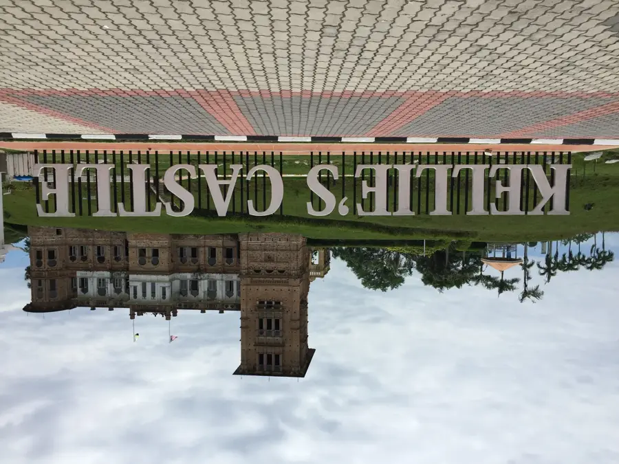
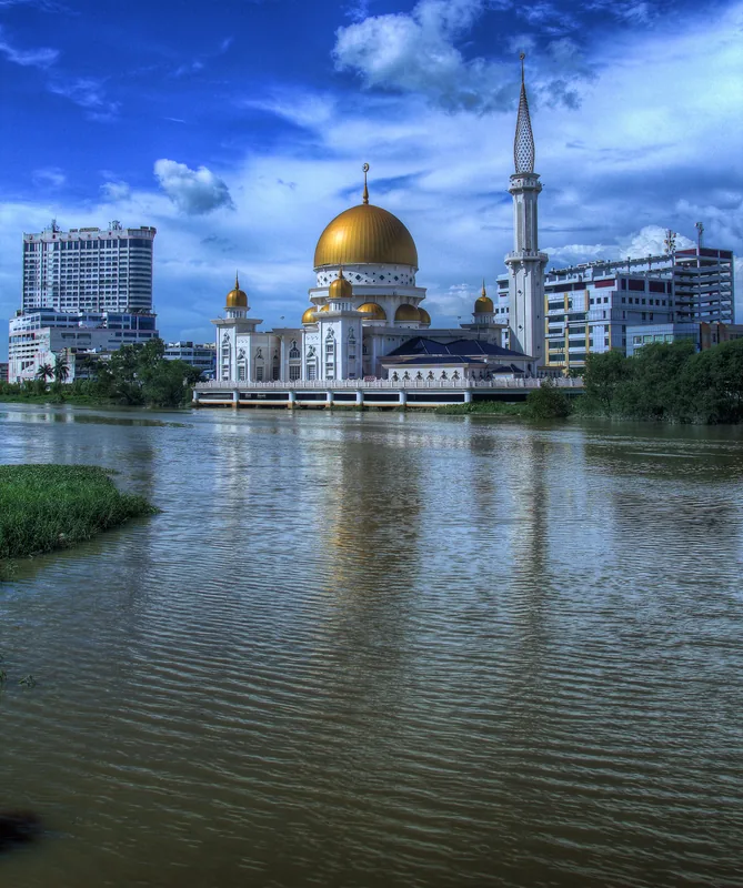
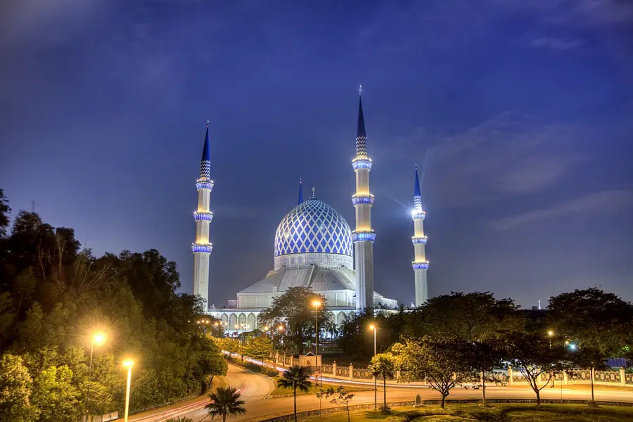
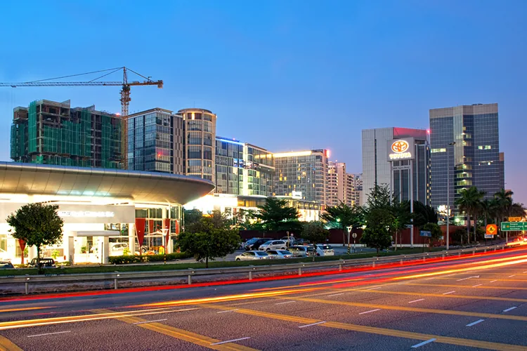
Notable places around
Route planner — Car & Motorhome
Where do you start? We build the route here, with stops and country notes along the way.
© OpenStreetMap contributors · OpenRouteService
Sights in the town Mount Korbu (3)
Sights nearby
Frequently asked questions
Is Korbu suitable for beginners?
Must I book a guide?
How long is the tour?
What is important for preparation?
When is the best time?
Mount Korbu: where is it located?
Mount Korbu: what is there to see?
Mount Korbu: when is the best time to visit?
Mount Korbu: why is it worth visiting?

Nearby cities

More places