Plizio Visual Lab
Bull Head Mountain
Weather…
Water temperature…
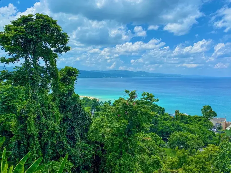
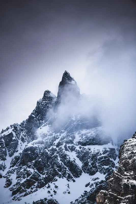
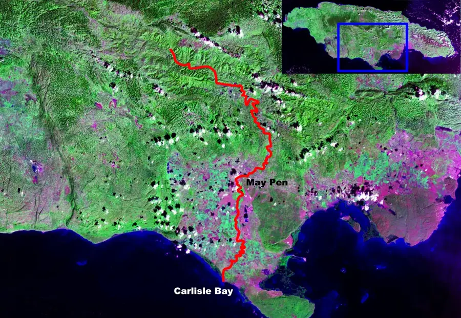
Bull Head Mountain is located in the parish of Clarendon and is widely recognized as the official geographic center of Jamaica. Rising to a peak of approximately 854 meters (2,802 feet) above sea level, it serves as a prominent landmark in the island's central interior. The mountain is geologically distinct, featuring volcanic rock formations that contrast with the widespread limestone plateaus found elsewhere across the island. As a designated forest reserve, the area provides a critical sanctuary for endemic flora and various bird species, including the Jamaican Doctor Bird. Extensive reforestation efforts have been undertaken in recent years to restore the tropical canopy following historical clearing for agriculture. Today, it remains a vital site for ecological study and has hikers wide-open views of the lush Jamaican countryside from its summit.
- Location: Jamaica
- Top sights: Area codes 876 and 658 · Jamaica · Colony of Santiago
- Nearby: Runaway Bay (9 km)
Best time to visit & climate
The most pleasant time to visit is Jan–Mar.
| Jan | Feb | Mar | Apr | May | Jun | Jul | Aug | Sep | Oct | Nov | Dec | |
|---|---|---|---|---|---|---|---|---|---|---|---|---|
| Avg °C | 25 | 26 | 26 | 27 | 28 | 27 | 28 | 28 | 28 | 27 | 26 | 26 |
| Rain mm | 43 | 23 | 36 | 51 | 127 | 91 | 69 | 95 | 128 | 162 | 92 | 49 |
📋 Practical info
Geography
Facts
- The summit reaches an elevation of 854 meters (2,802 feet).
- It is identified as the exact geographical center of Jamaica.
- The area is protected under the National Forest Reserve status.
- The geological composition is primarily Cretaceous volcanic rock.
- Over 20 species of endemic birds are found within the reserve.
- Significant reforestation projects began in the area during the 1960s.
Explore nearby
Notable places around
Route planner — Car & Motorhome
Where do you start? We build the route here, with stops and country notes along the way.
© OpenStreetMap contributors · OpenRouteService
Sights in the town Bull Head Mountain (3)
Sights nearby
Frequently asked questions
Why is Bull Head Mountain significant?
How difficult is the hike to the summit?
What can you see from the summit?
Are there dangerous animals there?
Is camping allowed there?
Bull Head Mountain: where is it located?
Bull Head Mountain: what is there to see?
Bull Head Mountain: when is the best time to visit?
Bull Head Mountain: why is it worth visiting?

Nearby cities
History & landmarks
Nature
More places