Plizio Visual Lab
Clarendon Hills

Weather…
Water temperature…
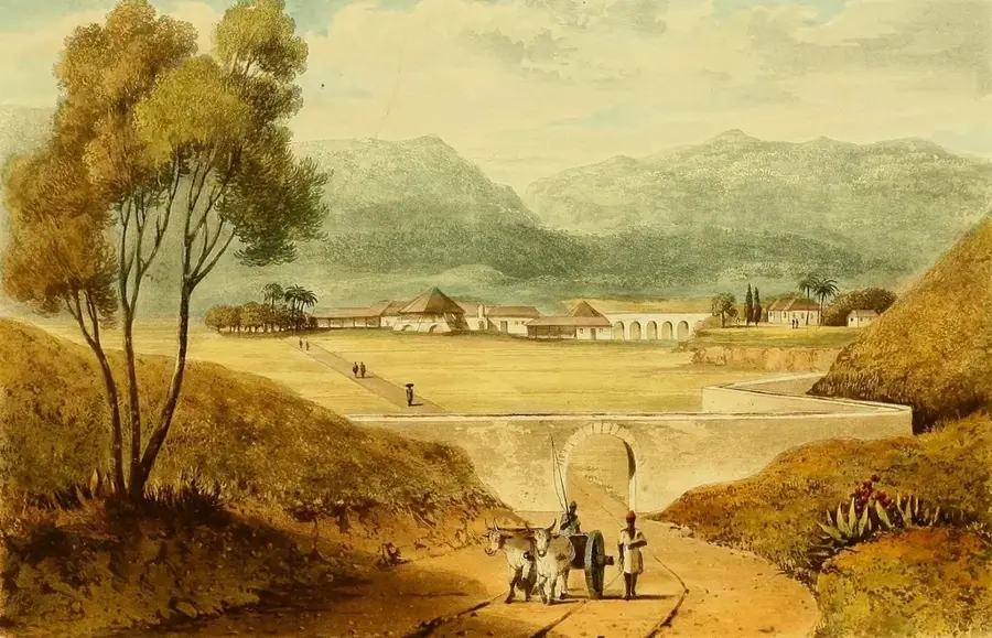
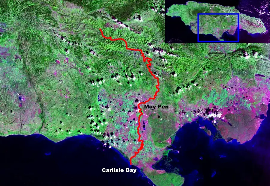
The Clarendon Hills are a hilly region in central Jamaica, distinguished by their fertile soils and complex geological composition. They form part of the Central Inlier, a geological window where ancient volcanic and metamorphic rocks are exposed beneath the island's limestone cover. This region is a vital agricultural heartland, renowned for the production of citrus fruits, sugarcane, and high-quality coffee. The undulating landscape, featuring a mix of gentle slopes and deep valleys, provides a diverse range of microclimates suitable for various crops. Geographically, the hills serve as the primary source for the Rio Minho, Jamaica's longest river, which begins its journey through the central plains here. Historically, the area was central to the plantation economy during British rule, and many legacy estates still define the social landscape of Clarendon Parish. The hills also possess significant mineral potential, with copper deposits having been surveyed as early as the mid-19th century. Today, the Clarendon Hills represent a balance between traditional farming practices and modern environmental conservation efforts.
- Location: Jamaica
- Nearby: Runaway Bay (12 km)
Best time to visit & climate
The most pleasant time to visit is Jan–Mar.
| Jan | Feb | Mar | Apr | May | Jun | Jul | Aug | Sep | Oct | Nov | Dec | |
|---|---|---|---|---|---|---|---|---|---|---|---|---|
| Avg °C | 25 | 26 | 26 | 27 | 28 | 27 | 28 | 28 | 28 | 27 | 26 | 26 |
| Rain mm | 43 | 23 | 36 | 51 | 127 | 91 | 69 | 95 | 128 | 162 | 92 | 49 |
📋 Practical info
Geography
Facts
- Situated in the central parish of Clarendon
- Part of the island's Central Geological Inlier
- Headwaters of the Rio Minho, Jamaica's longest river
- Major producer of citrus and sugarcane
- Known for copper mineral deposits
- Historically significant for 18th-century plantations
Explore nearby
Notable places around
Route planner — Car & Motorhome
Where do you start? We build the route here, with stops and country notes along the way.
© OpenStreetMap contributors · OpenRouteService
Sights in the town Clarendon Hills (1)
Sights nearby
Frequently asked questions
Where are the Clarendon Hills located?
What is the economic significance?
Are there tourist destinations there?
What is the geology like?
Are the roads good?
Clarendon Hills: where is it located?
Clarendon Hills: when is the best time to visit?
Clarendon Hills: why is it worth visiting?

Nearby cities
History & landmarks

Nature
More places