Plizio Visual Lab
Comeragh Mountains
Weather…
Water temperature…
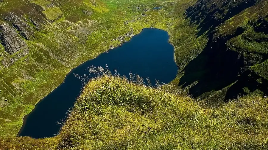
The Comeragh Mountains are a spectacular mountain massif in County Waterford, famous for their dramatic glacial landscapes. The range is composed of Old Red Sandstone shaped by massive glaciers during the last Ice Age. The highest peak is Fauscoum, which rises 792 meters above sea level. The most distinctive feature of the Comeraghs is the 13 deep corries (cirques), cut into the mountain flanks. The most famous of these lakes is Coumshingaun, a dark, deep lake enclosed by nearly vertical rock walls. Also well-known is Mahon Falls, an impressive waterfall that plunges over the eastern cliffs into the valley. The mountains provide habitat for a variety of wildlife, including feral goats and rare birds of prey. Hikers find a wild, untouched environment here that has both gentle walks and challenging climbing routes. The range remains one of Ireland's most impressive glacial legacies.
- Location: Ireland
- Top sights: Kilclooney Mountain · Coumfea · Knockaunapeebra
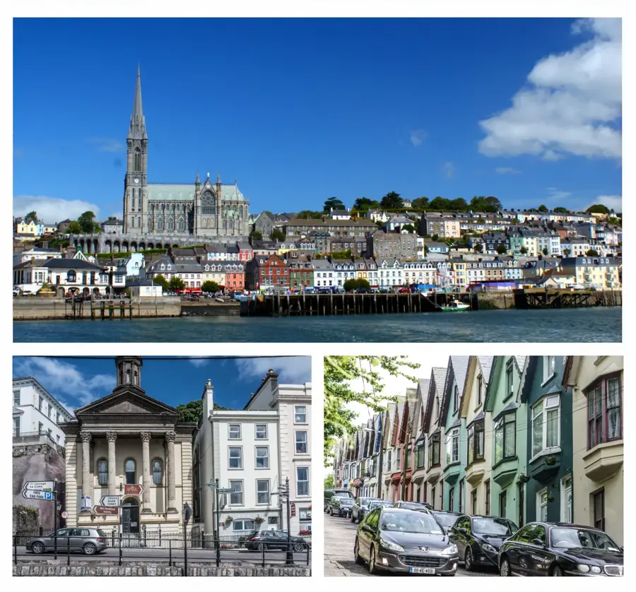
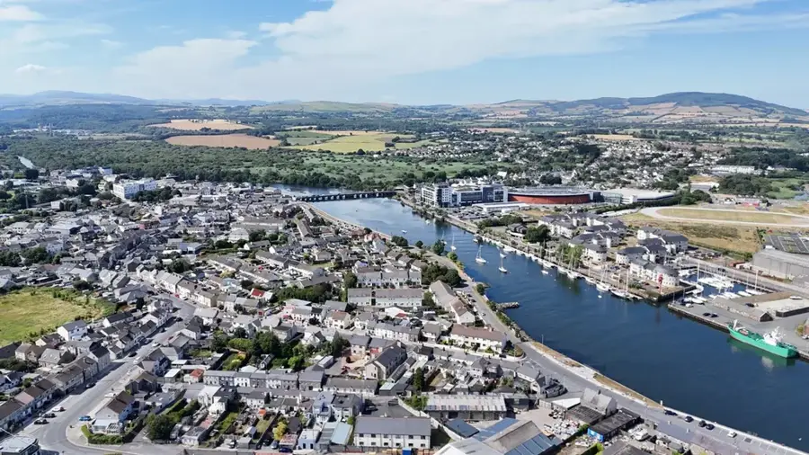
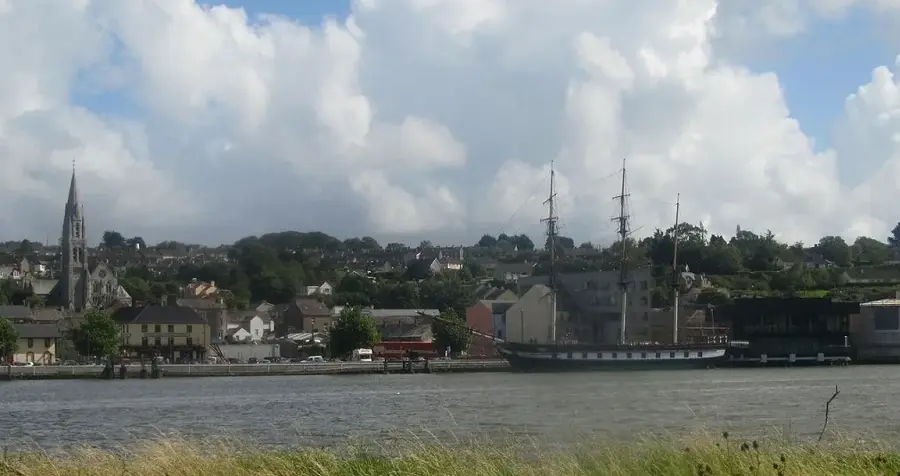
- Nearby: Stradbally (12 km)
Best time to visit & climate
The most pleasant time to visit is Jul–Sep.
| Jan | Feb | Mar | Apr | May | Jun | Jul | Aug | Sep | Oct | Nov | Dec | |
|---|---|---|---|---|---|---|---|---|---|---|---|---|
| Avg °C | 7 | 7 | 7 | 9 | 11 | 14 | 16 | 15 | 14 | 12 | 9 | 8 |
| Rain mm | 108 | 83 | 85 | 75 | 75 | 83 | 87 | 95 | 82 | 120 | 122 | 123 |
📋 Practical info
Geography
Facts
- Fauscoum is the highest elevation in the Comeragh Mountains at 792 meters.
- The massif contains 13 deep glacial corries or 'coums'.
- Coumshingaun is considered one of the best-formed corrie lakes in Ireland.
- The Mahon Falls plunge from a height of approximately 80 meters.
- A permanent population of feral goats lives within the mountains.
- The geology is primarily composed of Devonian Old Red Sandstone.
Explore nearby
Notable places around
Route planner — Car & Motorhome
Where do you start? We build the route here, with stops and country notes along the way.
© OpenStreetMap contributors · OpenRouteService
Sights in the town Comeragh Mountains (5)
Sights nearby
Frequently asked questions
Where are the Comeragh Mountains located?
What is the main attraction?
How high is the highest point?
Is Coumshingaun difficult to reach?
What is the 'Magic Road'?
Comeragh Mountains: where is it located?
Comeragh Mountains: what is there to see?
Comeragh Mountains: when is the best time to visit?
Comeragh Mountains: why is it worth visiting?

Nearby cities