Plizio Visual Lab
Barisan Mountains
Weather…
Water temperature…
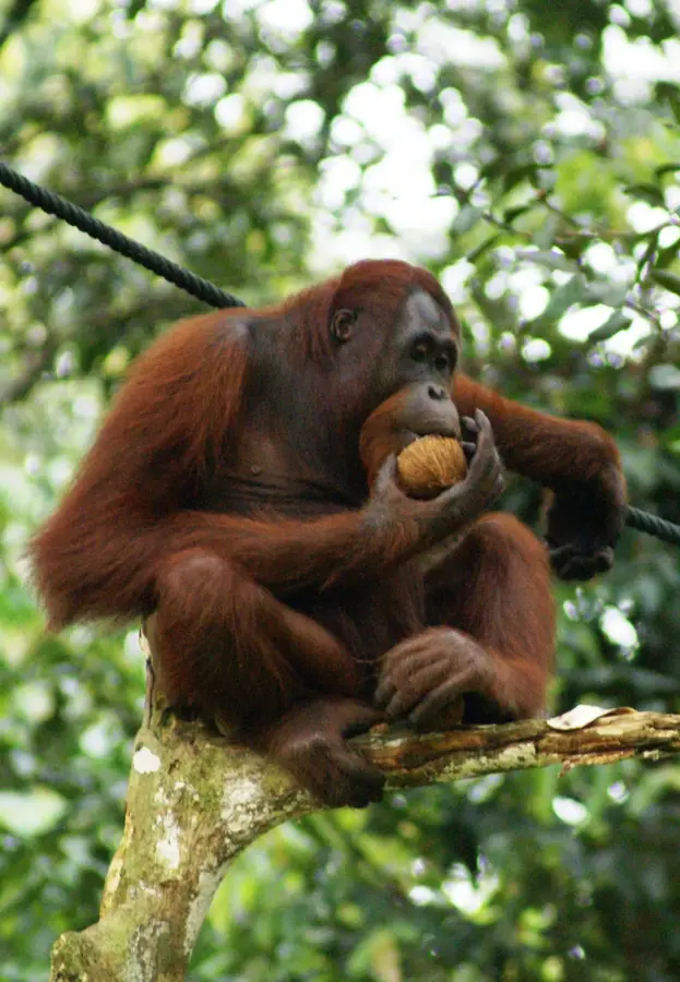
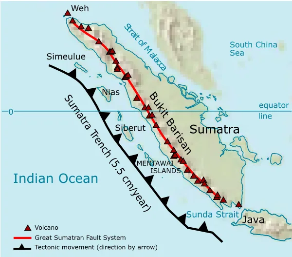
The Barisan Mountains form the rugged backbone of Sumatra, stretching for approximately 1,700 kilometers along the western side of the island. This mountain range resulted from the subduction of the Indo-Australian Plate beneath the Eurasian Plate, creating a landscape characterized by high seismic and volcanic activity. The range features dozens of active and dormant volcanoes, including Mount Kerinci, Sumatra's highest peak at 3,805 meters. These mountains host the 'Tropical Rainforest Heritage of Sumatra,' a UNESCO World Heritage site consisting of three national parks. These high-altitude forests provide critical habitat for endangered megafauna, such as the Sumatran rhinoceros, tiger, and orangutan. The range's difficult terrain has historically shaped the human geography of Sumatra, fostering distinct cultural identities within isolated highland valleys. Today, the region is also an important agricultural zone for coffee and tea production and a source of hydroelectric power.
📋 Practical info
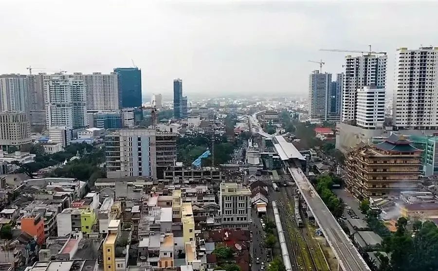
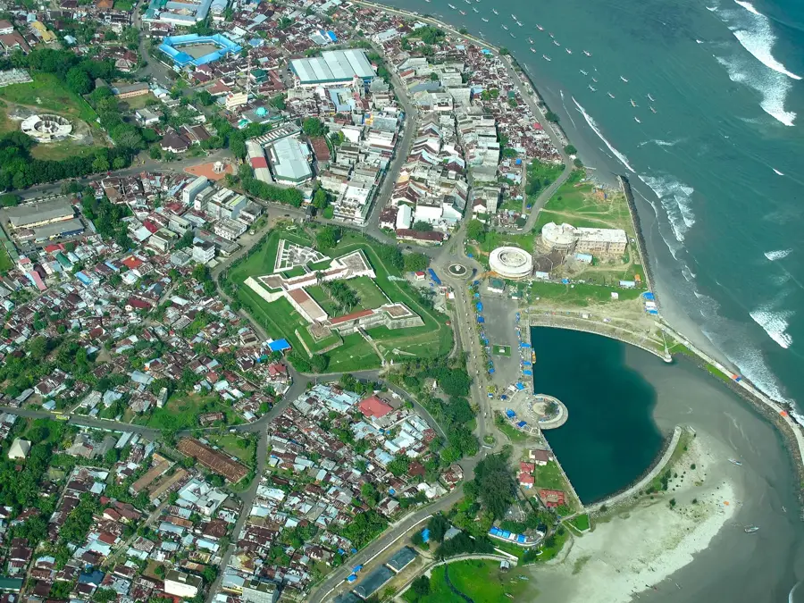
Geography
Facts
- The mountain range spans roughly 1,700 kilometers.
- The highest peak is Mount Kerinci at 3,805 meters.
- Contains 35 active volcanoes within the range.
- Designated a UNESCO World Heritage site in 2004.
- Runs parallel to the major Great Sumatran Fault.
- Serves as the watershed for most of Sumatra's major rivers.
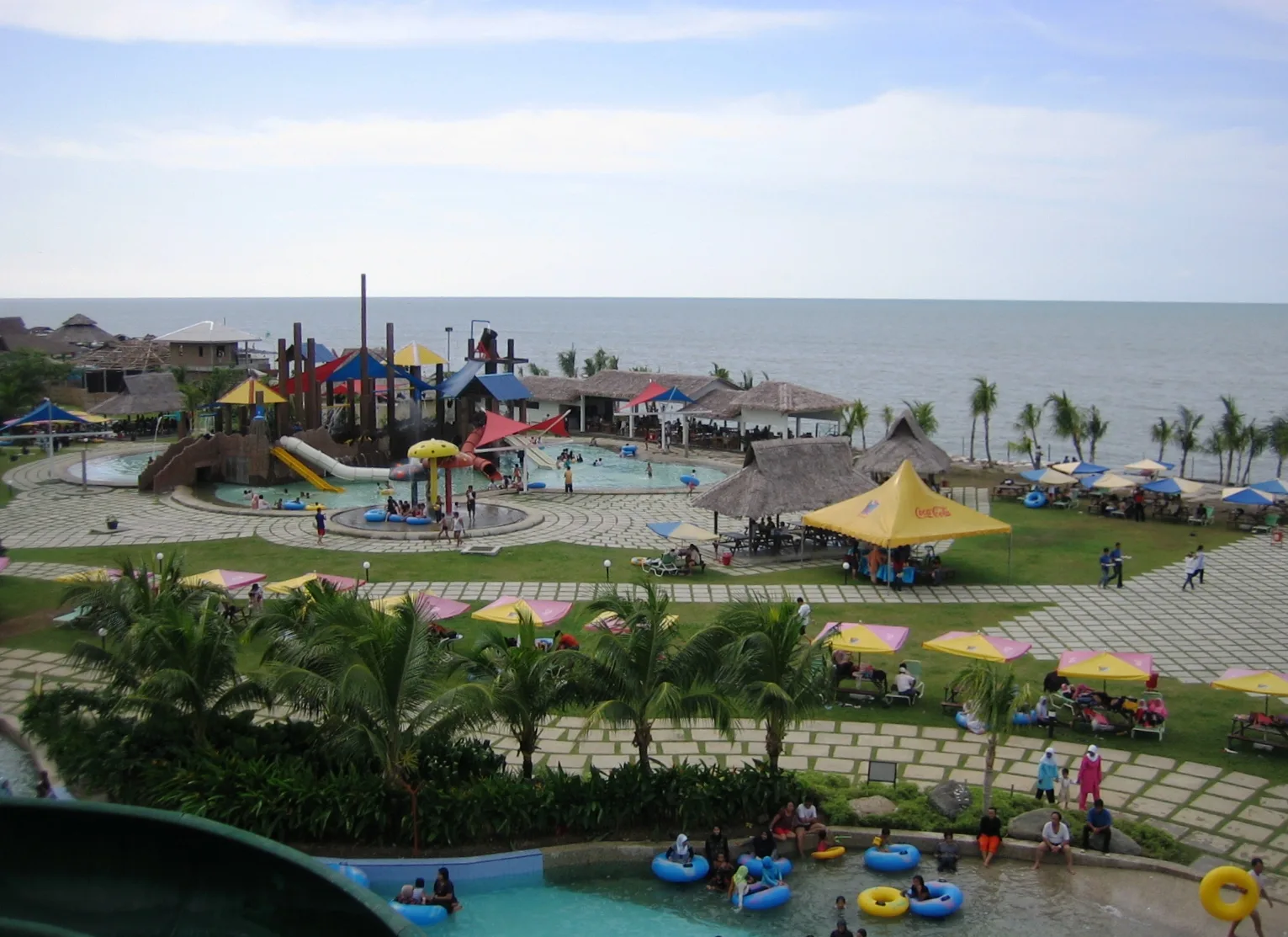
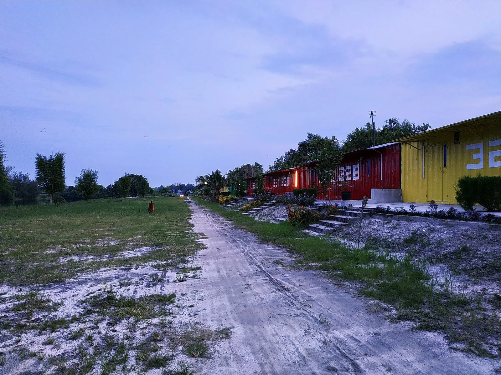
Explore nearby
Notable places around
Route planner — Car & Motorhome
Where do you start? We build the route here, with stops and country notes along the way.
© OpenStreetMap contributors · OpenRouteService
Sights in the town Barisan Mountains (1)
Sights nearby
Frequently asked questions
Where are the Barisan Mountains located?
What is the highest peak in the Barisan Mountains?
Are there national parks in the range?
What wildlife lives in the Barisan Mountains?
Is hiking possible in the Barisan Mountains?
Barisan Mountains: where is it located?
Barisan Mountains: why is it worth visiting?

Nearby cities
History & landmarks
More places