Plizio Visual Lab
Kerinci Seblat National Park
Weather…
Water temperature…
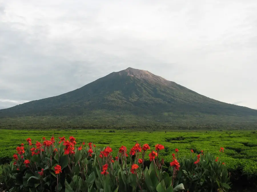
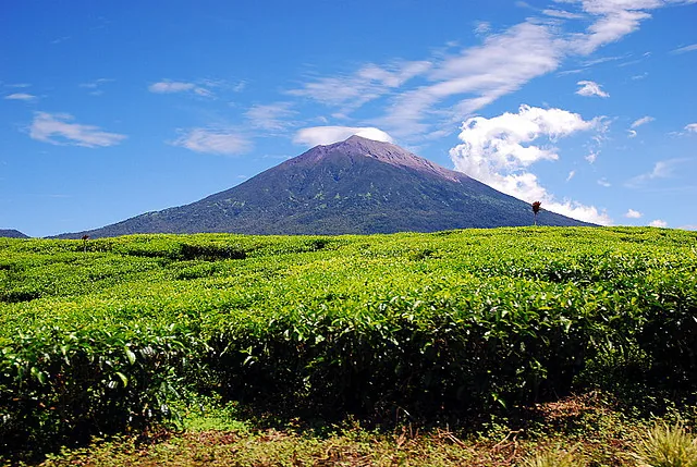
Kerinci Seblat National Park is the largest national park on the island of Sumatra, covering an area of approximately 13,750 square kilometers across four provinces. Established as a national park in 1982, it is a key component of the Tropical Rainforest Heritage of Sumatra, which was inscribed as a UNESCO World Heritage site in 2004. The park's terrain is dominated by the Barisan Mountains and includes Mount Kerinci, the highest volcano in Indonesia standing at 3,805 meters above sea level. This vast wilderness serves as one of the last strongholds for the critically endangered Sumatran tiger and provides a vital habitat for the Sumatran rhinoceros and the Sumatran elephant. The landscape is characterized by diverse ecosystems ranging from lowland forests to sub-alpine vegetation, hosting over 4,000 plant species including the world's largest flower, the Rafflesia arnoldii. Conservation efforts face challenges from illegal logging and encroachment.
Best time to visit & climate
The most pleasant time to visit is Jun–Aug.
| Jan | Feb | Mar | Apr | May | Jun | Jul | Aug | Sep | Oct | Nov | Dec | |
|---|---|---|---|---|---|---|---|---|---|---|---|---|
| Avg °C | 25 | 25 | 25 | 25 | 25 | 25 | 25 | 25 | 25 | 25 | 25 | 25 |
| Rain mm | 166 | 187 | 197 | 207 | 136 | 116 | 109 | 117 | 135 | 173 | 230 | 197 |
📋 Practical info
Geography
Facts
- It covers 1,375,000 hectares spanning West Sumatra, Jambi, Bengkulu, and South Sumatra.
- Mount Kerinci, located within the park, is the highest peak on Sumatra at 3,805 meters.
- The park is home to an estimated population of over 140 Sumatran tigers.
- UNESCO designated the park as part of a World Heritage Site in 2004.
- It contains Lake Gunung Tujuh, the highest volcanic lake in Southeast Asia at 1,996 meters.
- Scientists have documented more than 370 bird species within the park boundaries.
Explore nearby
Notable places around
Route planner — Car & Motorhome
Where do you start? We build the route here, with stops and country notes along the way.
© OpenStreetMap contributors · OpenRouteService
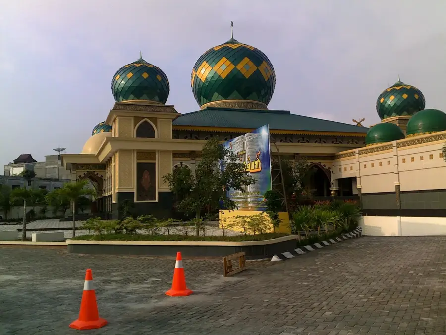
Sights in the town Kerinci Seblat National Park (1)
Sights nearby
Frequently asked questions
Are there tigers there?
Is trekking difficult?
Can you camp there?
How high is Mount Kerinci?
What is the Rafflesia?
Kerinci Seblat National Park: where is it located?
Kerinci Seblat National Park: when is the best time to visit?
Kerinci Seblat National Park: why is it worth visiting?