Plizio Visual Lab
Mount Tambora
Weather…
Water temperature…
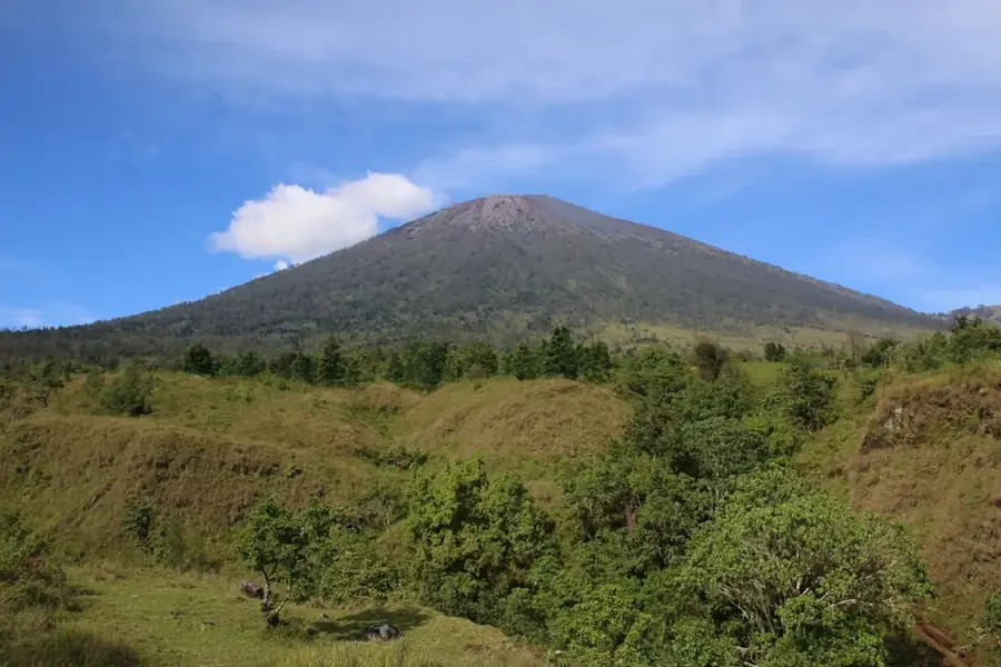
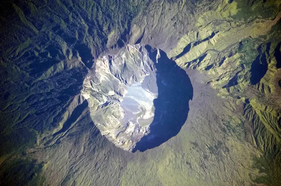
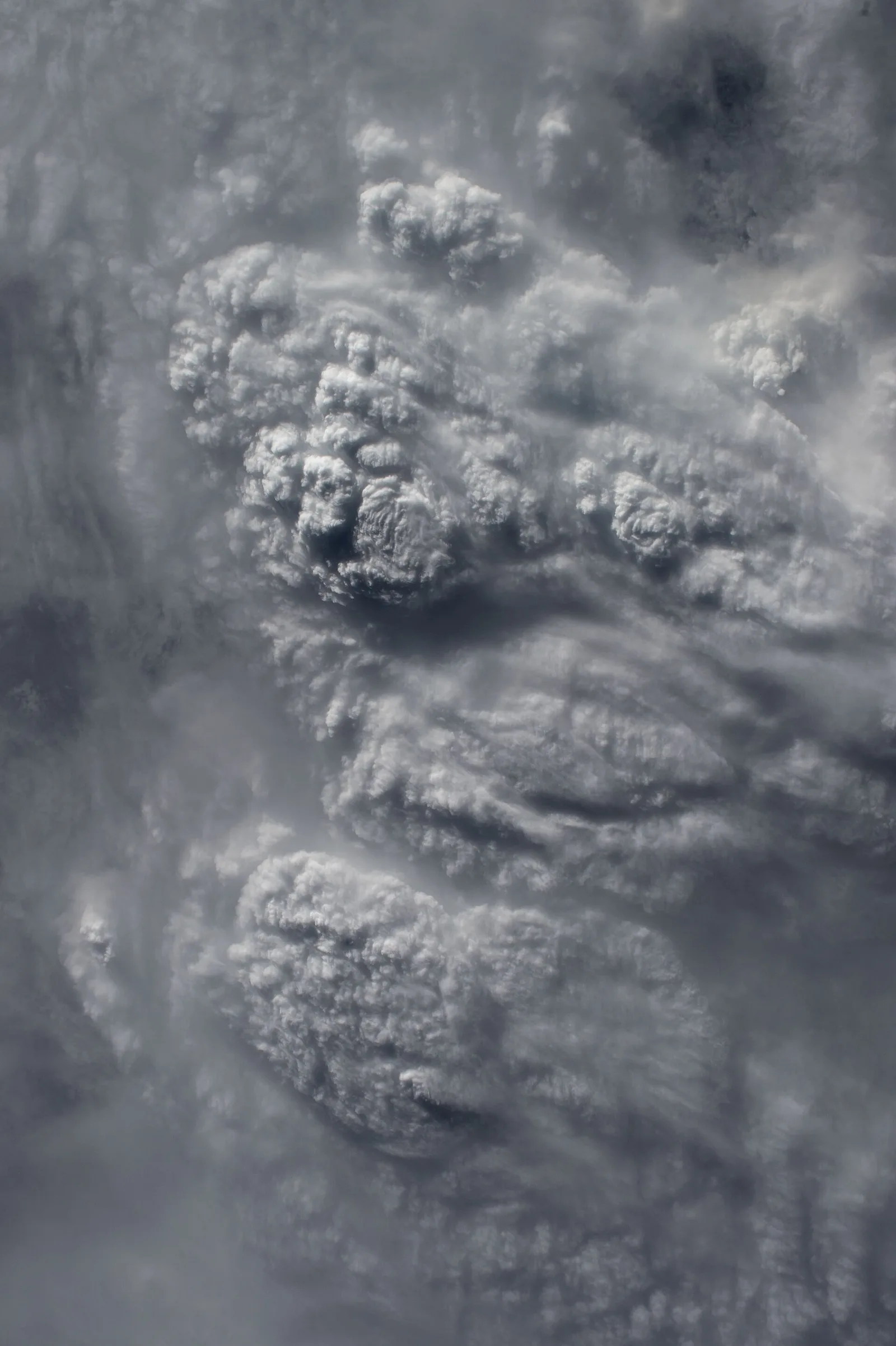
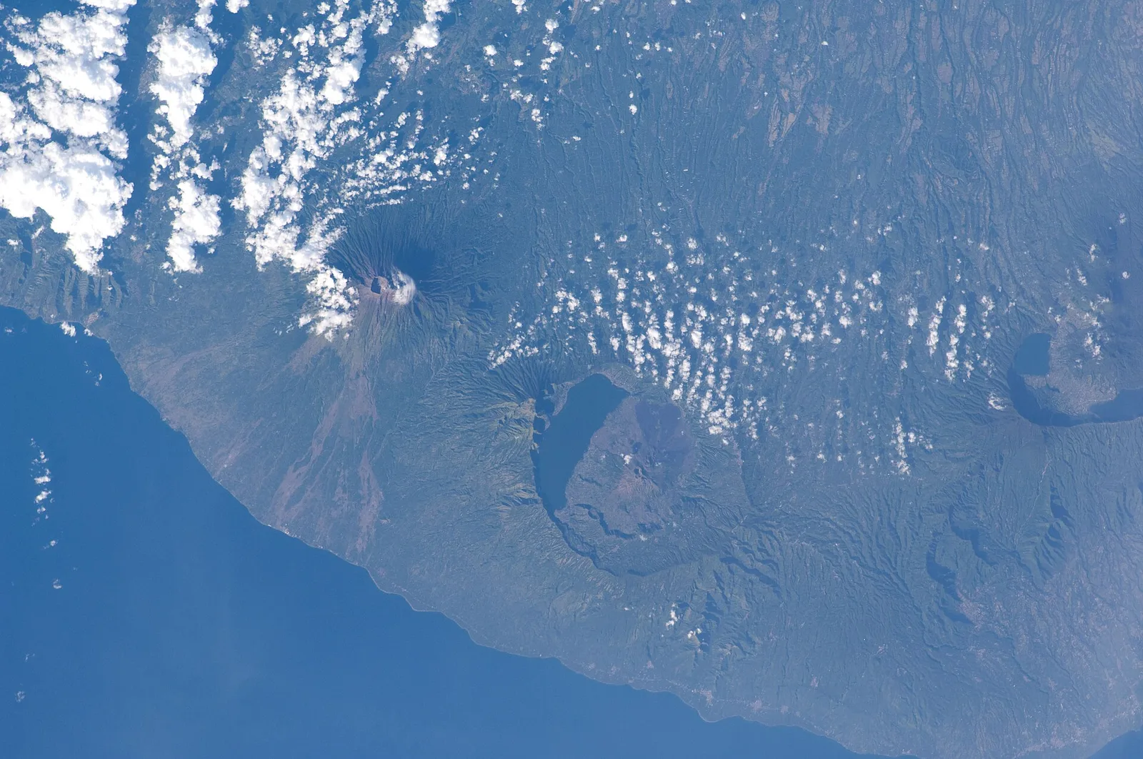
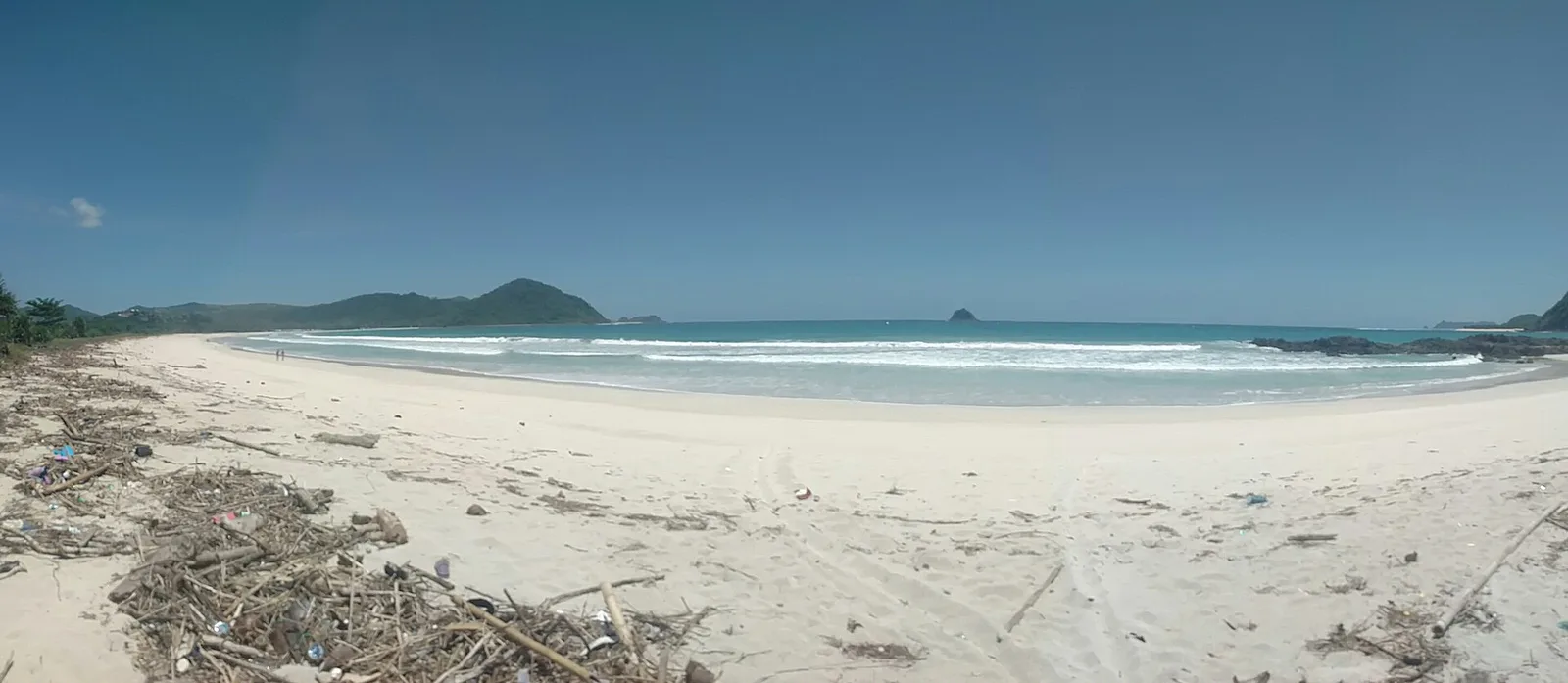
Mount Tambora on the Indonesian island of Sumbawa is notorious for the most powerful volcanic eruption in recorded human history, occurring in April 1815. Before this cataclysm, the mountain was one of the tallest in the Indonesian archipelago, estimated at over 4,300 meters, but the explosion blew off its top, leaving behind a massive caldera 7 kilometers wide and 1.1 kilometers deep. The eruption injected so much ash into the stratosphere that it caused a global climate cooling known as the 'Year Without a Summer' in 1816, leading to widespread harvest failures and famine in Europe and North America. Geologically, Tambora is a colossal stratovolcano whose current relief is defined by its shattered summit and the vast, barren ash plains surrounding the caldera. The disaster completely obliterated the Tambora kingdom, an event so absolute that archaeologists now refer to the buried remains as the 'Pompeii of the East.' Today, the volcano's lower slopes have returned to a lush state, but the interior of the caldera remains a desolate, volcanic wilderness. For modern adventurers, the trek to the rim gives a staggering perspective on the sheer power of geological forces that can alter the course of global history.
- Location: Indonesia
- Nearby: Sai (72 km)
Best time to visit & climate
The most pleasant time to visit is Jul–Sep.
| Jan | Feb | Mar | Apr | May | Jun | Jul | Aug | Sep | Oct | Nov | Dec | |
|---|---|---|---|---|---|---|---|---|---|---|---|---|
| Avg °C | 27 | 27 | 27 | 28 | 28 | 27 | 27 | 27 | 27 | 28 | 29 | 28 |
| Rain mm | 258 | 215 | 177 | 98 | 53 | 34 | 18 | 14 | 16 | 34 | 90 | 250 |
📋 Practical info
Geography
Facts
- Before the 1815 eruption, the mountain stood approximately 4,300 meters high.
- The current caldera is 7 kilometers wide and 1,100 meters deep.
- The 1815 event is the only VEI-7 eruption in modern history.
- Global temperatures dropped by 0.4–0.7 °C in the year following the eruption.
- Often called the 'Pompeii of the East' due to the buried Tambora civilization.
- Located on the Sanggar Peninsula of Sumbawa Island.
- The eruption released an estimated 160 cubic kilometers of tephra into the air.
Route planner — Car & Motorhome
Where do you start? We build the route here, with stops and country notes along the way.
© OpenStreetMap contributors · OpenRouteService
Sights in the town Mount Tambora (1)
Sights nearby
Frequently asked questions
How difficult is the climb to Tambora volcano?
When is the best time to visit Tambora?
Is camping allowed on the volcano?
Is there drinking water on the route?
Why is Tambora historically significant?
Mount Tambora: where is it located?
Mount Tambora: when is the best time to visit?
Mount Tambora: why is it worth visiting?

Nearby cities
More places