Plizio Visual Lab
Mount Rinjani
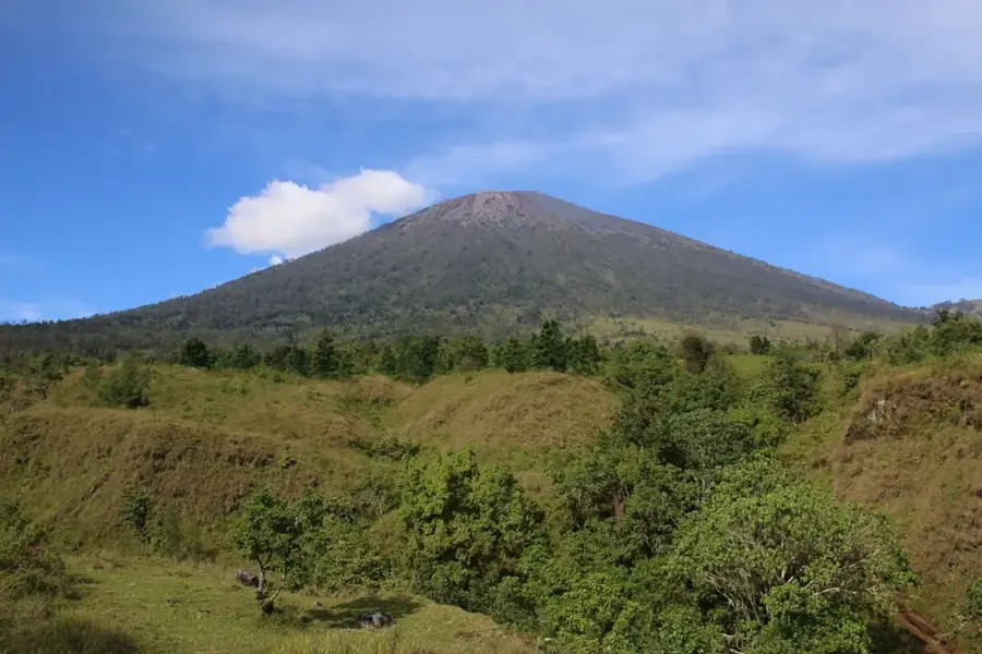
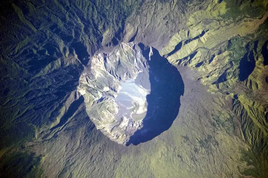
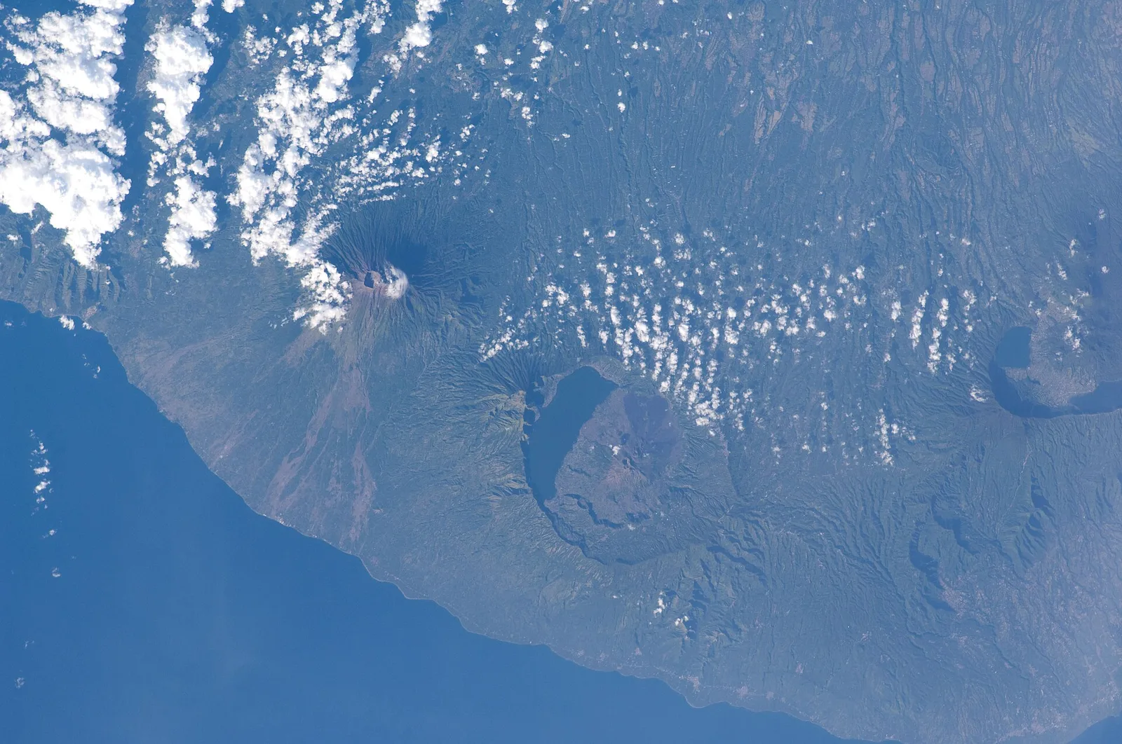
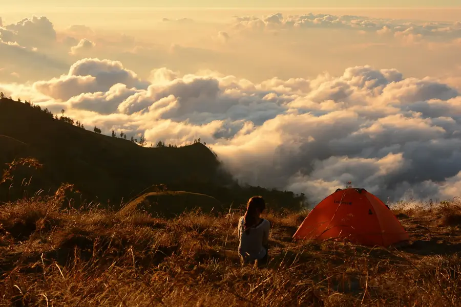
Mount Rinjani on the island of Lombok is the second highest volcano in Indonesia, standing at 3,726 meters, and holds significant spiritual importance for the local people. This active stratovolcano is situated within the Mount Rinjani National Park and is part of the Rinjani-Lombok UNESCO Global Geopark. Its most striking feature is the 6 by 8.5 kilometer wide caldera, which contains the deep blue Segara Anak lake at an elevation of 2,000 meters. Within the lake, a smaller, younger volcanic cone named Gunung Barujari has emerged from recent eruptions. Climbing to the summit is considered one of the most challenging yet rewarding treks in Southeast Asia, offering views as far as Mount Agung on Bali. The region is rich in thermal springs and waterfalls fed by volcanic activity.
- Location: Indonesia
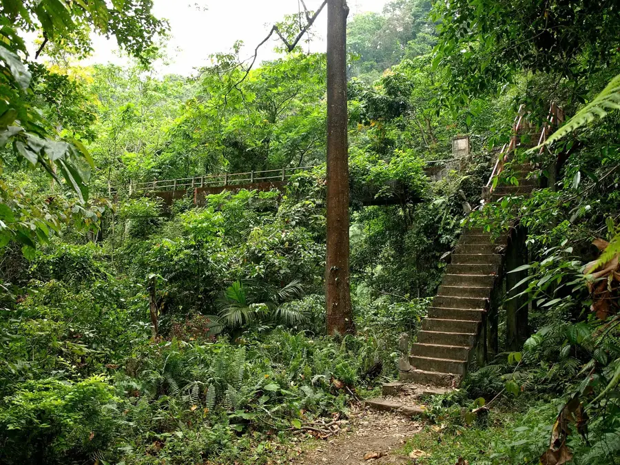
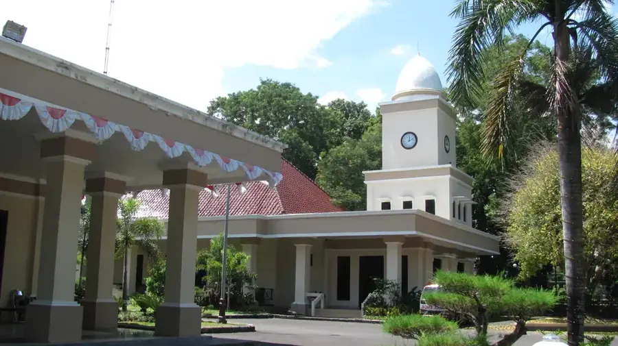
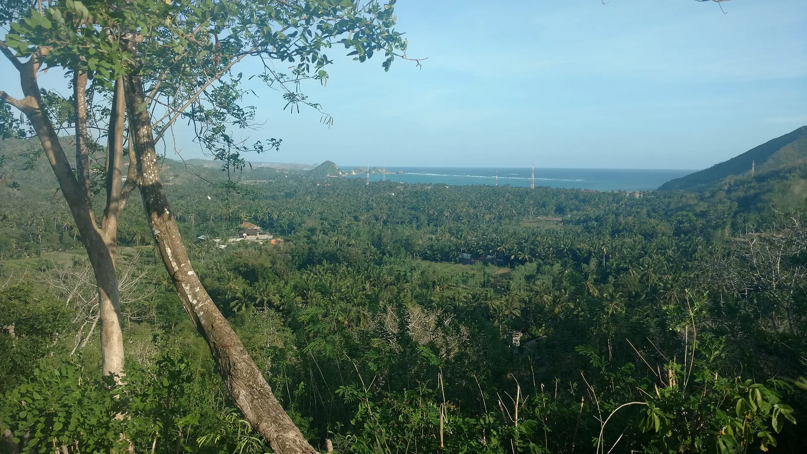
- Top sights: Starting point Pergasingan Mountain · Kebon strawberry Nazuha · Bukit Selong
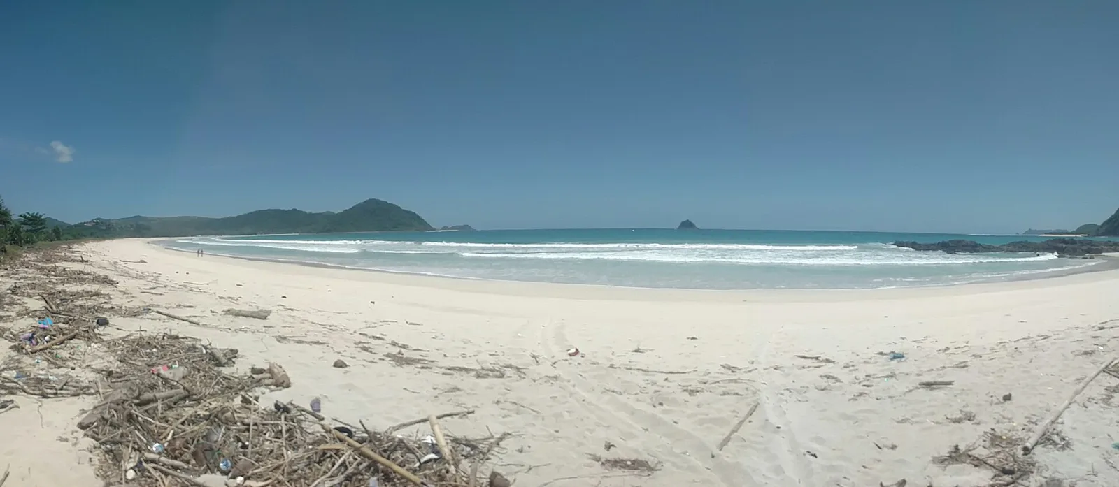
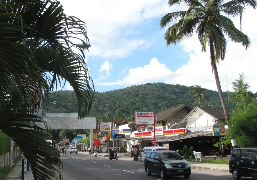
- Nearby: Lombok (20 km)
Best time to visit & climate
The most pleasant time to visit is Jun–Aug.
| Jan | Feb | Mar | Apr | May | Jun | Jul | Aug | Sep | Oct | Nov | Dec | |
|---|---|---|---|---|---|---|---|---|---|---|---|---|
| Avg °C | 26 | 26 | 27 | 27 | 26 | 26 | 25 | 25 | 26 | 27 | 28 | 27 |
| Rain mm | 289 | 240 | 206 | 125 | 83 | 40 | 28 | 11 | 39 | 65 | 175 | 284 |
📋 Practical info
Geography
Facts
- The summit reaches an elevation of 3,726 meters above sea level.
- The Segara Anak crater lake has a maximum depth of approximately 230 meters.
- The mountain was designated as a UNESCO Global Geopark in 2018.
- The most recent eruption of the inner cone, Gunung Barujari, occurred in 2016.
- The first recorded ascent by a European was by J. Zollinger in 1847.
- The national park covers a protected area of more than 41,000 hectares.
Explore nearby
Notable places around
Route planner — Car & Motorhome
Where do you start? We build the route here, with stops and country notes along the way.
© OpenStreetMap contributors · OpenRouteService
Sights in the town Mount Rinjani (6)
Sights nearby
Frequently asked questions
How long is the trek?
Is there a lake there?
Is a guide mandatory?
Is the path steep?
When is the season?
Mount Rinjani: where is it located?
Mount Rinjani: what is there to see?
Mount Rinjani: when is the best time to visit?
Mount Rinjani: why is it worth visiting?

Nearby cities

More places