Plizio Visual Lab
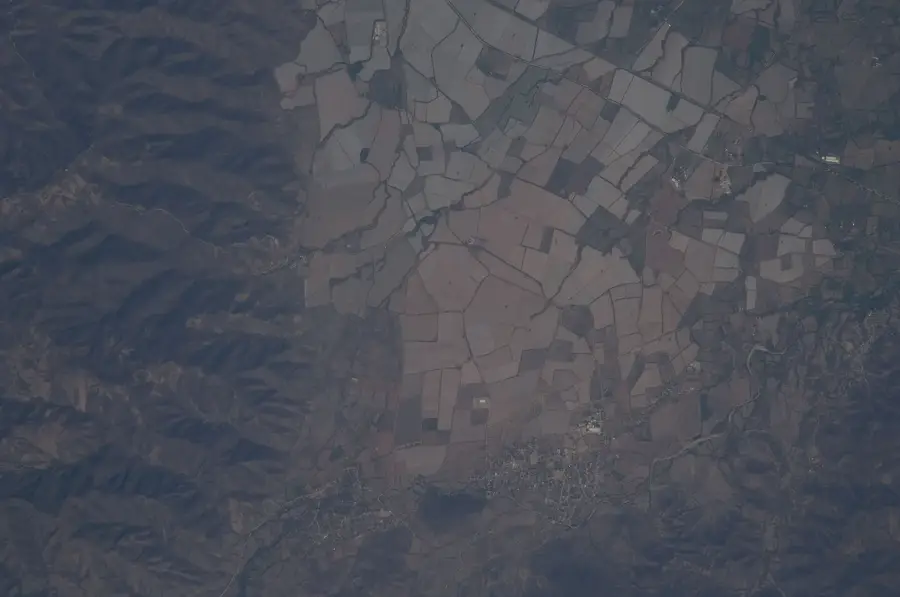
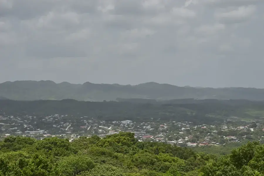
Cerro El Pital
Weather…
Water temperature…
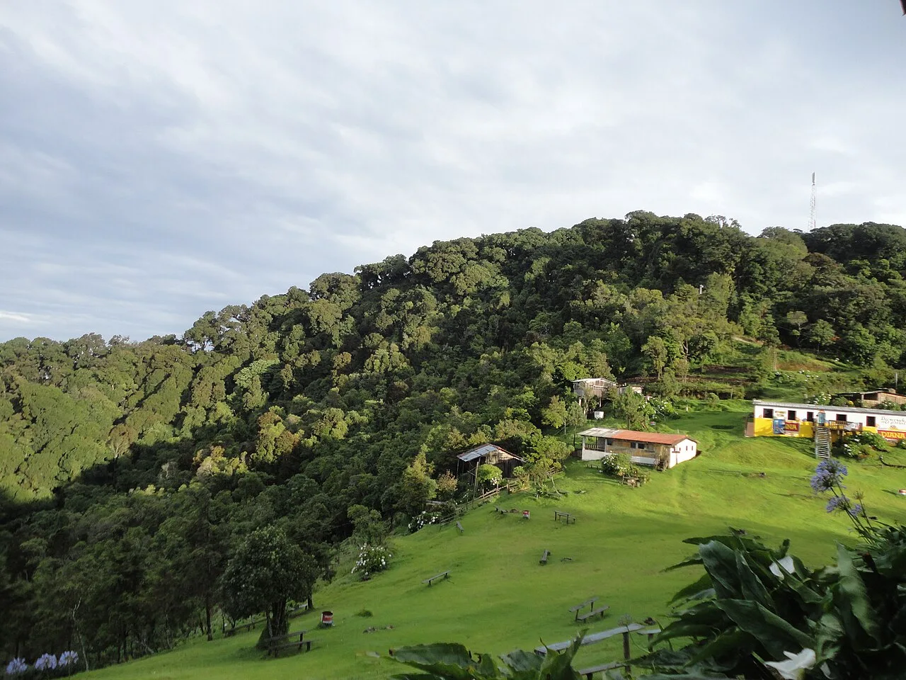
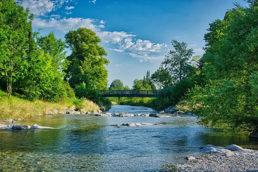
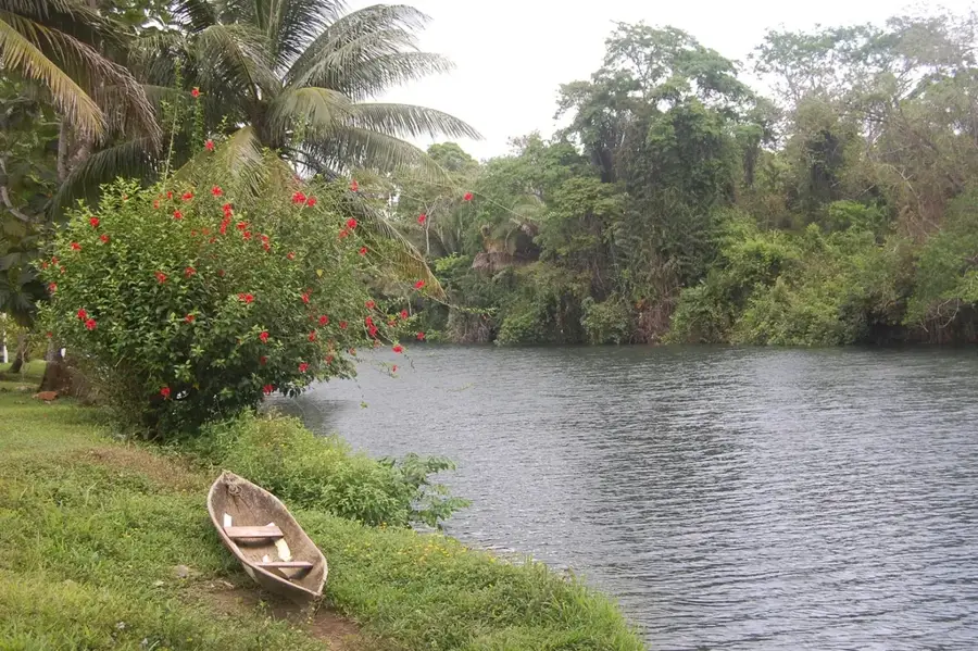
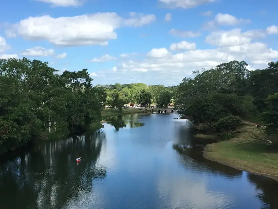
Cerro El Pital is a majestic mountain situated on the border between Honduras and El Salvador. At 2,730 meters above sea level, its summit is the highest point in El Salvador, while its northern slopes lie within Honduran territory. The mountain is famous for its unusually cold climate, with frost occasionally occurring during the winter months, a rarity for the tropics. Its slopes are blanketed in lush cloud forests and highland pine groves, hosting a unique array of flora and fauna. El Pital is a favorite destination for hikers and campers seeking cool mountain air and sweeping vistas. Ecologically, the area is crucial as it forms part of the headwaters for the Lempa River, one of Central America's most important waterways.
- Location: Honduras
- Nearby: San Agustín (6 km)
Best time to visit & climate
The most pleasant time to visit is Jan–Mar.
| Jan | Feb | Mar | Apr | May | Jun | Jul | Aug | Sep | Oct | Nov | Dec | |
|---|---|---|---|---|---|---|---|---|---|---|---|---|
| Avg °C | 19 | 21 | 23 | 24 | 24 | 23 | 22 | 23 | 22 | 21 | 20 | 19 |
| Rain mm | 26 | 20 | 19 | 37 | 140 | 193 | 155 | 189 | 218 | 160 | 63 | 36 |
📋 Practical info
Geography
Facts
- The summit reaches an elevation of 2,730 meters.
- It is the coldest region in both Honduras and El Salvador.
- Frost can occur between November and February.
- The mountain is home to rare highland orchids.
- It is part of the Sierra Madre de Chiapas mountain range.
- A major area for cultivating cool-weather fruits like peaches.
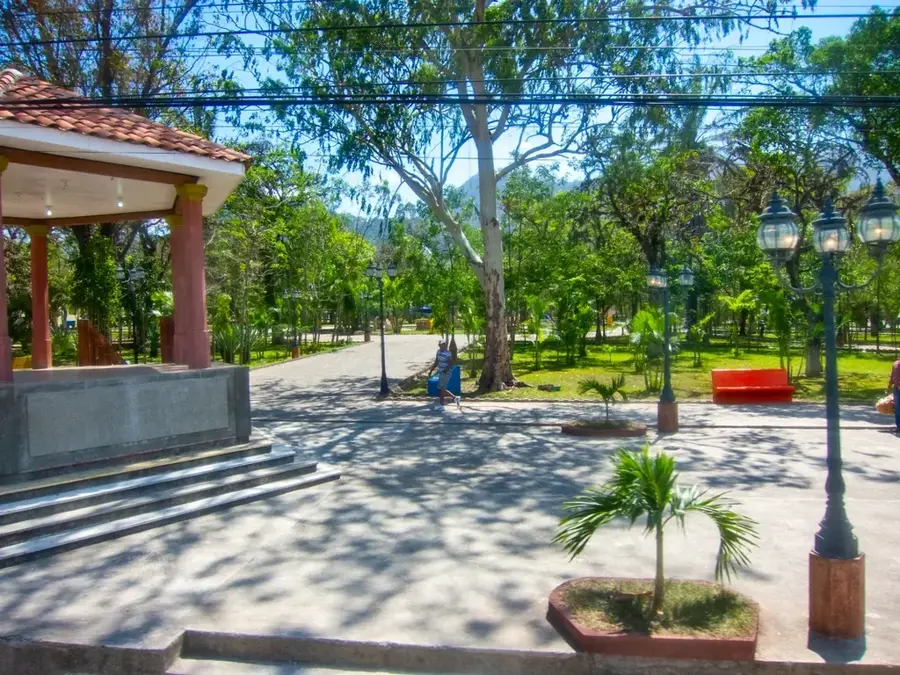
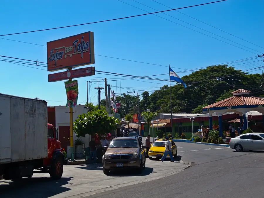
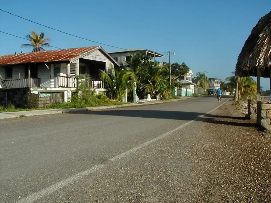
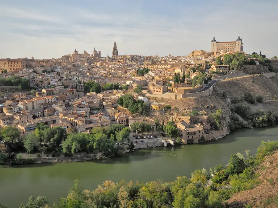
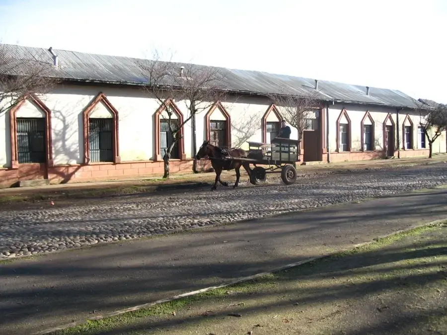
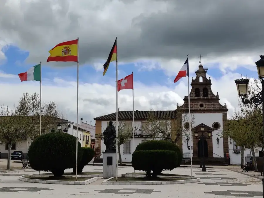
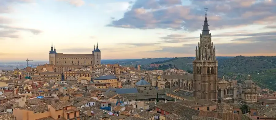
Explore nearby
Notable places around
Route planner — Car & Motorhome
Where do you start? We build the route here, with stops and country notes along the way.
© OpenStreetMap contributors · OpenRouteService
Sights nearby
Frequently asked questions
How high is Cerro El Pital?
Can it snow there?
What are the main activities?
How do you reach the summit?
Are there flowers there?
Cerro El Pital: where is it located?
Cerro El Pital: when is the best time to visit?
Cerro El Pital: why is it worth visiting?

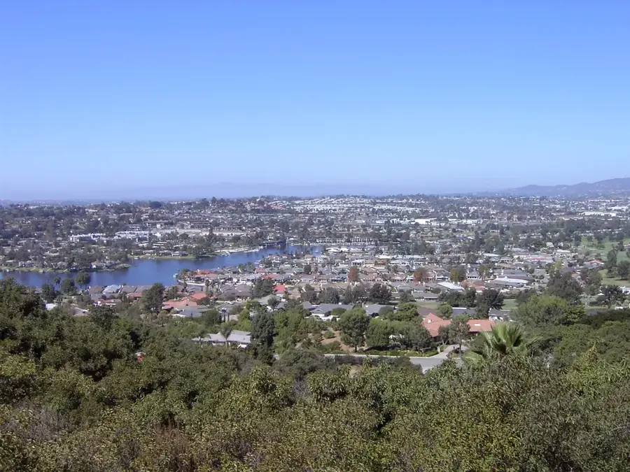
Nearby cities


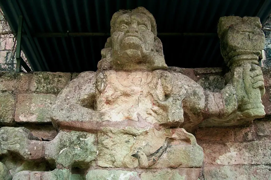
History & landmarks
Nature
More places