Plizio Visual Lab
Léogâne Plain

Weather…
Water temperature…
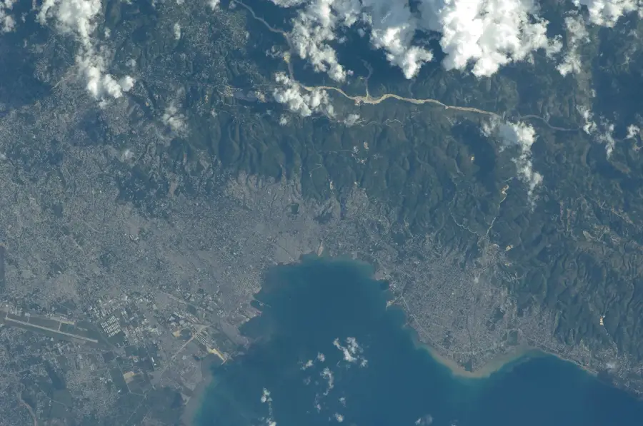
The Léogâne Plain is a fertile coastal lowland west of Port-au-Prince, shaped by alluvial deposits from several rivers, including the Momance. During the French colonial era, this region was one of the most productive areas for sugarcane and indigo cultivation. Agriculture remains central to the local economy today, with crops like bananas and vegetables grown alongside sugarcane for local markets. The plain was catastrophically impacted by the 2010 earthquake, as the epicenter was located nearby. Geologically, the area consists of loose sediments, which led to massive soil liquefaction during the tremors. Rebuilding infrastructure and modernizing irrigation systems are critical tasks for the ongoing economic recovery and future resilience of the region.
- Location: Haiti
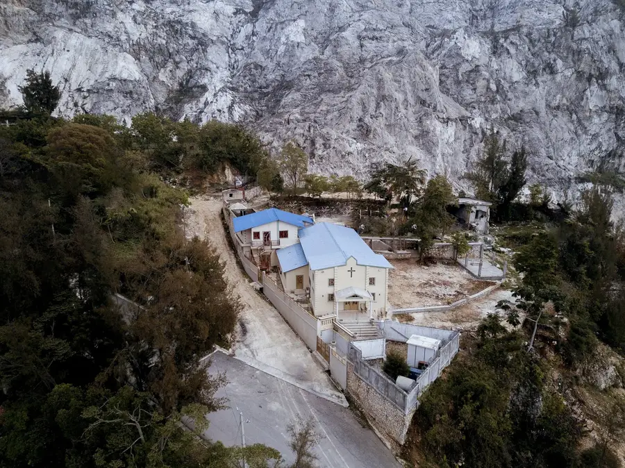
- Nearby: Bassin Bleu (9 km)
Best time to visit & climate
The most pleasant time to visit is Jan–Mar.
| Jan | Feb | Mar | Apr | May | Jun | Jul | Aug | Sep | Oct | Nov | Dec | |
|---|---|---|---|---|---|---|---|---|---|---|---|---|
| Avg °C | 26 | 26 | 26 | 27 | 28 | 28 | 29 | 29 | 29 | 28 | 27 | 26 |
| Rain mm | 19 | 16 | 25 | 37 | 62 | 41 | 38 | 64 | 49 | 75 | 56 | 28 |
📋 Practical info
Geography
Facts
- Epicenter of the 2010 earthquake was nearby.
- Heart of Haiti's sugarcane production region.
- Flowed through by the Momance River.
- Former stronghold of indigo production.
- Soil consists of Quaternary alluvium.
- Key area for plantain (cooking banana) farming.
Explore nearby
Notable places around
Route planner — Car & Motorhome
Where do you start? We build the route here, with stops and country notes along the way.
© OpenStreetMap contributors · OpenRouteService
Sights nearby
Frequently asked questions
What is the Léogâne Plain?
What is mainly grown here?
How far is it from Port-au-Prince?
Which spirit is famous here?
When should you visit the plain?
Léogâne Plain: where is it located?
Léogâne Plain: when is the best time to visit?
Léogâne Plain: why is it worth visiting?

More places