Plizio Visual Lab
Mantoudi-Limni-Agia Anna
ℹ️Practical info — Mantoudi-Limni-Agia Anna
▾
🌤 Weather — 5 days
📍 Nearby
Sights nearby
💡 Tips
- The coastal road near Limni provides impressive sunset views over the North Euboean Gulf; drive carefully due to winding sections.
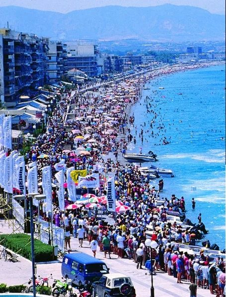
- Agia Anna beach is expansive and sandy, rarely feeling crowded even in peak summer.
- Explore the Drymonas Waterfalls area, a refreshing forested spot, but check local access conditions beforehand.
- Renting a car is essential here as public transport between the coastal villages and mountain settlements is infrequent.
🍽 Food
Northern Evia is famous for its pine honey; buy a jar directly from roadside producers.
Try this traditional Evian fried cheese pie at a local taverna in Limni.
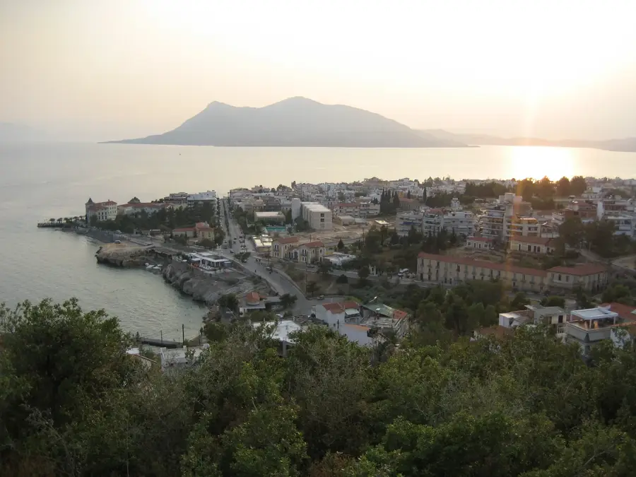
Enjoy fresh Aegean fish at a seaside taverna in the small harbor of Limni.
🛍 Shopping · 🧘 Quiet spots
The region produces excellent olive oil; look for small local cooperatives to purchase direct.
Find handmade fruit preserves (spoon sweets) in the local bakeries of Mantoudi.
Stroll along the waterfront of Limni in the early morning for a peaceful, traditional island atmosphere.
A less commercialized beach near Agia Anna, first-rate for reading a book by the sea.
Water temperature…
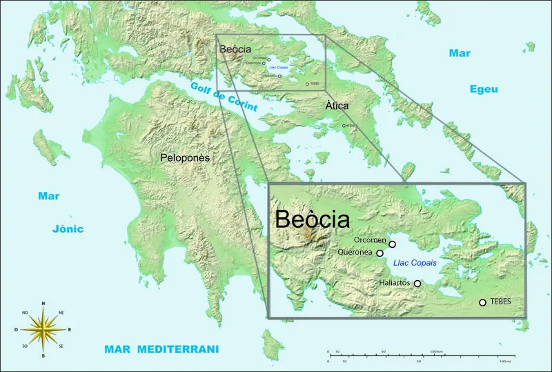
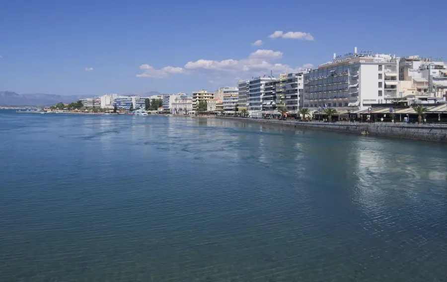
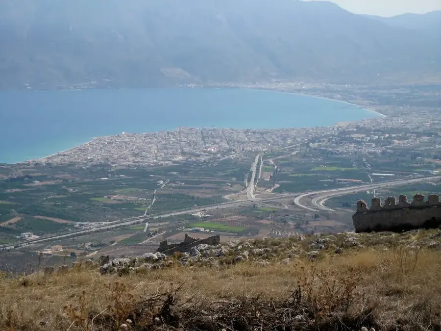
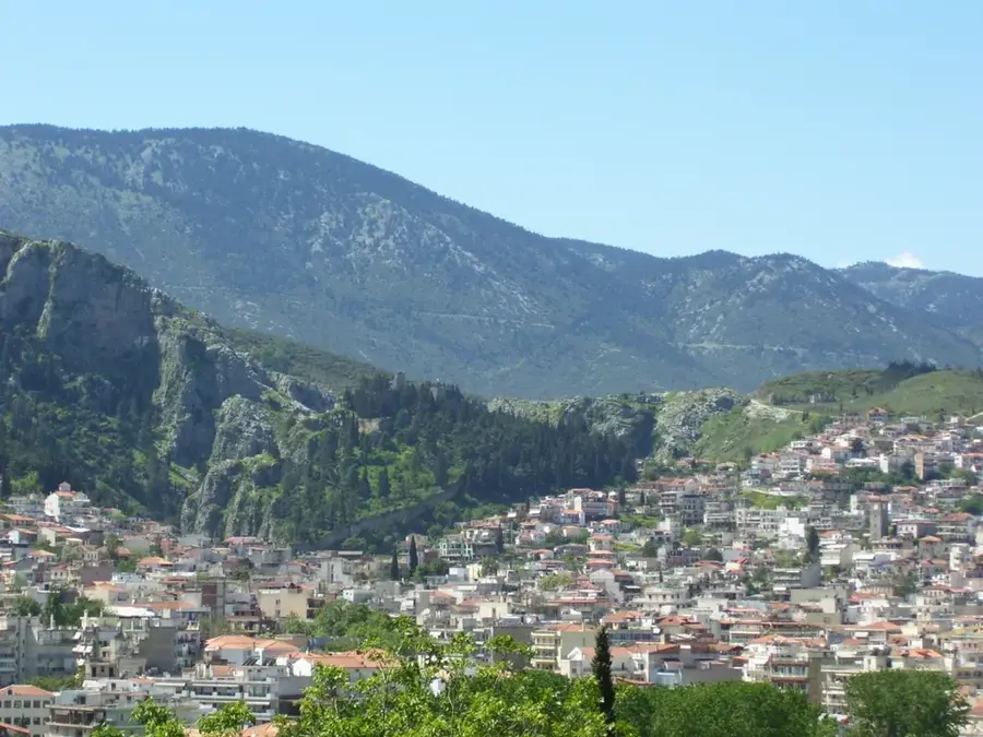
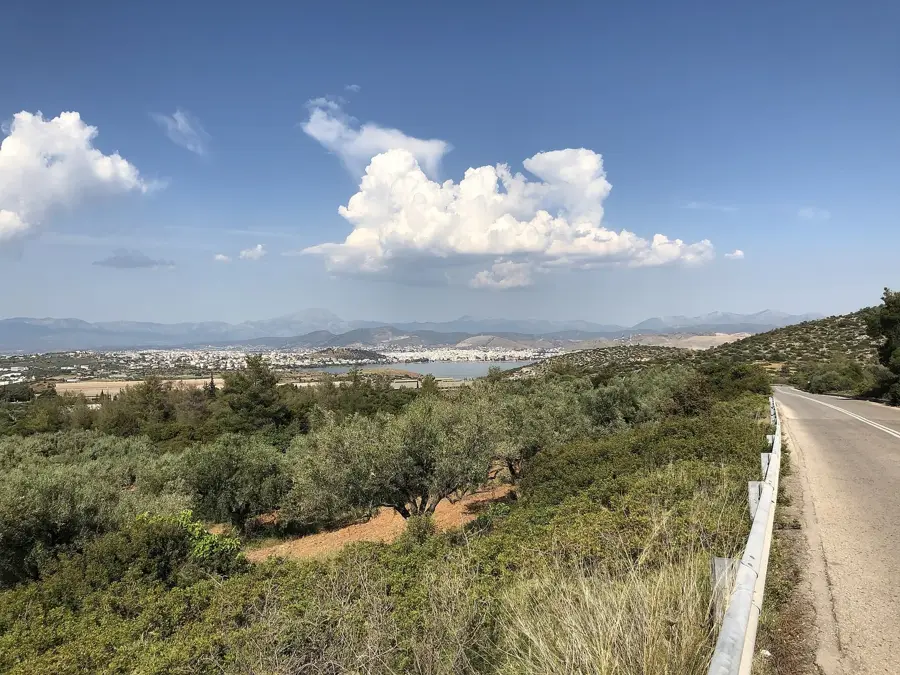
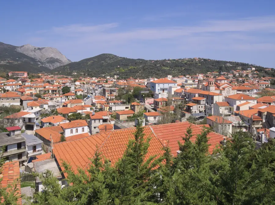
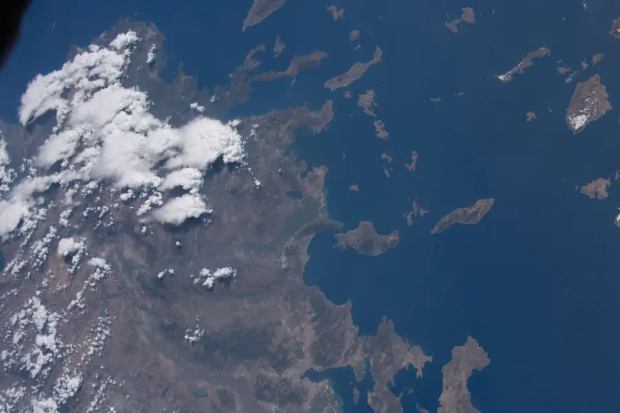
The municipality of Mantoudi-Limni-Agia Anna spans across the northern part of Euboea, offering coastlines on both the North Euboean Gulf and the open Aegean Sea. The terrain is characterized by rolling hills and dense pine forests, which have historically supported local industries like resin tapping. The area balances agricultural output with a growing domestic tourism market. The extensive coastline features numerous beaches catering to different preferences. Along the shores, visitors can access Paralia Achladiou (also known as Fragkaki), Agali, Sarakiniko, and Prasidi. Further exploration reveals Agios Vasileios, Paralia Rodaki, and Paralia Tsirmokokkala. Towards the northern and eastern stretches, Paralia Mourtias and Paralia Kotsikias offer distinctive pebble and sand compositions, often backed by steep green hills. Local infrastructure is well-suited for road-trippers and campers, with several organized campsites located near Agia Anna. The coastal villages maintain traditional layouts with small fishing ports and seaside taverns. The region is accessible via the main road network running north from Chalkida through the forested interior.
- Location: Greece
- Nearby: Dirfyon-Messapion (30 km)
- Population: ~2.245
Best time to visit & climate
The most pleasant time to visit is May, Jun, Sep.
| Jan | Feb | Mar | Apr | May | Jun | Jul | Aug | Sep | Oct | Nov | Dec | |
|---|---|---|---|---|---|---|---|---|---|---|---|---|
| Avg °C | 10 | 11 | 12 | 15 | 19 | 24 | 26 | 26 | 23 | 19 | 15 | 12 |
| Rain mm | 67 | 59 | 60 | 34 | 26 | 29 | 20 | 16 | 43 | 52 | 61 | 88 |
Geography
Facts
- Located in northern Euboea
- Coastline on the Aegean Sea
- Characterized by pine forests
- Strong domestic tourism
- Includes Agia Anna beach area
- Accessible from Chalkida
- Traditional fishing ports
- Features Sarakiniko beach
Explore nearby
Notable places around
Route planner — Car & Motorhome
Where do you start? We build the route here, with stops and country notes along the way.
© OpenStreetMap contributors · OpenRouteService
Frequently asked questions
Where is this municipality located?
What is Limni?
Is Agia Anna known for its beach?
Is there a lot of forest there?
What can you do in Mantoudi?
Mantoudi-Limni-Agia Anna: where is it located?
Mantoudi-Limni-Agia Anna: when is the best time to visit?
Mantoudi-Limni-Agia Anna: why is it worth visiting?

Nearby cities

Nature
More places