Plizio Visual Lab
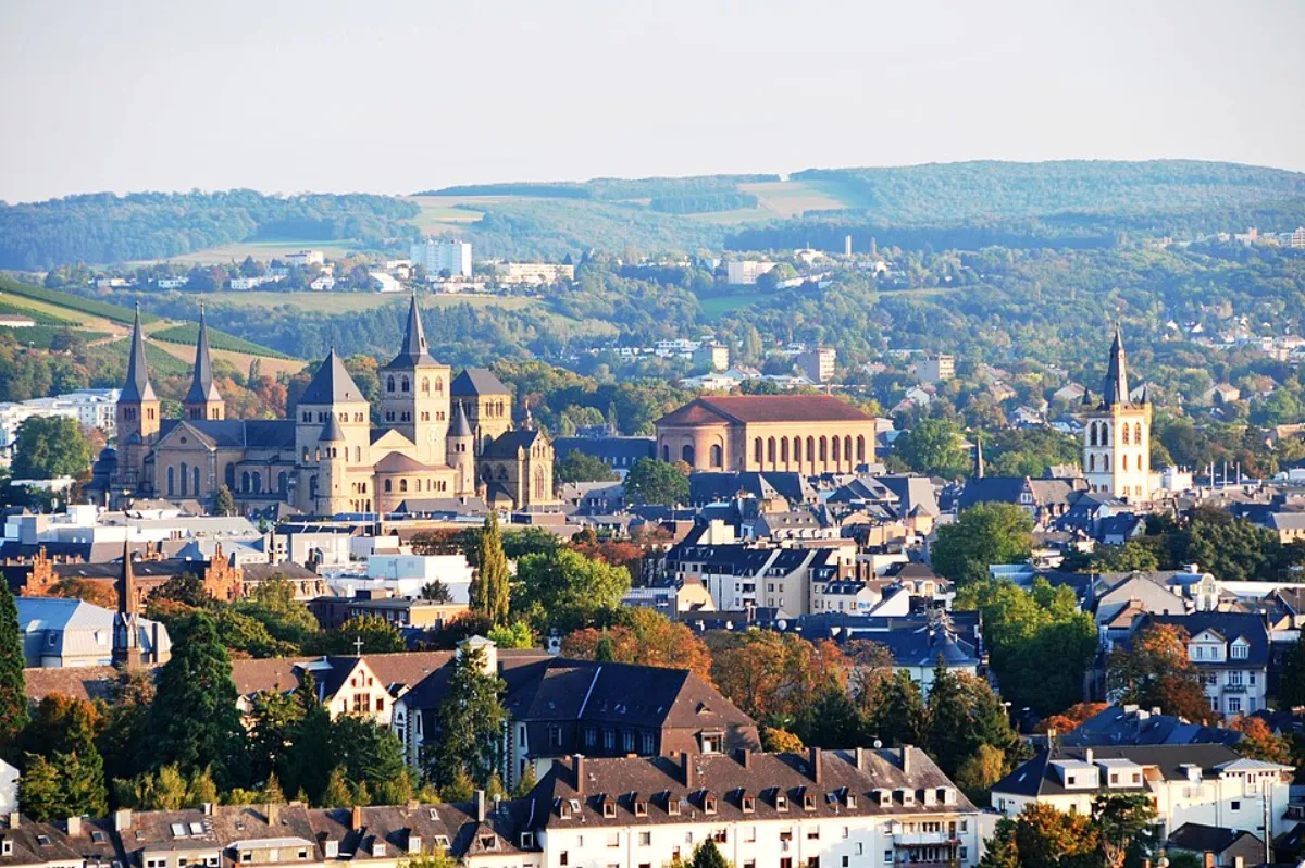
Vulkaneifel
Weather…
Water temperature…
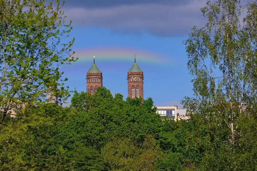
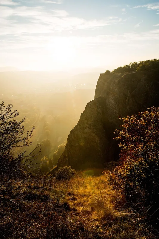
The Vulkaneifel is a geologically unique region in Rhineland-Palatinate, shaped by intense volcanic activity during the Cenozoic era. It extends from the Wittlich Depression to the High Fens and consists of numerous cinder cones, lava flows, and the characteristic maars. The maars, often called the 'Eyes of the Eifel,' are funnel-shaped collapse basins formed by violent steam explosions when magma encountered groundwater. The most recent eruption in the region was the Laacher See volcano approximately 13,000 years ago, a catastrophe of continental scale. Today, the Vulkaneifel is recognized as a UNESCO Global Geopark, offering profound insights into magmatic processes. Alongside the lakes, basalt quarries and mineral springs, such as those in Gerolstein, are of great significance. The landscape is also defined by alternating forested hills and deep valleys, making it a primary destination for geotourism.
- Location: Rhineland-Palatinate, Germany
- Top sights: Schwere Flakbatterie LVZ West · Bunker WW2 · Tellerley
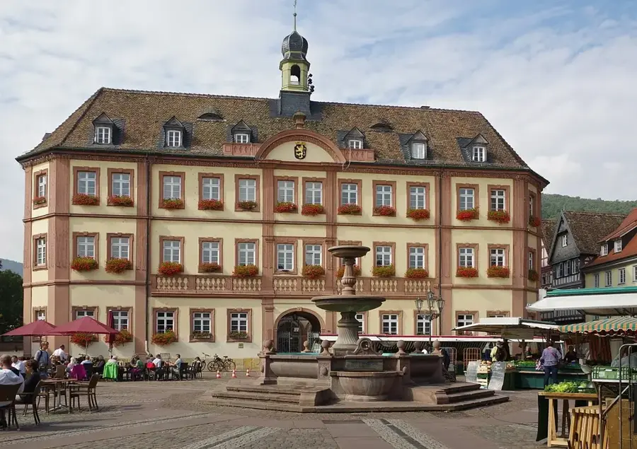
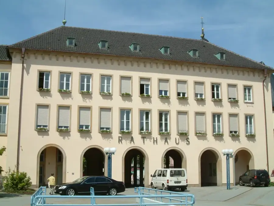
- Nearby: Daun (5 km)
Best time to visit & climate
The most pleasant time to visit is Jun–Aug.
| Jan | Feb | Mar | Apr | May | Jun | Jul | Aug | Sep | Oct | Nov | Dec | |
|---|---|---|---|---|---|---|---|---|---|---|---|---|
| Avg °C | 0 | 1 | 4 | 8 | 12 | 16 | 18 | 18 | 14 | 9 | 5 | 1 |
| Rain mm | 65 | 55 | 55 | 46 | 72 | 70 | 70 | 75 | 55 | 61 | 64 | 74 |
📋 Practical info
Geography
Facts
- Over 350 volcanic centers are documented in the region.
- There are about 75 maars, 10 of which are filled with water.
- The Laacher See eruption occurred approximately 12,900 years ago.
- Designated as a UNESCO Global Geopark in 2015.
- The deepest maar is the Pulvermaar at 74 meters in depth.
- The Gerolstein Limestone Basin is famous for fossil finds.
Explore nearby
Notable places around
Route planner — Car & Motorhome
Where do you start? We build the route here, with stops and country notes along the way.
© OpenStreetMap contributors · OpenRouteService
Sights in the town Vulkaneifel (10)
St. Bartholomäus
Catholic church in Üdersdorf, Germany, dedicated to Saint Bartholomew.
Eifeler Glockengießerei
Bell foundry in Brockscheid, Eifel region, practicing traditional craftsmanship.
Eifel Blick
Viewpoint with a panoramic vista of the Eifel landscape and surrounding villages.
Sangweiher
Nature reserve in Rhineland-Palatinate, a wetland habitat for rare plants and animals.
Heimwebereimuseum🏛 museum
Museum dedicated to home weaving, displaying looms and historical textiles.
Brandgräber Hillscheid
Archaeological site with cremation graves from the Iron Age near Hillscheid.
Sights nearby
Frequently asked questions
What are the famous 'Eyes of the Eifel'?
Are the volcanoes in the Eifel still active?
Is swimming allowed in the maars?
Where can one learn more about volcanism?
Which hike is particularly recommended?
Vulkaneifel: where is it located?
Vulkaneifel: what is there to see?
Vulkaneifel: when is the best time to visit?
Vulkaneifel: why is it worth visiting?

Nearby cities