Plizio Visual Lab
Teutoburg Forest Ridge
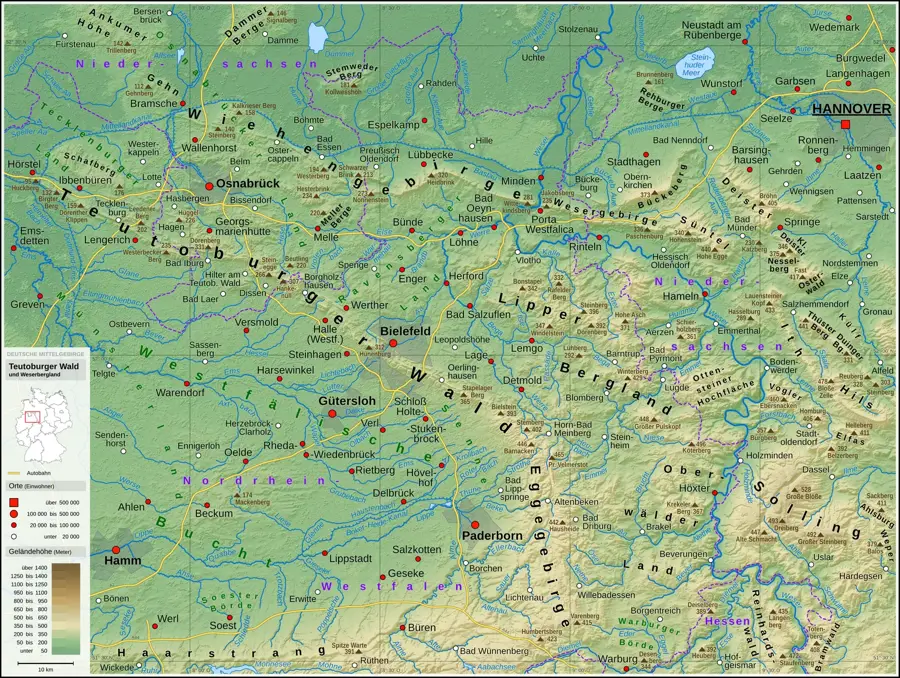
The Teutoburg Forest is a central upland range in the states of Lower Saxony and North Rhine-Westphalia, extending approximately 105 kilometers in length. Geologically, it is a ridge structure composed mainly of sedimentary rocks from the Cretaceous and Triassic periods, uplifted by tectonic forces. The highest point of the range is the Barnacken, reaching an elevation of 446 meters. The region gained historical fame from the Battle of the Teutoburg Forest in 9 AD, where Germanic tribes led by Arminius defeated three Roman legions. The Hermannsdenkmal monument near Detmold commemorates this event and serves as a landmark visible from great distances. The landscape is characterized by dense beech and spruce forests as well as striking sandstone formations like the Externsteine. Today, the Teutoburg Forest is a vital recreational area, integrated into tourism by the Hermannsweg hiking trail.
- Location: Lower Saxony, Germany
- Top sights: Donoperteich-Hiddeser Bent · Hiddeser Bent · Kanzel
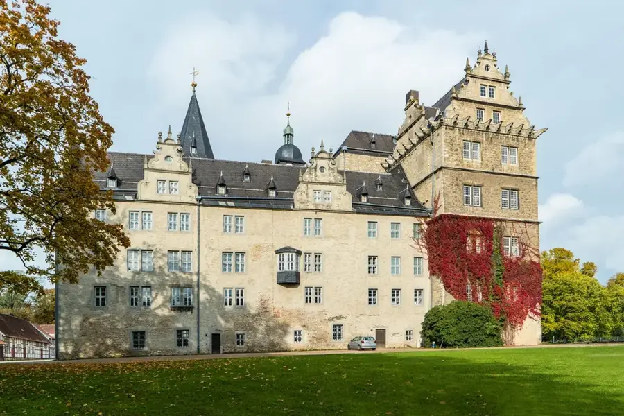
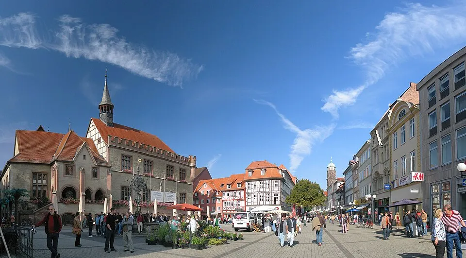
- Nearby: Detmold (5 km)
Best time to visit & climate
The most pleasant time to visit is Jun–Aug.
| Jan | Feb | Mar | Apr | May | Jun | Jul | Aug | Sep | Oct | Nov | Dec | |
|---|---|---|---|---|---|---|---|---|---|---|---|---|
| Avg °C | 1 | 1 | 4 | 9 | 13 | 16 | 18 | 18 | 14 | 10 | 5 | 2 |
| Rain mm | 80 | 58 | 56 | 44 | 66 | 69 | 78 | 74 | 59 | 63 | 71 | 78 |
📋 Practical info
Geography
Facts
- The mountain range spans approximately 105 kilometers.
- The highest peak is Barnacken at 446 meters.
- Site of the Battle of the Teutoburg Forest in 9 AD.
- The Hermannsdenkmal was inaugurated in 1875.
- The Externsteine are a prominent sandstone formation.
- The 'Hermannsweg' ridge trail is 156 kilometers long.
Explore nearby
Notable places around
Route planner — Car & Motorhome
Where do you start? We build the route here, with stops and country notes along the way.
© OpenStreetMap contributors · OpenRouteService
Sights in the town Teutoburg Forest Ridge (10)
Felsspalte Mordkuhle
Narrow rocky cleft in the Teutoburg Forest. The path leads between high sandstone walls.
Allhornberg
Hill in the Teutoburg Forest. Wooded elevation, popular with hikers.
Östlicher Teutoburger Wald
Nature reserve in the Lippe district. Protects large parts of the eastern ridge with beech forests and rocks.
Grotenburg
Mountain near Detmold. The Hermann Monument stands on its summit, surrounded by forest.
Hermann Memorial
Monument in North Rhine-Westphalia. Commemorates the Battle of the Teutoburg Forest, a popular tourist destination.
Evangelische-reformierte Kirche Hiddesen
Church in Detmold-Hiddesen. Evangelical Reformed church, a simple hall building with a roof turret.
Sights nearby
Frequently asked questions
What are the Externsteine?
Where is the Hermannsdenkmal located?
Which long-distance hiking trail passes through here?
Are there museums nearby?
How is the public transport connection?
Teutoburg Forest Ridge: where is it located?
Teutoburg Forest Ridge: what is there to see?
Teutoburg Forest Ridge: when is the best time to visit?
Teutoburg Forest Ridge: why is it worth visiting?

Nearby cities