Plizio Visual Lab
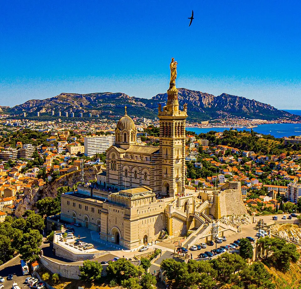
Sainte-Baume Massif
Weather…
Water temperature…
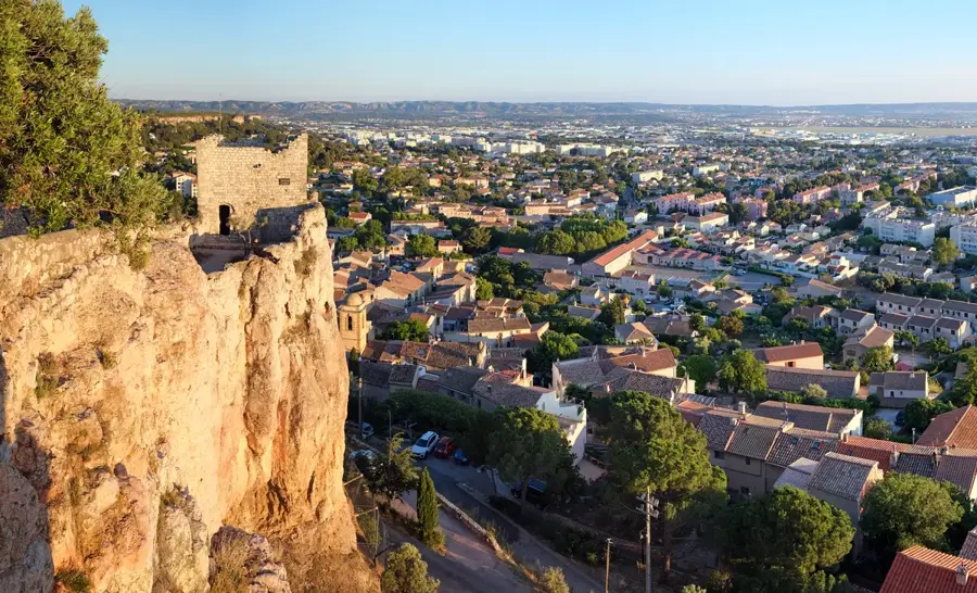
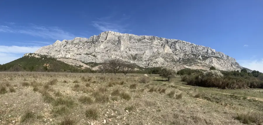
The Sainte-Baume Massif is a prominent limestone ridge in Provence, stretching approximately 12 kilometers in length. Geologically, the range forms an imposing rock wall that drops steeply to the north, reaching its highest point at Saint-Pilon with an elevation of 994 meters. A remarkable feature is the ancient forest of beech and oak on the northern slope, which has been protected for centuries due to its religious significance and is considered a relic of post-glacial vegetation. Its name is derived from the 'Holy Cave' (Baumo), where, according to legend, Mary Magdalene spent the last 30 years of her life as a hermit. This grotto has been a major pilgrimage site since the 5th century, frequented by kings and faithful from across Europe. The massif serves as a natural border between the Var and Bouches-du-Rhône departments and provides panoramic views extending to the Mediterranean Sea. Today, it is designated as a Regional Natural Park, conserving numerous rare botanical species.
- Location: Provence-Alpes-Côte d'Azur, France
- Top sights: Chapelle Sainte-Marie-Madeleine · Ermitage Dalmace Moner · Réserve biologique dirigée de Sainte-Baume
- Nearby: Nans-les-Pins (5 km)
Best time to visit & climate
The most pleasant time to visit is Jun, Aug, Sep.
| Jan | Feb | Mar | Apr | May | Jun | Jul | Aug | Sep | Oct | Nov | Dec | |
|---|---|---|---|---|---|---|---|---|---|---|---|---|
| Avg °C | 5 | 6 | 9 | 12 | 16 | 22 | 25 | 24 | 20 | 15 | 10 | 6 |
| Rain mm | 52 | 46 | 50 | 49 | 51 | 29 | 14 | 20 | 48 | 87 | 109 | 72 |
📋 Practical info
Geography
Facts
- The highest point is Saint-Pilon at 994 meters elevation.
- It contains a beech forest atypical for the Mediterranean climate.
- It has been a major Christian pilgrimage site since the 5th century.
- The holy cave is maintained by Dominican friars.
- The massif spans across the Var and Bouches-du-Rhône departments.
- It was officially designated a Regional Natural Park in 2017.
Explore nearby
Notable places around
Route planner — Car & Motorhome
Where do you start? We build the route here, with stops and country notes along the way.
© OpenStreetMap contributors · OpenRouteService
Sights in the town Sainte-Baume Massif (10)
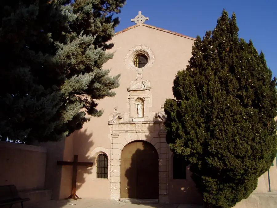
Sanctuaire de la Sainte-Baume
A sanctuary in the Var department, an important pilgrimage site.
Chapelle du Saint-Pilon
A chapel in the Var department, located on a mountain peak.
Saint-Pilon
A summit in the Sainte-Baume Massif in France.
Chapelle des Parisiens
A chapel in the Var department, a small religious building.
Tumulus de Miette
An archaeological site, a burial mound in the Sainte-Baume Massif.
Eglise Saint Jacques Le Majeur
A church in the Var department, dedicated to Saint James the Greater.
Sights nearby
Frequently asked questions
What is the most important religious site in the massif?
What is special about the Sainte-Baume forest?
How long does the hike to the cave take?
Does the summit offer a good view?
Where are the mountains located?
Sainte-Baume Massif: where is it located?
Sainte-Baume Massif: what is there to see?
Sainte-Baume Massif: when is the best time to visit?
Sainte-Baume Massif: why is it worth visiting?

Nearby cities