Pin Rolland Little Market
A charming small market in Saint-Mandrier-sur-Mer, ideal for picking up fresh local goods.
Plizio Visual Lab
Try this classic, rich fish stew at one of the dedicated seafood restaurants along the harbor front.
A savory chickpea flour flatbread. Grab a warm slice from a local bakery for a quick snack.
Pick up a chilled bottle of regional rosé from a local wine shop to enjoy with dinner.
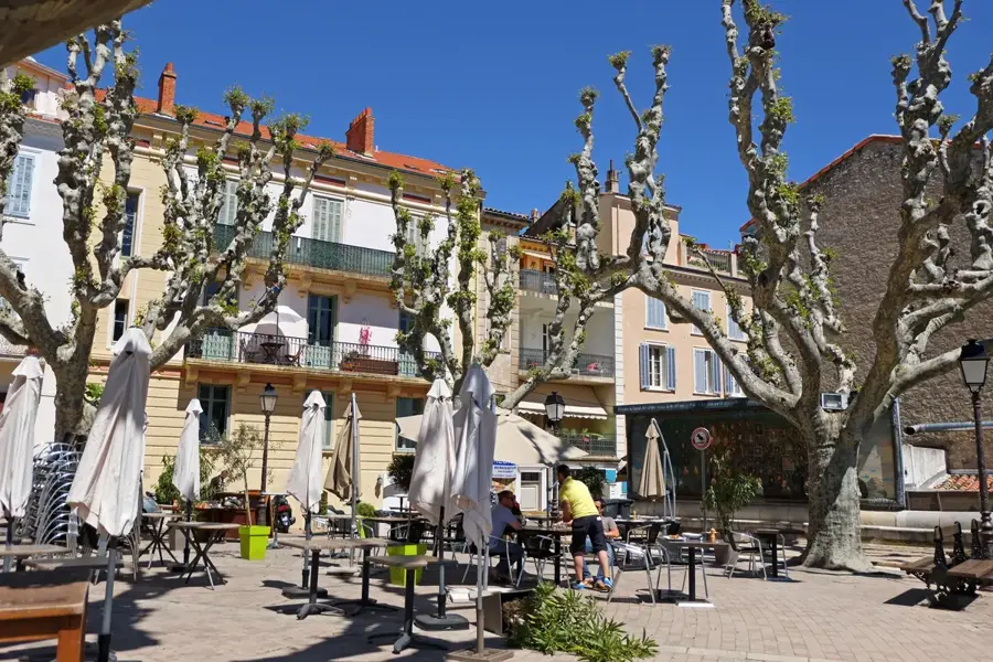
Head to the weekend market by the harbor for fresh regional produce and Provencal herbs.
Buy fish directly from the local fishermen who sell their morning catch on the quay.
Browse the small independent boutiques near the marina for marine-themed gifts and decor.
A peaceful nature reserve showcasing Mediterranean flora, great for a shaded, quiet walk.
A small, pebble beach that is usually less crowded, making it a serene spot for watching the sunset.
Water temperature…
A charming small market in Saint-Mandrier-sur-Mer, ideal for picking up fresh local goods.
A celebration of the sea and fishermen featuring diving, boat trips, and exhibits. Enjoy grilled sardines, country dancing, and a festive musical atmosphere by the water.
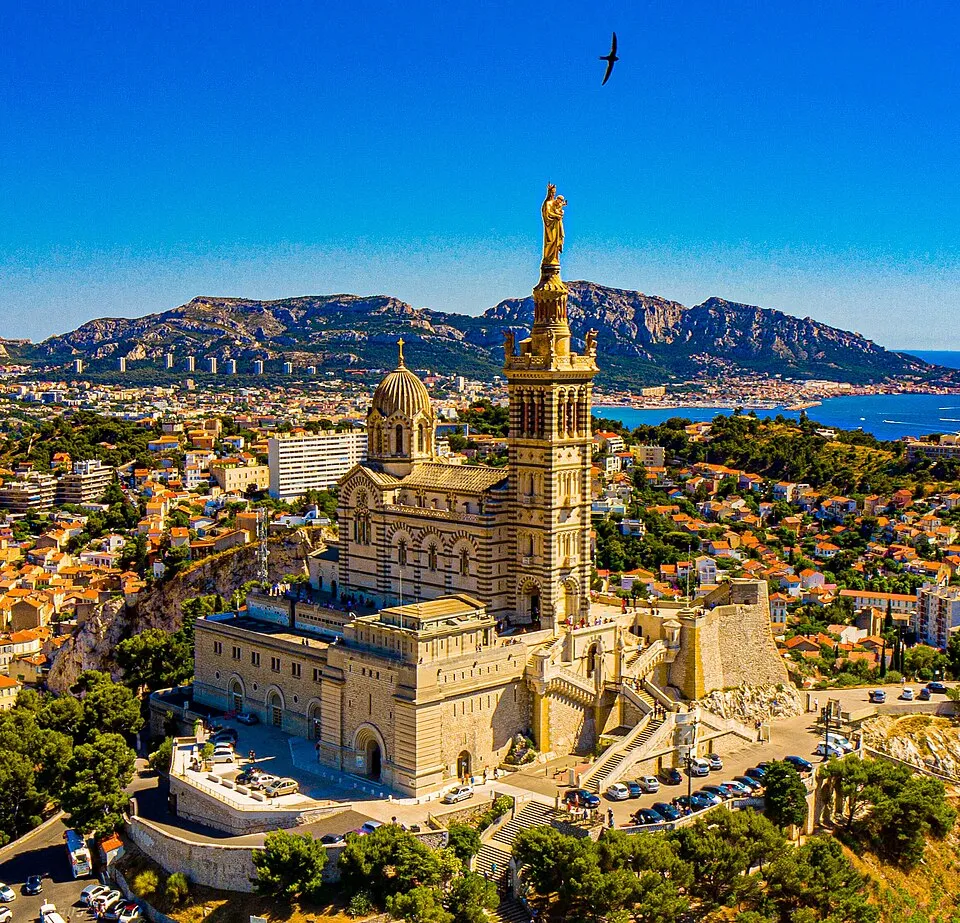
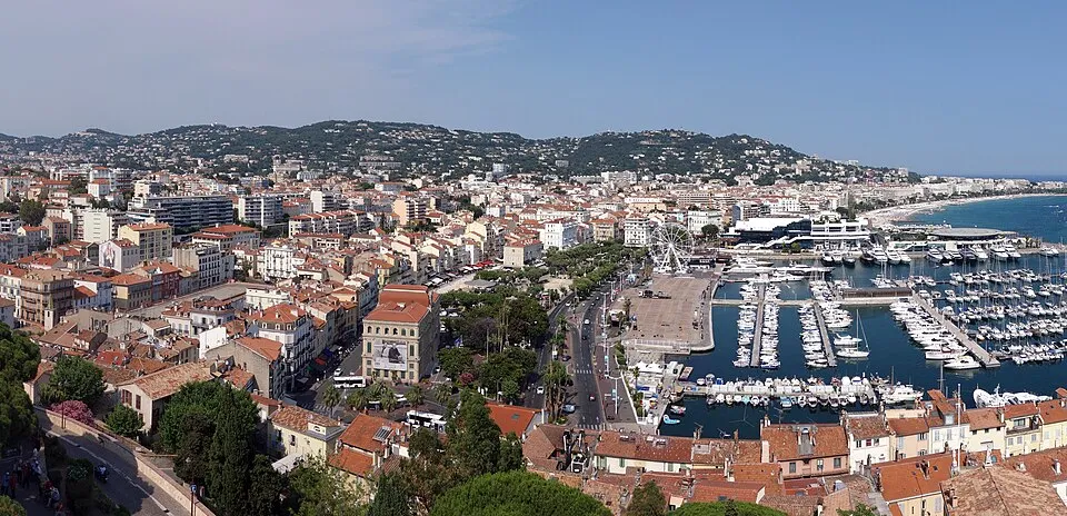
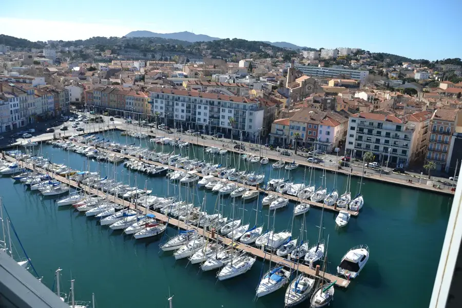
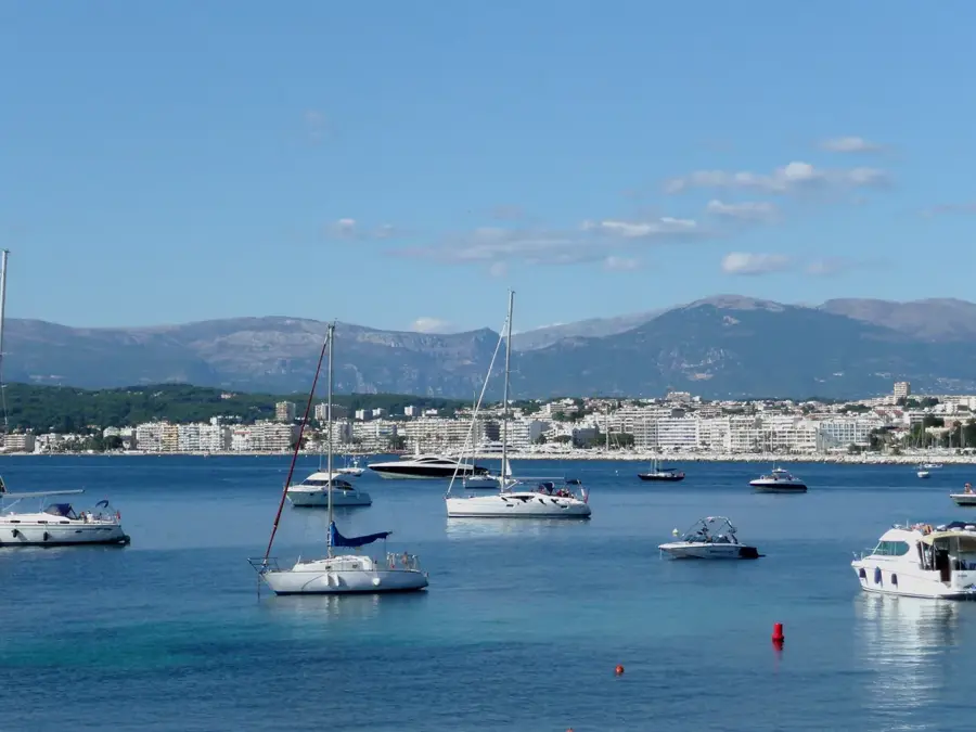
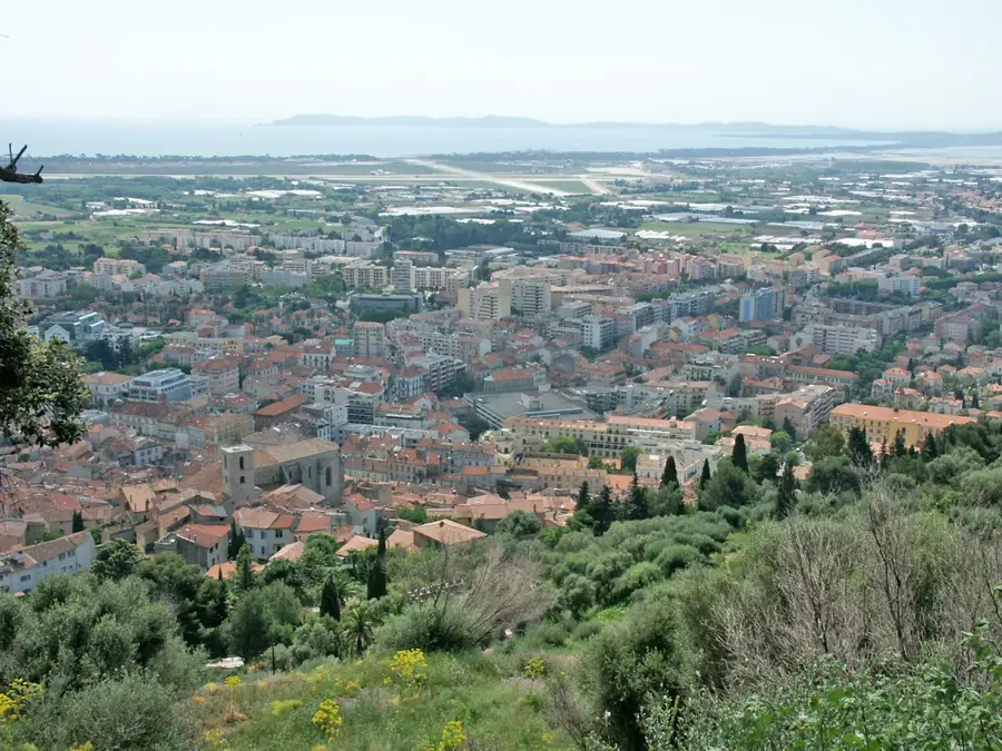
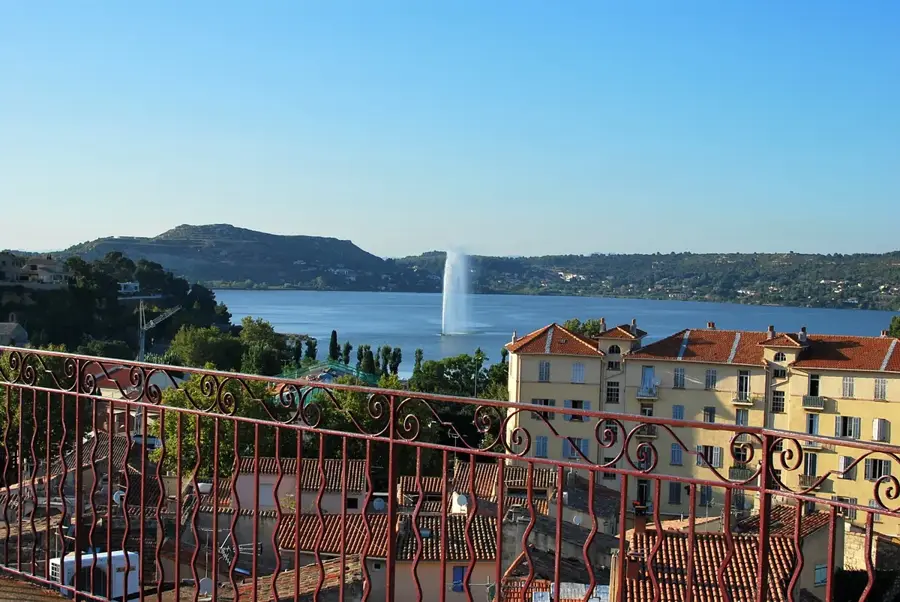
Saint-Mandrier-sur-Mer is located on the peninsula of the same name, which forms the southern boundary of the Toulon roadstead. Originally an island, it only became connected to the mainland over time through the silting of the isthmus of Les Sablettes. The history of the commune is inextricably linked to the sea and the navy. Valued since antiquity as a place of refuge, Saint-Mandrier now hosts significant training facilities for the French Navy (PEM). Despite the military presence, the town has retained the charm of a Provençal fishing village. The small harbor is the heart of the community, lined with restaurants and cafés. The coastline gives a diverse landscape of rugged cliffs, small hidden coves, and fine sandy beaches like Plage de la Coudoulière. A coastal path, the Sentier du Littoral, loops around the peninsula, providing panoramic views of the open sea and the city of Toulon. The mild Mediterranean climate and lush vegetation featuring pines and eucalyptus trees make it a popular destination for holidaymakers and sailors.
The most pleasant time to visit is Jun, Jul, Sep.
| Jan | Feb | Mar | Apr | May | Jun | Jul | Aug | Sep | Oct | Nov | Dec | |
|---|---|---|---|---|---|---|---|---|---|---|---|---|
| Avg °C | 10 | 10 | 12 | 14 | 17 | 22 | 24 | 24 | 21 | 18 | 14 | 11 |
| Rain mm | 57 | 48 | 51 | 46 | 43 | 21 | 9 | 15 | 45 | 85 | 105 | 71 |
Notable places around
Where do you start? We build the route here, with stops and country notes along the way.
© OpenStreetMap contributors · OpenRouteService
Sheltered on the peninsula of Saint Mandrier Sur Mer lies the inviting Plage de la Coudoulière. Its clear waters and protected location make it a good place to thoroughly enjoy the Mediterranean sun. Families in particular appreciate the relaxed environment for a day of swimming together in summer.