Plizio Visual Lab
San Andres
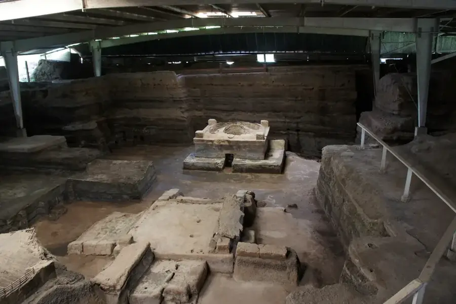
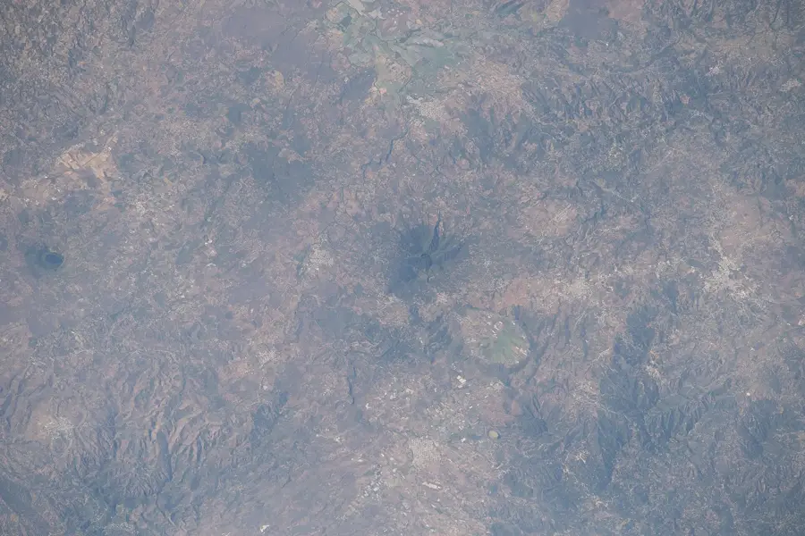
San Andrés is one of El Salvador's most significant archaeological sites and was once a major political and ritual center in the Zapotitán Valley. The settlement reached its peak between 600 and 900 AD during the Late Classic period, serving as a regional administrative center for the Maya culture. The site comprises several structures, including pyramids, terraced platforms, and a central plaza, all constructed from adobe bricks and volcanic stone. Particularly noteworthy is the Acropolis, which served as a residence for the rulers and provides an insight into the social hierarchy of the time. The history of San Andrés was interrupted in 1658 by the eruption of the San Salvador volcano, which buried the complex under a thick layer of ash, contributing to its preservation. Today, the site hosts a museum displaying finds such as ceramics, tools, and jewelry that demonstrate trade with distant regions. As a national monument, San Andrés plays a central role in understanding the pre-Columbian history of Central America.
- Location: El Salvador
- Nearby: Colón (4 km)
📋 Practical info
History & landmarks
Classical
600
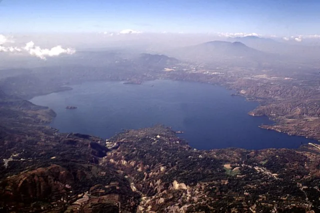
Geography
Facts
- The site covers approximately 200 hectares, though only a part is excavated.
- Was rediscovered by archaeologists in the 1940s.
- Located only 32 kilometers west of the city of San Salvador.
- Abandoned for the first time around 250 AD due to the Ilopango eruption.
- Structures were buried by the El Playón eruption in 1658.
- The onsite museum was officially inaugurated in 1986.
Explore nearby
Notable places around
Route planner — Car & Motorhome
Where do you start? We build the route here, with stops and country notes along the way.
© OpenStreetMap contributors · OpenRouteService
Sights in the town San Andres (1)
Sights nearby
Frequently asked questions
What are the opening hours?
Is the entrance fee expensive?
Are you allowed to climb the ruins?
Is there a museum on-site?
How long does a tour take?
San Andres: where is it located?
San Andres: why is it worth visiting?

Nearby cities
History & landmarks
Nature
More places