Plizio Visual Lab
Armenia

ℹ️Practical info — Armenia
▾
🌤 Weather — 5 days
📍 Nearby
Sights nearby
💡 Tips
- The climate is warm and humid; dress in light clothing and stay hydrated.
- The surrounding area is famous for coffee; try to visit a local finca (plantation) if possible.
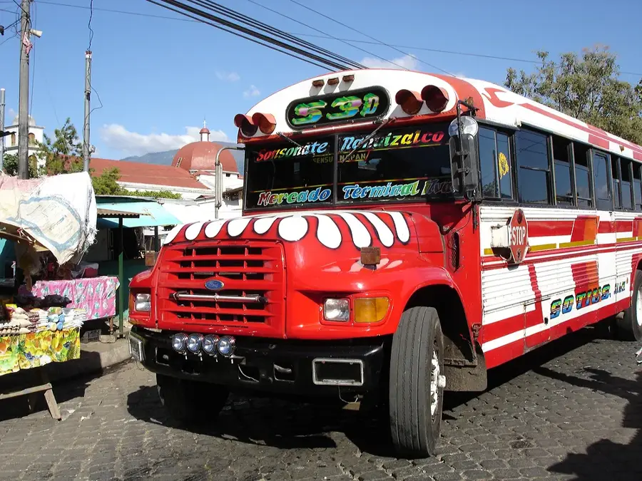
- Local buses (chicken buses) are the main transport but can be crowded; consider a rental car for exploring the coffee route.
- Stick to well-lit main streets after dark and use recommended taxis.
🍽 Food
Try these stuffed tortillas at a local pupusería in the central plaza.
Fried cassava, often served with chicharrón (pork rinds), at local eateries.
Enjoy a freshly brewed cup from locally grown beans at a cafe in the center.
🛍 Shopping · 🧘 Quiet spots
Buy bags of roasted coffee directly from vendors near the plantations or at the market.
Look for handmade souvenirs at the local municipal market.
The main square is particularly peaceful in the early morning hours.
Find a quiet spot on one of the nearby coffee estates to enjoy nature.
Water temperature…
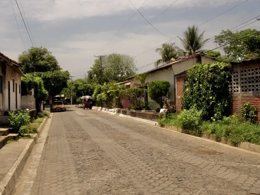
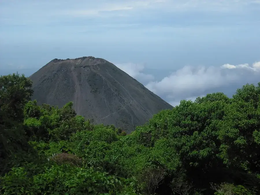
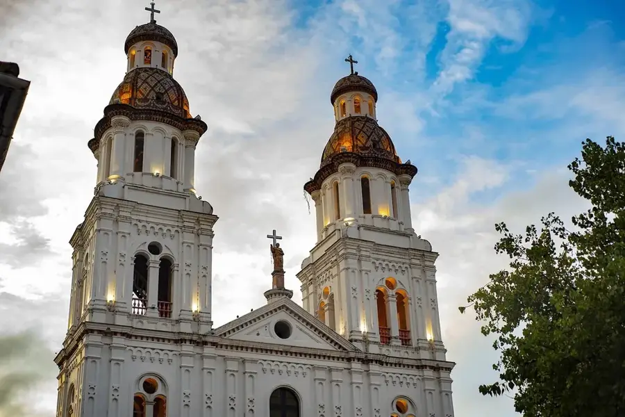
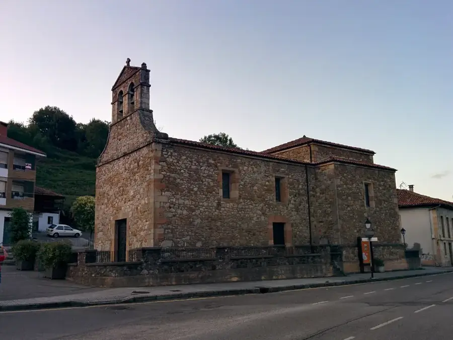
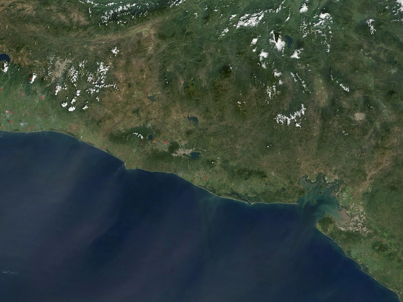
Armenia is an appealing city in the department of Sonsonate, located in western El Salvador. Originally known as 'Guaymoco', which means 'Place of the Great Trees' in the indigenous language, the city received its current name in 1859. Geographically, the region is characterized by rolling hills and lush flora, making it a convenient center for the cultivation of coffee, sugarcane, and citrus fruits. Armenia serves as an important link between the coastal plains and the country's central mountain ranges. The local culture is deeply rooted in religious traditions, with the patronal festival in honor of Saint Teresa of Avila being a major event in the social calendar. In recent decades, Armenia has experienced moderate commercial growth but maintains its rural character and welcoming atmosphere. The architecture in the city center still features classic Salvadoran stylistic elements, with a central plaza as the heart of public life.
- Location: El Salvador
- Top sights: Área Natural Protegida Complejo San Marcelino (Porción La Presa) · Área Natural Protegida Complejo San Marcelino (Porción San Isidro) · Área Natural Protegida Complejo San Marcelino (Porción Las Lajas)
- Nearby: Santa Ana (5 km)
- Population: ~14.997 (2012)
Geography
Facts
- Originally established as an indigenous village named Guaymoco.
- Raised to the status of city (Ciudad) on September 9, 1919.
- Located at an elevation of approximately 515 meters above sea level.
- Significant producer of balsam and tropical hardwoods.
- Patronal festivals are celebrated annually from May 21 to 24.
- The city sustained heavy damage during the 2001 earthquakes.
Explore nearby
Notable places around
Route planner — Car & Motorhome
Where do you start? We build the route here, with stops and country notes along the way.
© OpenStreetMap contributors · OpenRouteService
Sights in the town Armenia (3)
Frequently asked questions
What is the best way to get to Armenia?
How many days should I plan for?
When is the best time to visit?
Are there any local specialties?
Is the city suitable for children?
Armenia: where is it located?
Armenia: what is there to see?
Armenia: why is it worth visiting?

Nearby cities

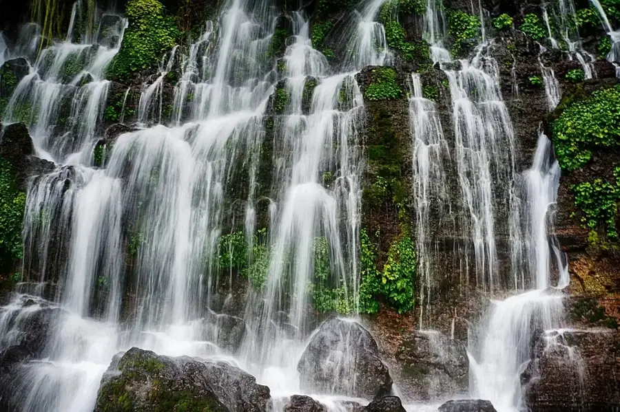

Nature
More places