Plizio Visual Lab
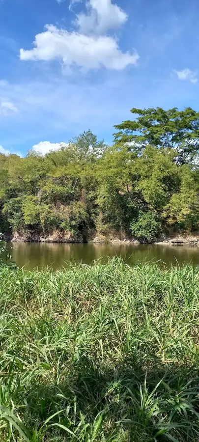
Lake Coatepeque
Weather…
Water temperature…
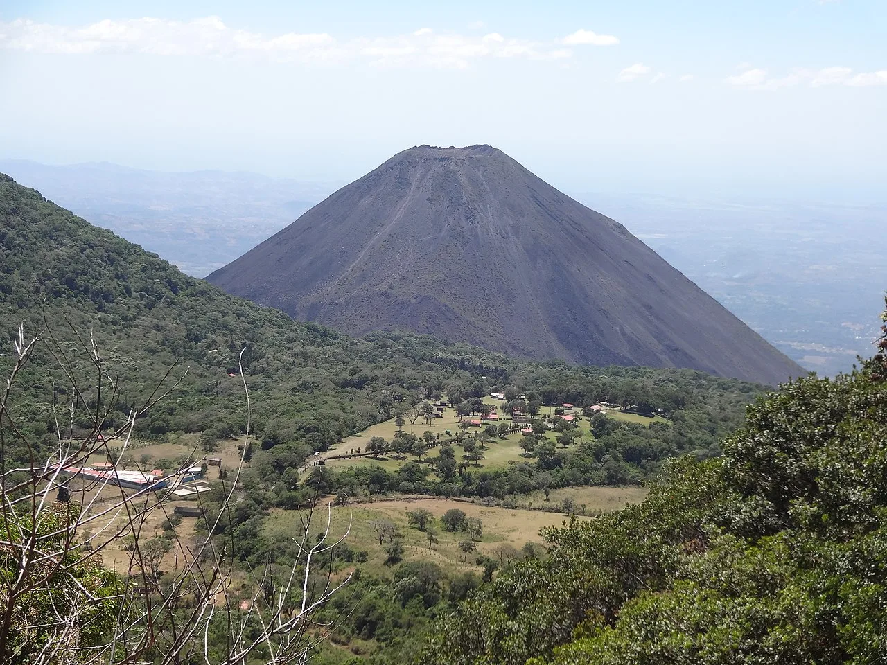
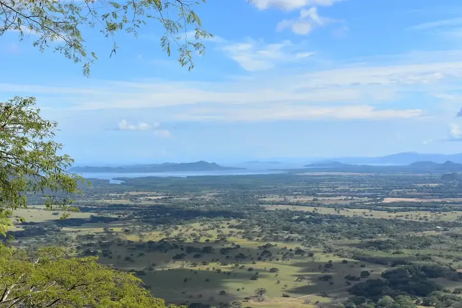
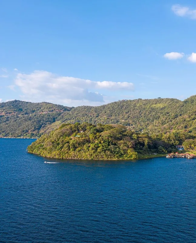
Lake Coatepeque, located in the Santa Ana Department, is one of the most memorable volcanic calderas in the world. It was formed tens of thousands of years ago through a series of massive volcanic eruptions and subsequent collapses. Sitting at an elevation of 745 meters, the lake is famous for its deep blue water, which periodically undergoes a phenomenal change to a bright turquoise color due to specific ecological conditions. With a maximum depth of around 115 meters, it features the "Isla del Teopán," which was a sacred site for the Pipil people. The steep caldera walls rise up to 300 meters above the lake surface and are partially forested. Coatepeque is not only an ecological protected area but also a premier hub for water sports and high-end tourism in El Salvador. Recently, the lake has faced challenges such as algae blooms, sparking increased environmental efforts to preserve its unique beauty.
- Location: El Salvador
- Nearby: Teotepeque (10 km)
📋 Practical info
Geography
Facts
- Volcanic caldera formed between 25,000 and 72,000 years ago
- Water color occasionally shifts from deep blue to turquoise
- Maximum depth of the lake is approximately 115 meters
- Home to the sacred Pipil island 'Isla del Teopán'
- Located at an altitude of 745 meters above sea level
- Nominated as one of the 'Eight Wonders of the World' (natural)
Explore nearby
Notable places around
Route planner — Car & Motorhome
Where do you start? We build the route here, with stops and country notes along the way.
© OpenStreetMap contributors · OpenRouteService
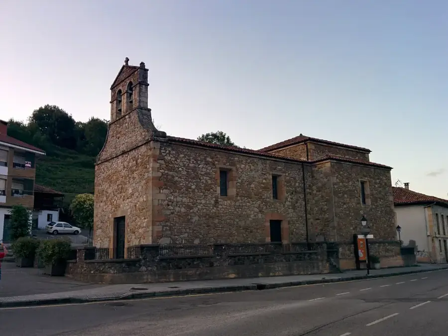
Sights in the town Lake Coatepeque (1)
Sights nearby
Frequently asked questions
Can one swim in the lake?
Are there water sports activities?
Are there restaurants with lake views?
What is the water access like?
Is the water clean?
Lake Coatepeque: where is it located?
Lake Coatepeque: why is it worth visiting?

Nearby cities


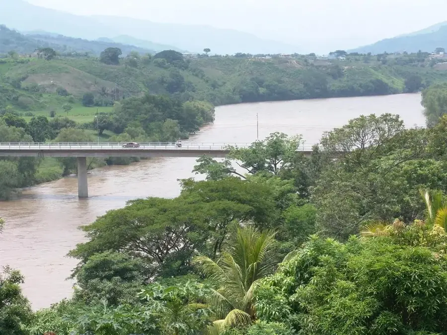

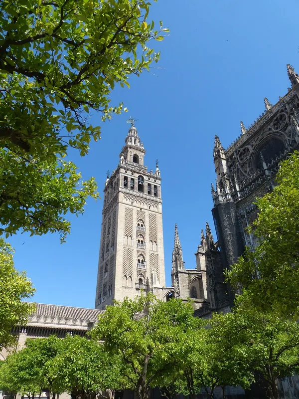
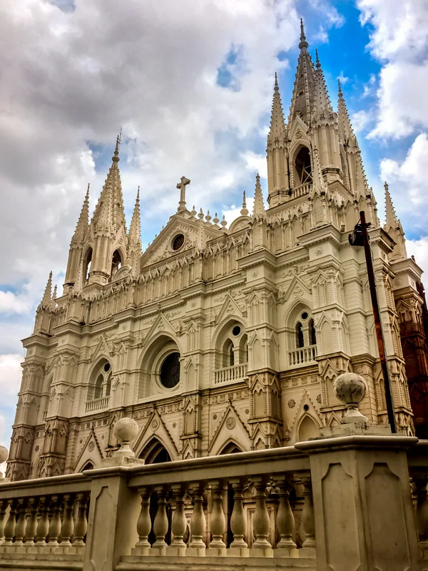
History & landmarks
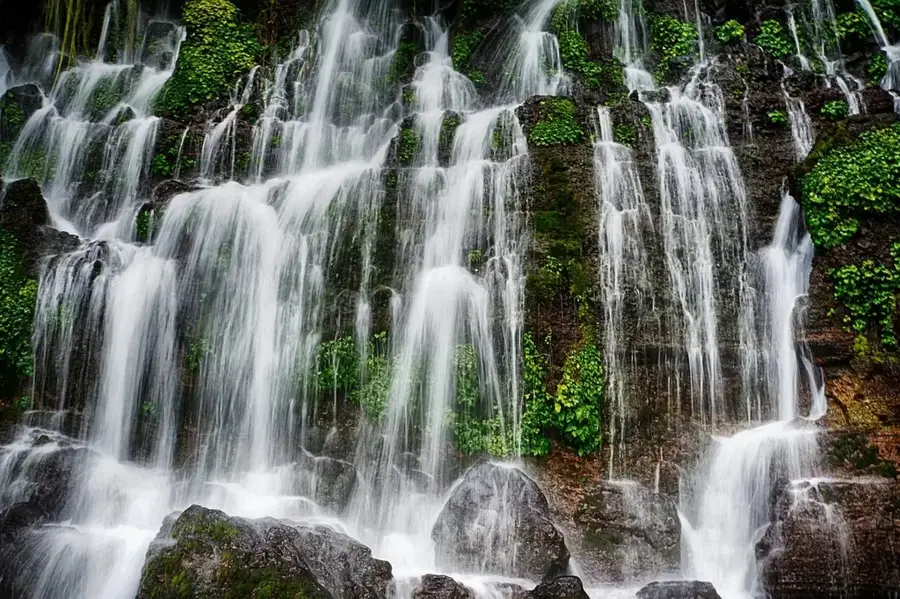
Nature
More places