Plizio Visual Lab
Lomela
ℹ️Practical info — Lomela
▾
🌤 Weather — 5 days
📍 Nearby
Sights nearby
💡 Tips
- Access by road can be extremely difficult; river transport or small aircraft are often used.
- Carry all necessary personal medical supplies and a well-stocked first-aid kit.
- Electricity and internet access are highly intermittent; be prepared to be off-grid.
- Always seek out and respectfully greet the local village chiefs or elders upon arrival.
🍽 Food
Fresh from the Lomela river, often smoked to preserve it and served in local stews.
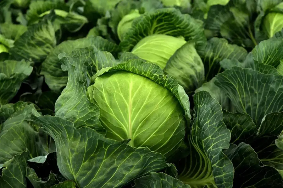
A daily staple here, either fried, boiled, or pounded to accompany savory dishes.
Depending on the season, ask locals for safe, fresh fruits harvested directly from the surrounding forests.
🛍 Shopping · 🧘 Quiet spots
The main spot to buy the freshest fish directly from the pirogues.
Local artisans craft durable baskets from forest materials, useful and authentic souvenirs.
Watch the traditional wooden boats navigate the waters in the early morning.
Arrange a local guide to walk safely along the edge of the dense, calming equatorial forest.
Water temperature…
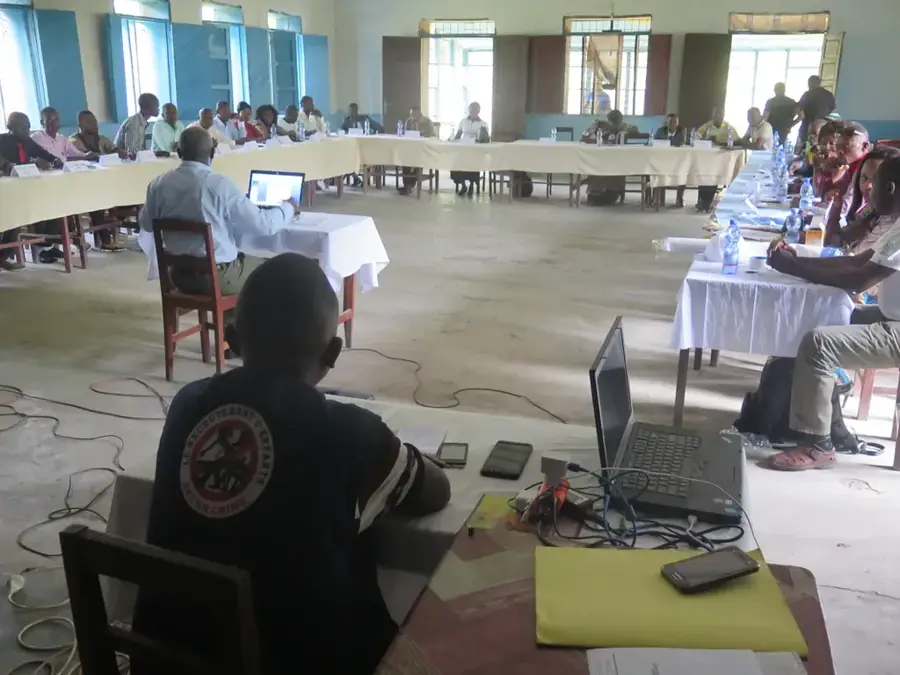
Lomela is a remote town located in the Sankuru Province in the central part of the Democratic Republic of the Congo. It sits on the banks of the Lomela River, a major tributary within the Busira-Tshuapa river system, surrounded by the dense tropical rainforest of the Congo Basin. Due to its isolated location, the river serves as the primary transportation artery for people and goods, especially during the rainy season when land routes often become impassable. Historically, the region was a significant area for rubber extraction and later for the cultivation of cocoa and coffee. Today's economy is primarily based on subsistence farming, hunting, and the trade of forest products. The town serves as the administrative headquarters for the Lomela Territory and is a vital hub for the local Tetela people. Preserving the immense biodiversity of the surrounding rainforest remains a significant challenge for the region's future development.
Best time to visit & climate
The most pleasant time to visit is May–Jul.
| Jan | Feb | Mar | Apr | May | Jun | Jul | Aug | Sep | Oct | Nov | Dec | |
|---|---|---|---|---|---|---|---|---|---|---|---|---|
| Avg °C | 25 | 25 | 25 | 25 | 25 | 25 | 26 | 25 | 25 | 24 | 24 | 24 |
| Rain mm | 132 | 146 | 179 | 154 | 118 | 75 | 84 | 159 | 177 | 205 | 188 | 177 |
Geography
Facts
- Lomela is located on the Lomela River in the Sankuru Province.
- The town is embedded deep within the Congo Basin's rainforest.
- River transport is the primary means of connection to the outside world.
- Rubber and coffee were historically the main exports of the region.
- The town serves as the administrative center for the Lomela Territory.
- The local population predominantly belongs to the Tetela ethnic group.
Explore nearby
Notable places around
Route planner — Car & Motorhome
Where do you start? We build the route here, with stops and country notes along the way.
© OpenStreetMap contributors · OpenRouteService
Frequently asked questions
Where is Lomela located?
Is Lomela easily accessible for tourists?
What is the best time to travel?
Are there wild animals there?
How is the electricity supply?
Lomela: where is it located?
Lomela: when is the best time to visit?
Lomela: why is it worth visiting?

Nearby cities