Plizio Visual Lab
Kole
ℹ️Practical info — Kole
▾
🌤 Weather — 5 days
📍 Nearby
Sights nearby
💡 Tips
- River transport is a main way to get around; expect changing schedules based on water levels.
- Cash is king; ensure you have enough Congolese Francs before arriving.
- The town is small and best explored on foot or by local motorbike taxis.
- Malaria prevention is crucial; bring your own mosquito nets and repellents.
🍽 Food
Try it grilled at local riverside eateries.
Cassava bread found in local markets.
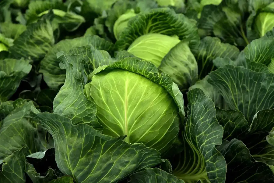
Cassava dough with cassava leaves, a staple meal.
🛍 Shopping · 🧘 Quiet spots
For fresh produce and daily necessities.
Check out small stalls for wooden items.
A quiet spot to watch the boats.
Take a walk just outside the main center for a peaceful view of the landscape.
Water temperature…
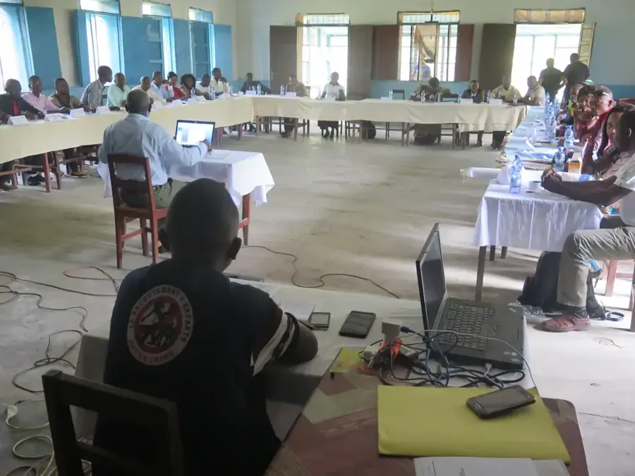
Kole is a historic town in the Sankuru Province of the Democratic Republic of the Congo, situated on the banks of the navigable Lukenie River. The settlement gained significance in the late 19th century as a post for Arab-Swahili traders before being integrated into the colonial administrative framework of the Congo Free State. Geographically, Kole is positioned within a dense equatorial rainforest region, noted for its high biodiversity and vast natural resources. The Lukenie River serves as the town's lifeline, providing the primary means of transport to the Congo River and larger commercial centers. The local economy is centered on subsistence farming, fishing, and the collection of forest products such as copal and rubber for small-scale trade. Kole is also the seat of a Roman Catholic diocese, which plays a major role in the town's social and religious life. Due to its extreme geographical isolation, Kole lacks modern infrastructure and consistent communication services. Nevertheless, it remains an essential outpost for the surrounding forest communities and a testament to the complex inland trading history of the Congo Basin.
- Location: Congo - Kinshasa
- Top sights: Kole Territory · Kole, Democratic Republic of the Congo
Best time to visit & climate
The most pleasant time to visit is May–Jul.
| Jan | Feb | Mar | Apr | May | Jun | Jul | Aug | Sep | Oct | Nov | Dec | |
|---|---|---|---|---|---|---|---|---|---|---|---|---|
| Avg °C | 25 | 25 | 25 | 25 | 25 | 26 | 27 | 27 | 26 | 25 | 24 | 24 |
| Rain mm | 134 | 137 | 175 | 145 | 104 | 39 | 39 | 118 | 181 | 189 | 199 | 174 |
Geography
Facts
- Kole is located on the Lukenie River, a tributary of the Fimi.
- The town is the seat of the Diocese of Kole, established in 1967.
- Historically, Kole was a major center for the rubber trade.
- The area is primarily inhabited by the Tetela and Bankutshu people.
- Transport is almost entirely dependent on riverine routes.
- The climate is humid tropical with rainfall occurring throughout the year.
Route planner — Car & Motorhome
Where do you start? We build the route here, with stops and country notes along the way.
© OpenStreetMap contributors · OpenRouteService
Sights in the town Kole (2)
Frequently asked questions
Where is Kole located?
How is the access to Kole?
What is the economic activity in Kole?
What kind of nature is found around Kole?
Are there means of communication in Kole?
Kole: where is it located?
Kole: what is there to see?
Kole: when is the best time to visit?
Kole: why is it worth visiting?

Nearby cities