Plizio Visual Lab
Maisí Plateau
Weather…
Water temperature…
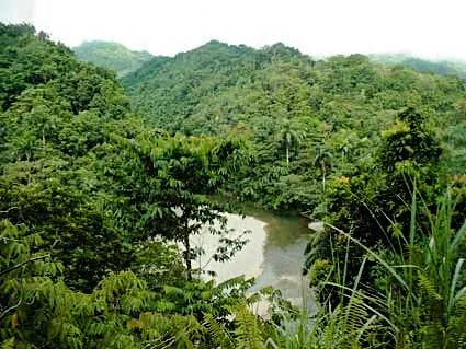
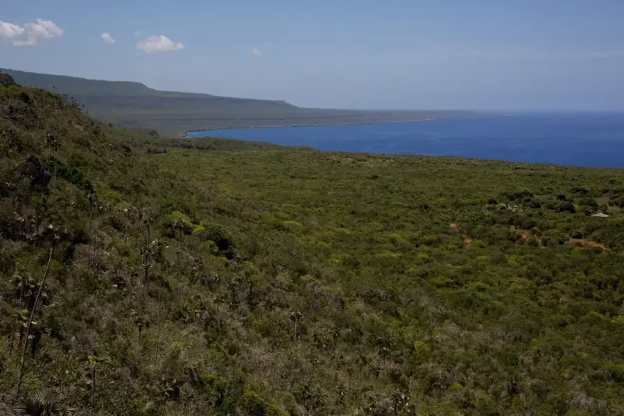
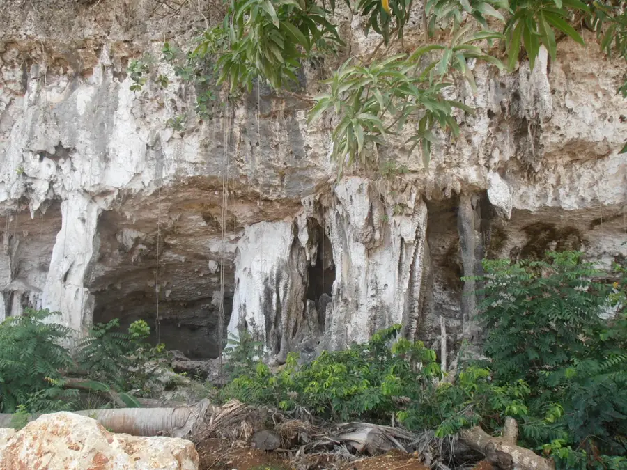
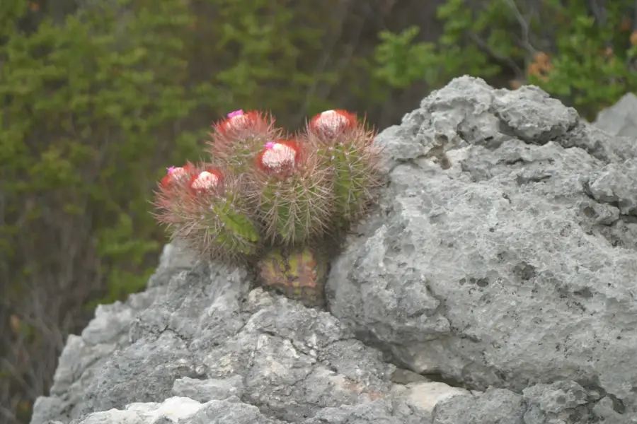
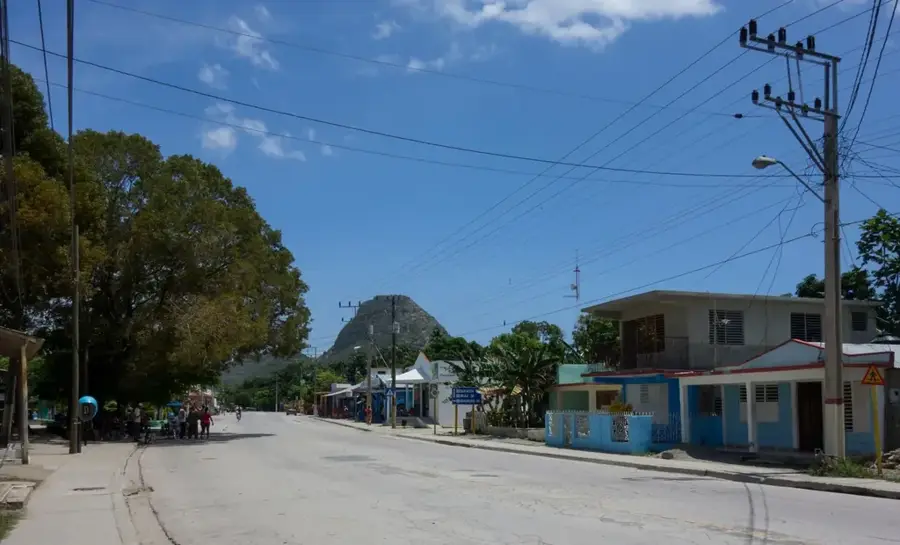
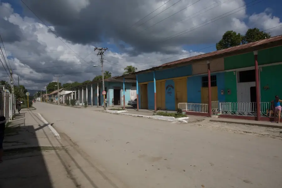
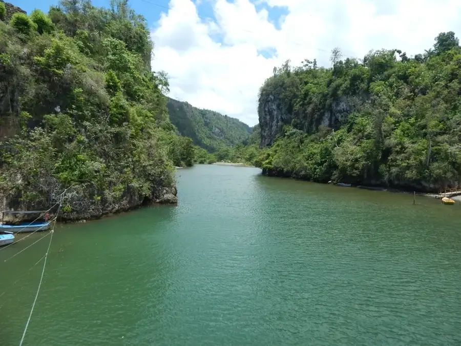
The Maisí Plateau (Meseta de Maisí) is an impressive geological formation at the easternmost tip of Cuba, in the Guantánamo province. This peninsula is world-renowned for its spectacular marine terraces, which are among the best-preserved in the world. The plateau consists of a series of giant steps formed by tectonic uplift and the erosive power of the sea over millions of years. In contrast to the rest of the island, the landscape is quite arid and characterized by xerophytic vegetation, giving it an almost desert-like appearance. Geologically, limestone formations dominate, harboring numerous cave systems and bizarre rock structures. The 'Punta de Maisí' lighthouse marks the easternmost point of the island, overlooking the Windward Passage toward Haiti. Historically, Maisí was the first land sighted by Spanish explorers on their voyage westward. Today, due to its remote location, the region is a place of profound tranquility and gives unique opportunities for studying the geomorphological evolution of the Caribbean.
- Location: Cuba
- Nearby: Maisí (6 km)
Best time to visit & climate
The most pleasant time to visit is Jan–Mar.
| Jan | Feb | Mar | Apr | May | Jun | Jul | Aug | Sep | Oct | Nov | Dec | |
|---|---|---|---|---|---|---|---|---|---|---|---|---|
| Avg °C | 26 | 26 | 26 | 26 | 27 | 28 | 29 | 29 | 29 | 29 | 27 | 27 |
| Rain mm | 38 | 21 | 28 | 35 | 92 | 81 | 64 | 81 | 101 | 137 | 82 | 39 |
📋 Practical info
Geography
Facts
- There are up to 15 distinct levels of marine terraces.
- The highest terrace reaches an elevation of about 500 meters.
- The La Concha lighthouse was completed in 1862.
- Maisí is situated only about 80 km from the coast of Haiti.
- The region experiences the lowest rainfall levels in all of Cuba.
- The terraces were formed during the Quaternary period by episodic uplift.
Explore nearby
Notable places around
Route planner — Car & Motorhome
Where do you start? We build the route here, with stops and country notes along the way.
© OpenStreetMap contributors · OpenRouteService
Sights nearby
Frequently asked questions
What is Meseta de Maisí?
Why is the region geologically unique?
Is there a lighthouse there?
What is the climate like in Maisí?
Can you visit the Meseta?
Maisí Plateau: where is it located?
Maisí Plateau: when is the best time to visit?
Maisí Plateau: why is it worth visiting?

Nearby cities

Nature
More places