Plizio Visual Lab
Loma del Taburete
Weather…
Water temperature…
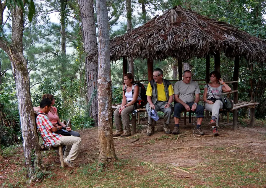
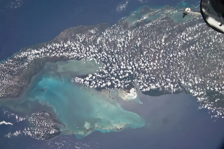
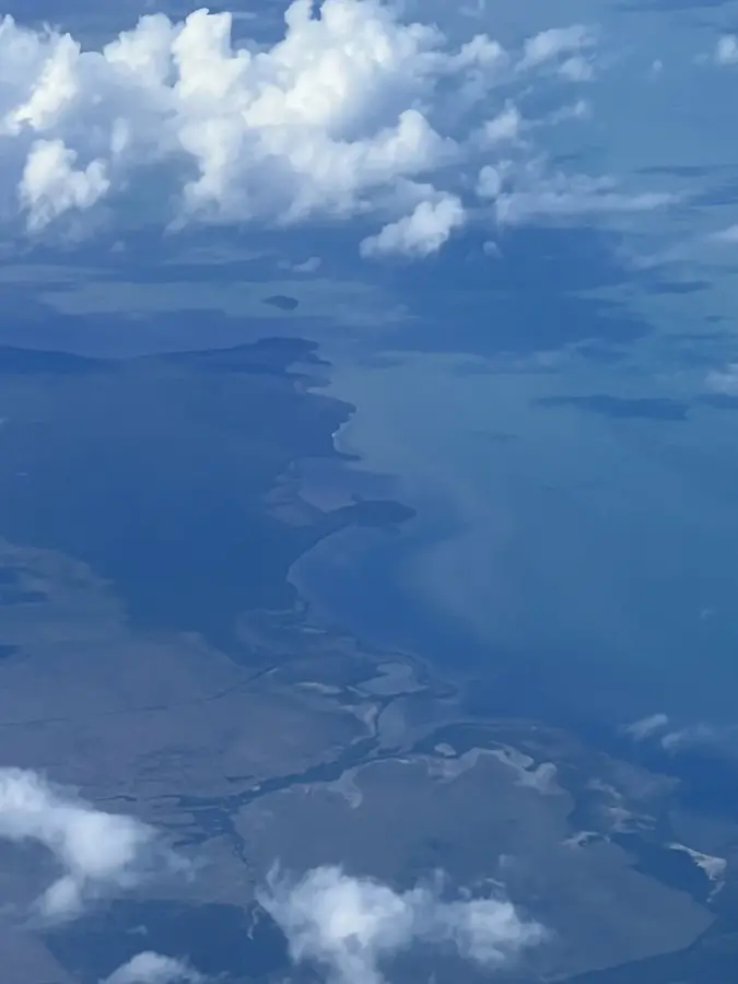
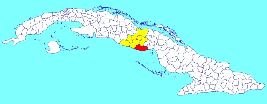
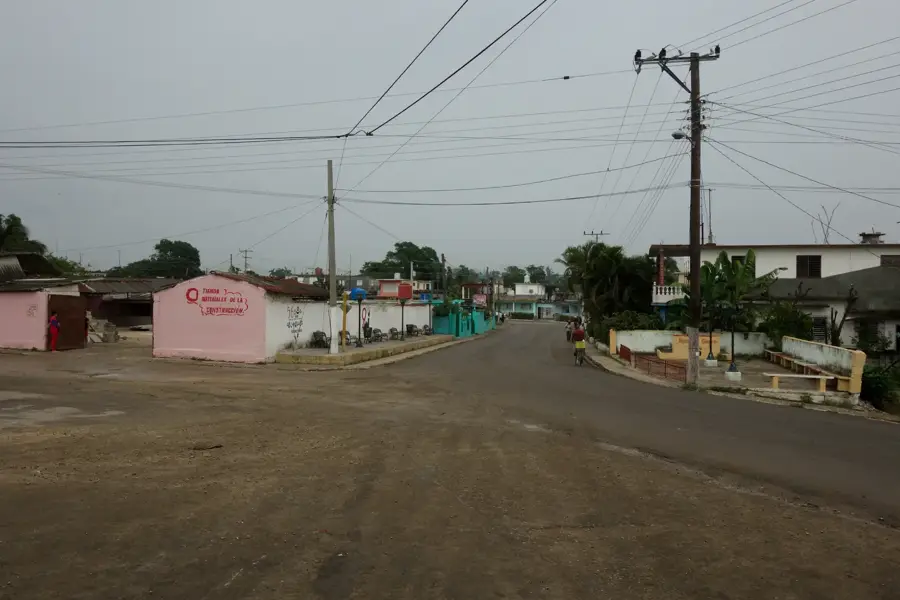
Loma del Taburete is a distinctive elevation in the Sierra del Rosario Biosphere Reserve, located in the Artemisa Province of western Cuba. Rising to approximately 452 meters above sea level, it is one of the most prominent destinations within the Las Terrazas ecological complex. The name 'Taburete' (stool) is derived from the hill's characteristic profile, which resembles a traditional Cuban footstool from a distance. Historically, the mountain is deeply connected to the Cuban Revolution, as it served as a training ground for militia units under the leadership of Che Guevara in the 1960s; a monument at the summit honors this legacy today. Geologically, the hill consists of limestone and shale and is covered by dense, reforested woodlands that provide habitat for a rich variety of birdlife. The hike up its steep trails is a popular activity, rewarding visitors with spectacular panoramic views of the San Juan Valley and the southern coast of Cuba. The area represents a pioneering model for combining environmental conservation with sustainable community development.
- Location: Cuba
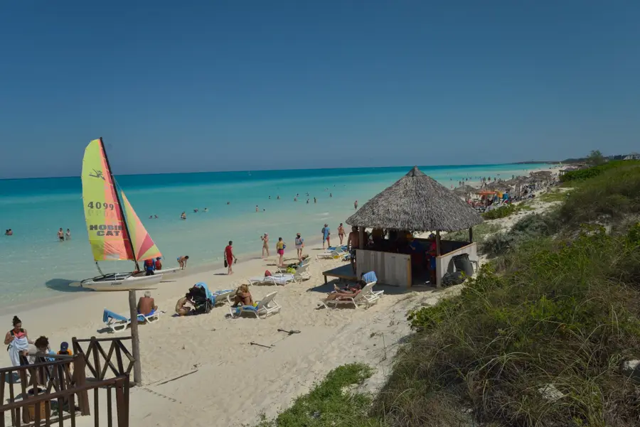
- Nearby: Playa Ancón (11 km)
Best time to visit & climate
The most pleasant time to visit is Jan, Feb, Dec.
| Jan | Feb | Mar | Apr | May | Jun | Jul | Aug | Sep | Oct | Nov | Dec | |
|---|---|---|---|---|---|---|---|---|---|---|---|---|
| Avg °C | 23 | 24 | 25 | 26 | 27 | 28 | 28 | 29 | 28 | 27 | 25 | 24 |
| Rain mm | 12 | 18 | 17 | 28 | 83 | 77 | 61 | 84 | 89 | 78 | 22 | 16 |
📋 Practical info
Geography
Facts
- Elevation of about 452 meters.
- Located within the Las Terrazas complex.
- Name means 'stool' due to its summit shape.
- Training site for Che Guevara in the 1960s.
- Features a monument to revolutionary fighters.
- Offers views extending to Cuba's southern coast.
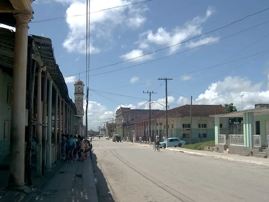
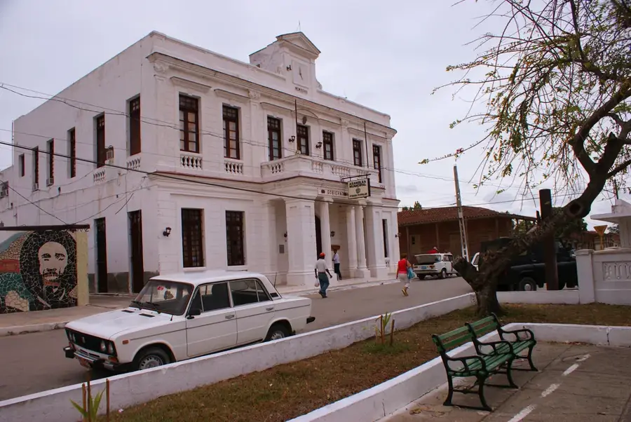
Explore nearby
Notable places around
Route planner — Car & Motorhome
Where do you start? We build the route here, with stops and country notes along the way.
© OpenStreetMap contributors · OpenRouteService
Sights nearby
Frequently asked questions
What is Loma del Taburete?
Does Loma del Taburete offer a good view?
How difficult is the ascent?
What monument is located at the top?
Are there forest paths there?
Loma del Taburete: where is it located?
Loma del Taburete: when is the best time to visit?
Loma del Taburete: why is it worth visiting?

Nearby cities
Nature
More places