Plizio Visual Lab
Manuae

Weather…
Water temperature…
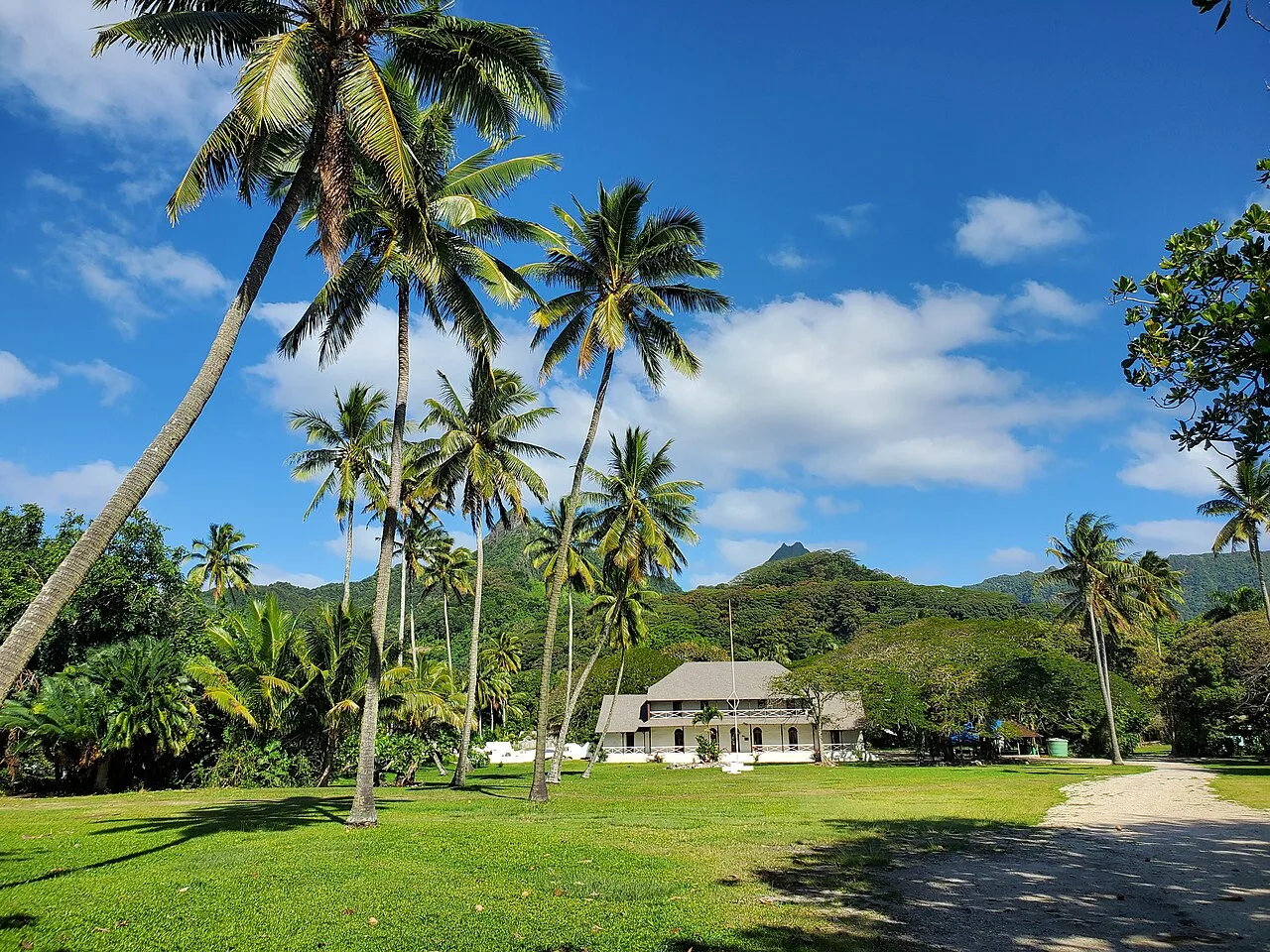
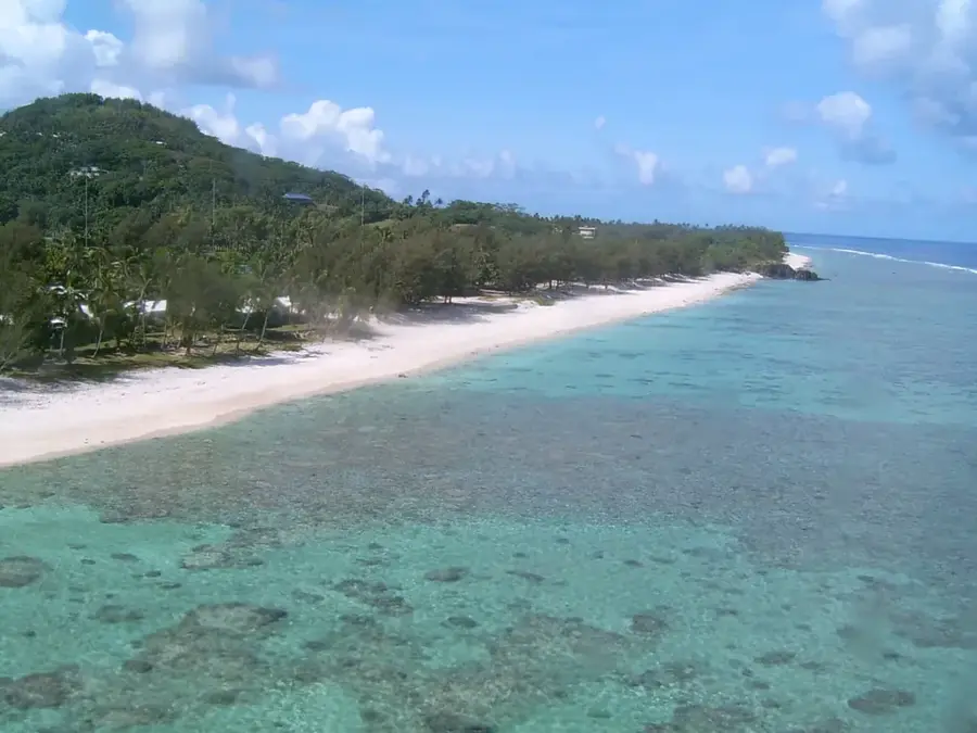
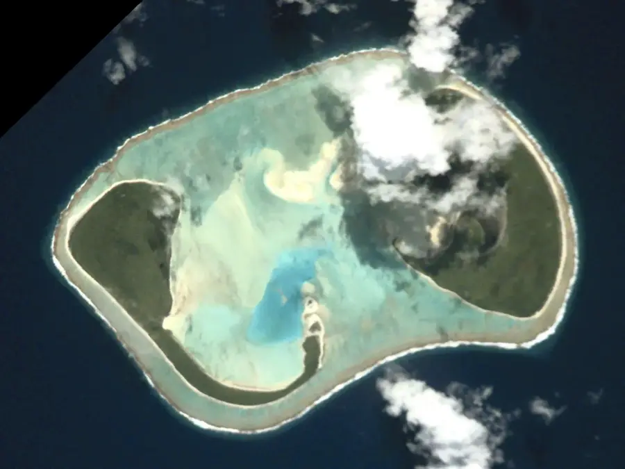
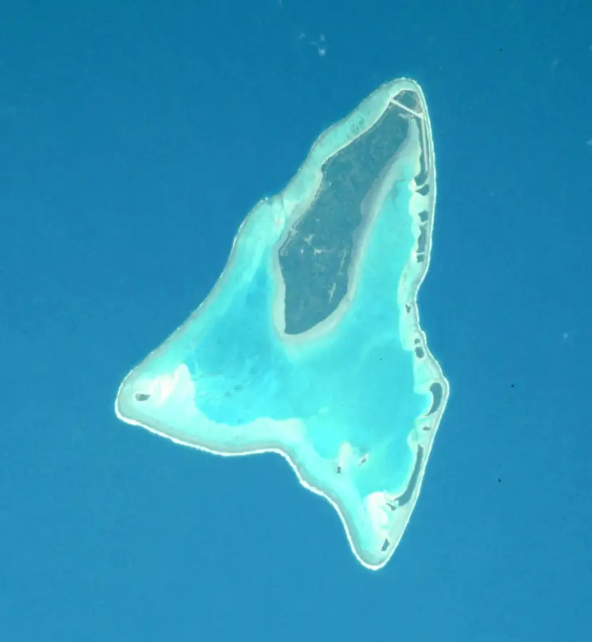
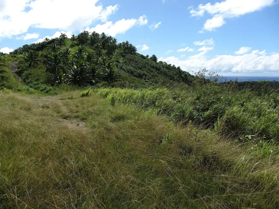
Manuae is an uninhabited twin atoll located in the southern group of the Cook Islands, consisting of two large motus, Manuae and Te Au O Tu. These islets wrap around a shallow lagoon covering roughly 13 square kilometers, creating a pristine marine environment. As the first established marine reserve in the Cook Islands, the atoll serves as a critical biological sanctuary, most notably for the Green sea turtle, which uses the sandy beaches as a major nesting site. Captain James Cook was the first European to sight the islands in 1773, originally naming them Sandwich Island before the name Manuae was restored. Today, the lack of human inhabitants ensures that the coral reefs and surrounding waters remain teeming with diverse fish species and seabirds, making it a key site for Pacific conservation efforts.
Best time to visit & climate
The most pleasant time to visit is Jul–Sep.
| Jan | Feb | Mar | Apr | May | Jun | Jul | Aug | Sep | Oct | Nov | Dec | |
|---|---|---|---|---|---|---|---|---|---|---|---|---|
| Avg °C | 27 | 27 | 27 | 27 | 26 | 26 | 25 | 24 | 25 | 25 | 26 | 27 |
| Rain mm | 209 | 211 | 167 | 169 | 140 | 56 | 62 | 58 | 64 | 88 | 133 | 201 |
📋 Practical info
Geography
Facts
- Area: 6.2 km²
- Number of islands: 2
- Highest point: 5 m
- Discovery: 1777 by James Cook
- Turtle species: Green turtle, Hawksbill turtle
- Protected status: Bird sanctuary
Explore nearby
Notable places around
Route planner — Car & Motorhome
Where do you start? We build the route here, with stops and country notes along the way.
© OpenStreetMap contributors · OpenRouteService
Sights nearby
Frequently asked questions
Are tours offered to Manuae?
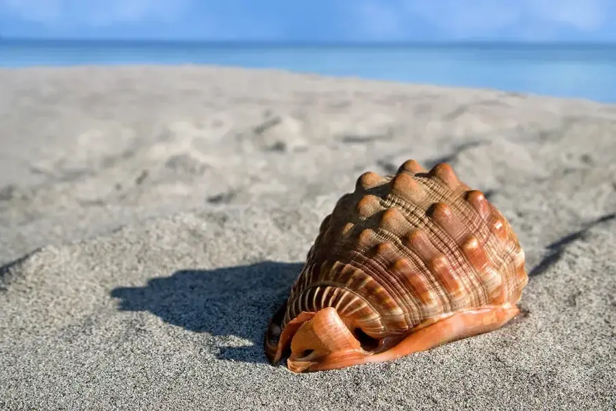
What color is the sand on Manuae?
Are there coconut crabs there?
Is the water deep enough for large ships?
Is it allowed to collect shells there?
Manuae: where is it located?
Manuae: when is the best time to visit?
Manuae: why is it worth visiting?

Nearby cities

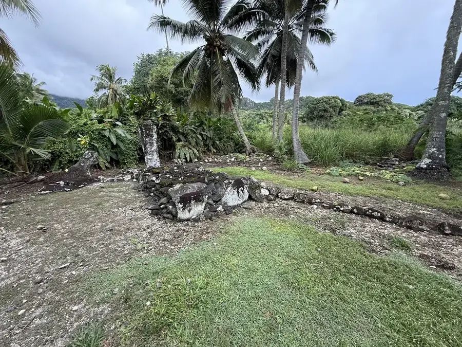
History & landmarks
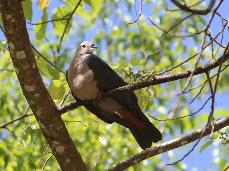


Nature
More places